
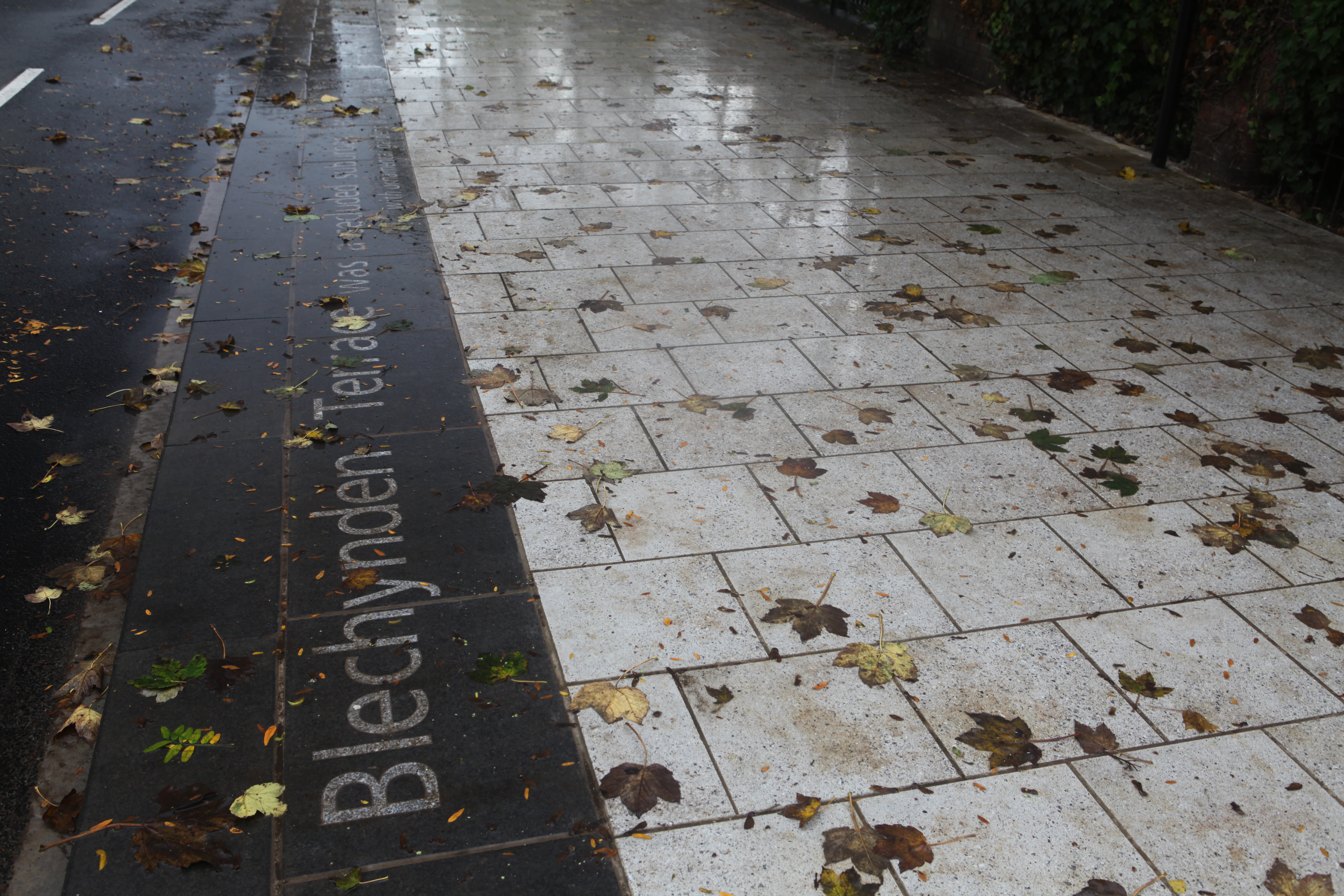
Thursday 13th November 2014 saw the last black basalt slab installed on Blechynden Terrace to complete the ‘Canal Shore’ artwork installation.
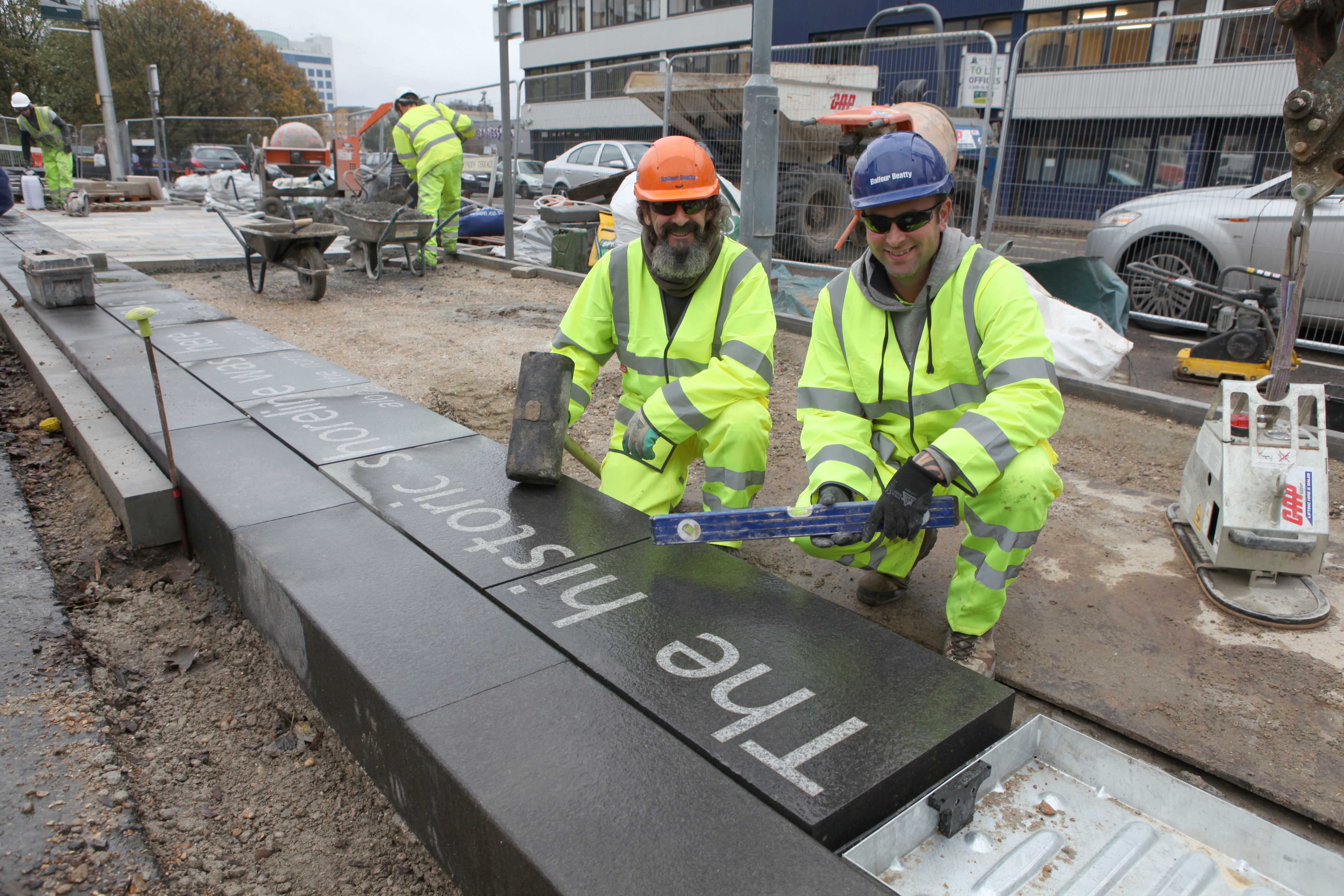
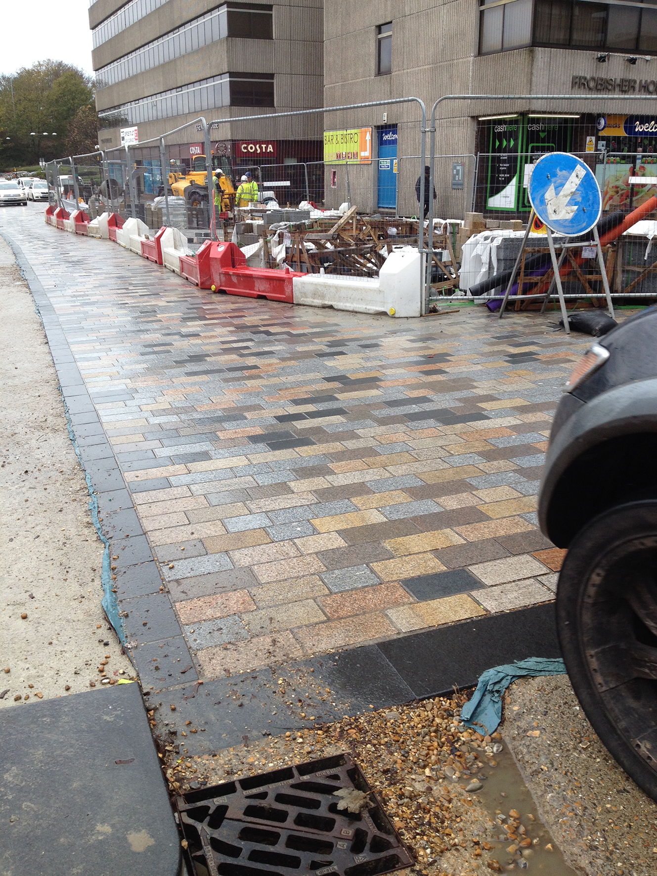
Left to right – Martin Miller and Jay Geary of Balfour Beatty, who have together installed all the 205 linear metres of the kerb edge artwork – which was manufactured and inlaid with text by Hardscape – along Blechynden Terrace and the forecourt of Central Station.
This almost – but not quite – completes the Phase 1 works for the Southampton Station Quarter North project being delivered by Balfour Beatty Living Places for Southampton City Council. This project is one of seven ‘Very Important Projects’ (VIP’S) & part of its City Centre Master Plan which will see one of Southampton’s most important gateways transformed into ‘an exciting arrival experience fit for a major city.’
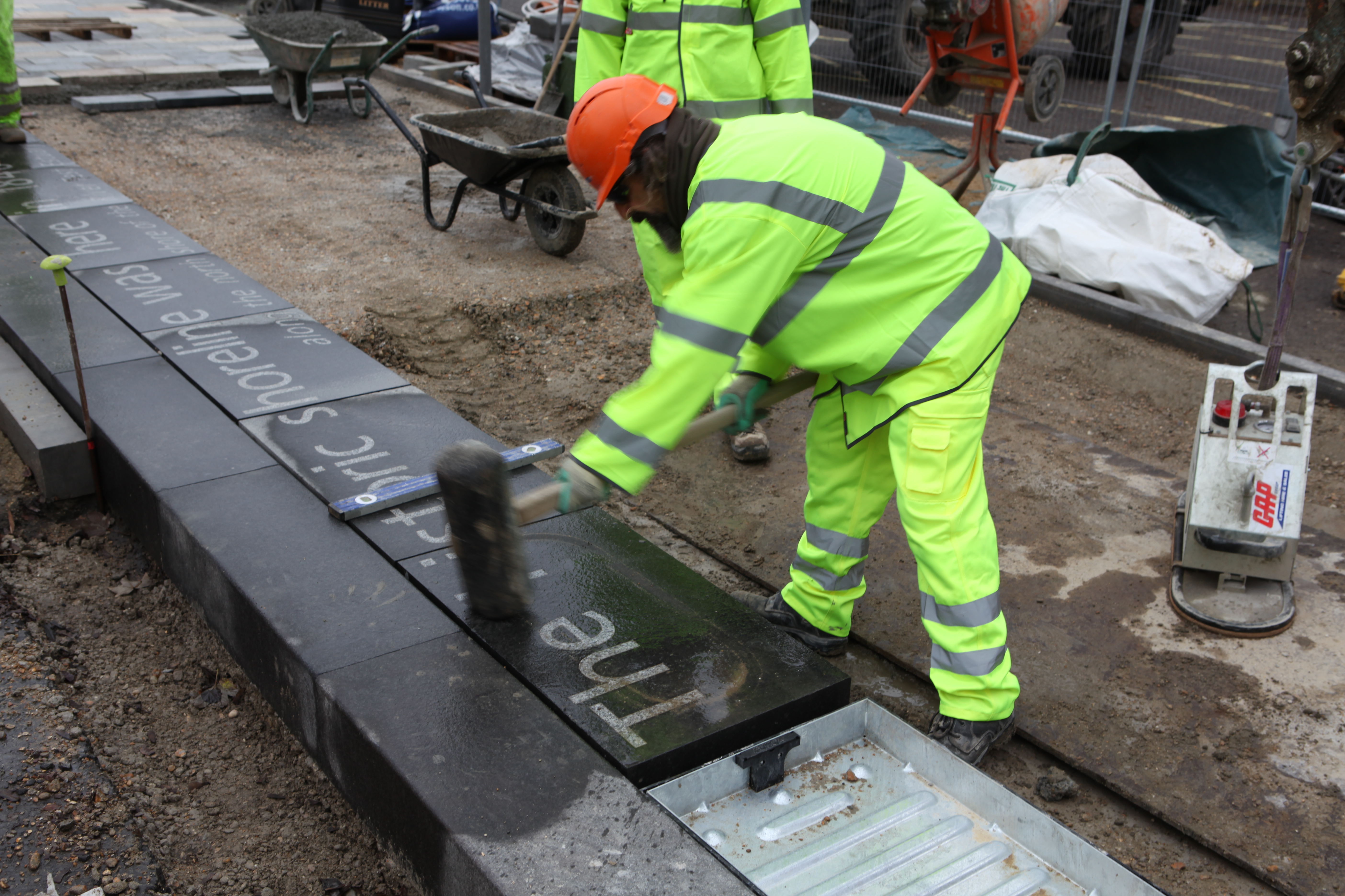
Some more images of works in progress:

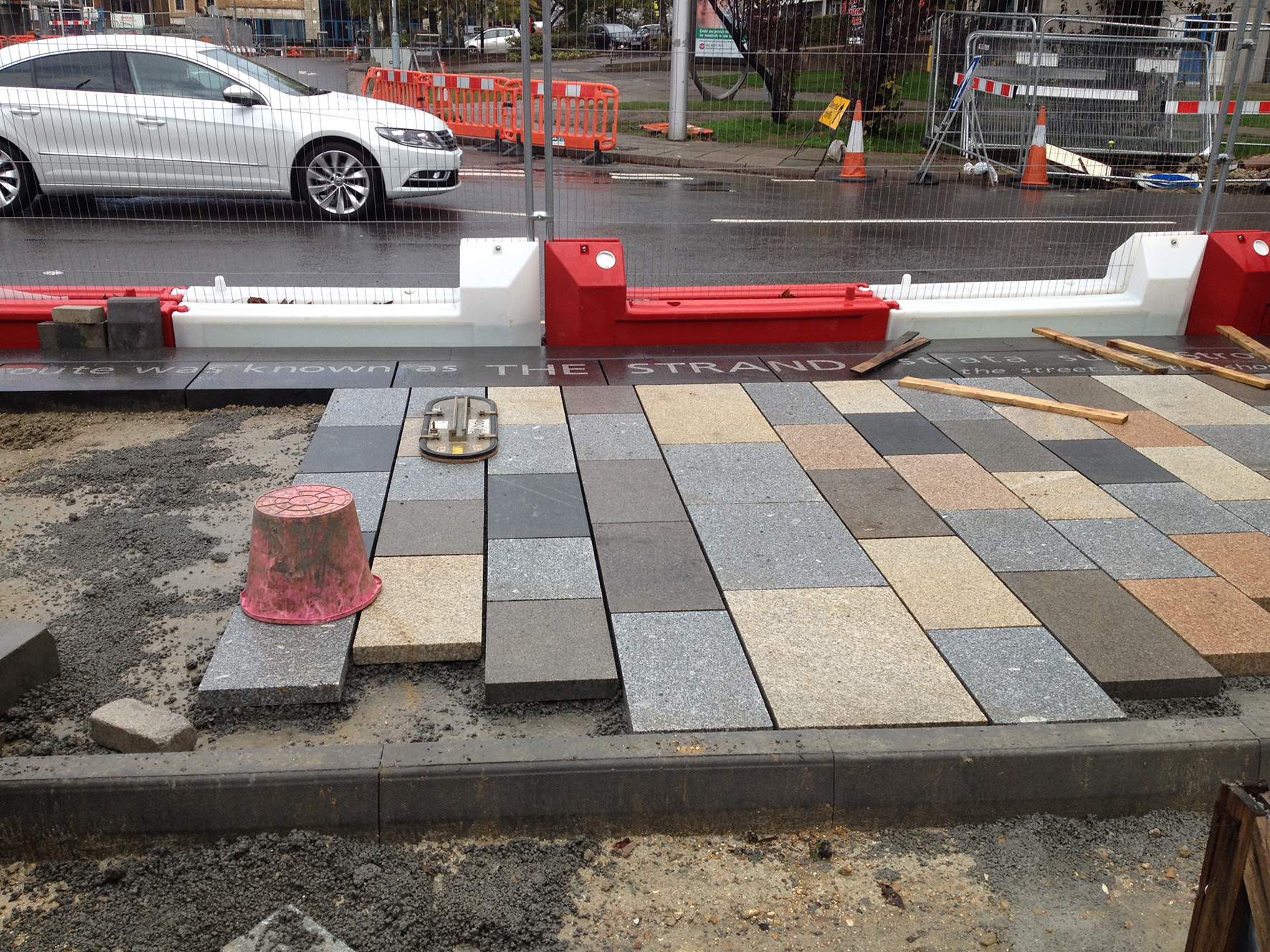
The site, adjacent to the shoreline of the Test Estuary has always been a point of confluence. The main route West in & out of the city ran along the shoreline and was known as The Strand. At a point marked by Achards Bridge, which replaced an ancient ford across the Rollesbrook Stream which enters the River Test at this point, the city boundary with Millbrook was established.
Today this site is near to the entrance to Southampton Central Station. You may cross the Rollesbrook Stream yourself each time you visit the station. The station is the gateway to the city & a critical hub & interchange.
The individual lines of texts are to be set out adjacent to the carriageway on the south side of Blechynden Terrace at site specific points along the ‘Canal Shore’ feature kerb line, & reveal in their expression something of the history and use of the local area. It is not a linear ‘narrative’ and has no specific start or finish. It will engage with people as and when they encounter the words. Some words and phrases have their origin in fact and are ‘on the record’, whilst some is anecdotal and ‘remembered’.
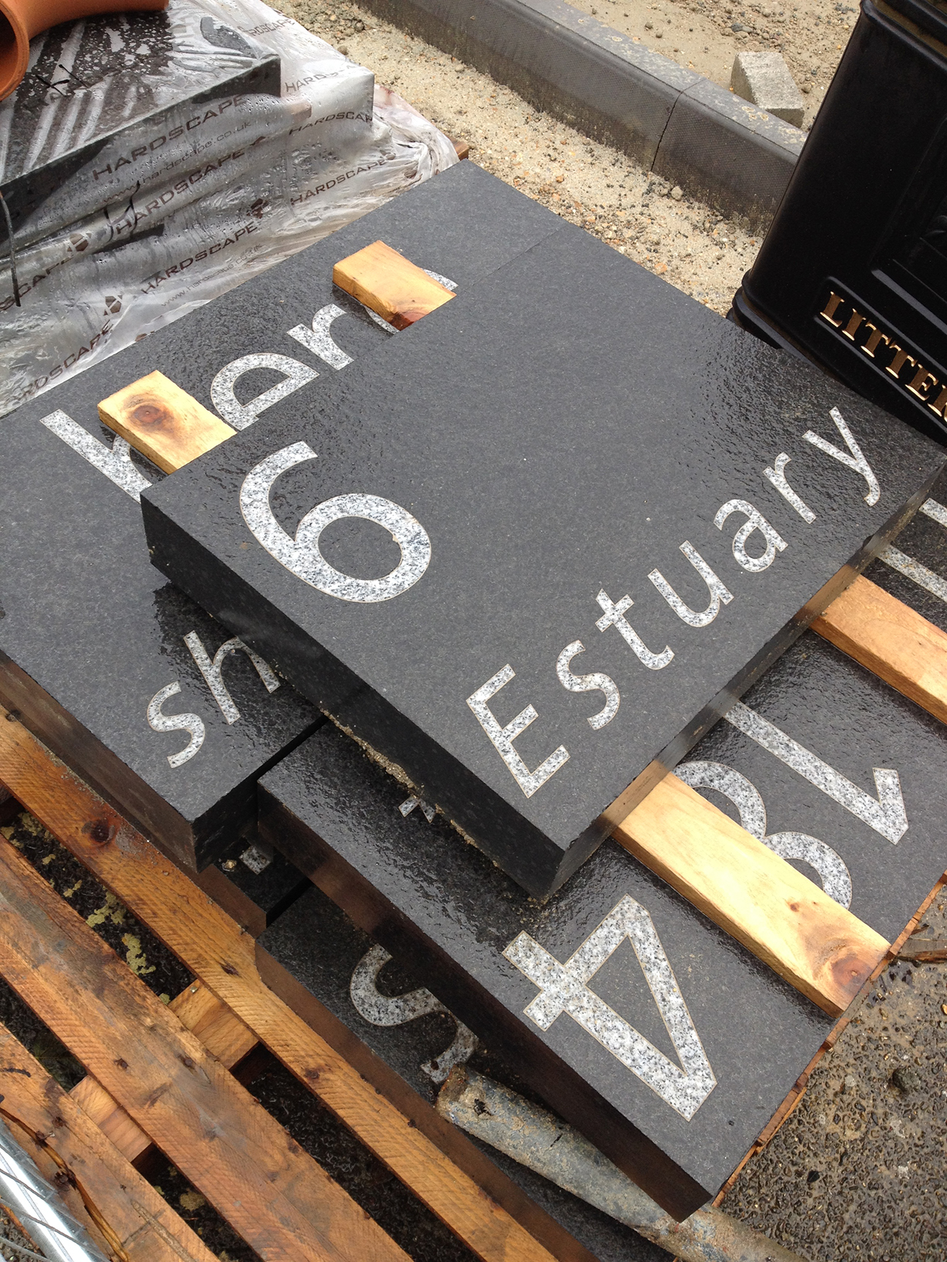
The text on these slabs is part of the following line – ‘The historic shoreline was here in 1846…the north shore of the River Test Estuary’
The 1846 Large Folio Royal Engineers Map held in the Southampton City Council Archive, is wonderfully accurate & detailed. It shows the planned route out over the mudflats of the unfinished ‘Dorchester Railway’. The shoreline was at this time still north of this point, with the high water mark reaching to what is now, the southern footpath of Blechynden Terrace & Southbrook Road. The historic curve of the Bay here is thought to be a meander of the ancient Solent River system. SCC Libraries & Archive
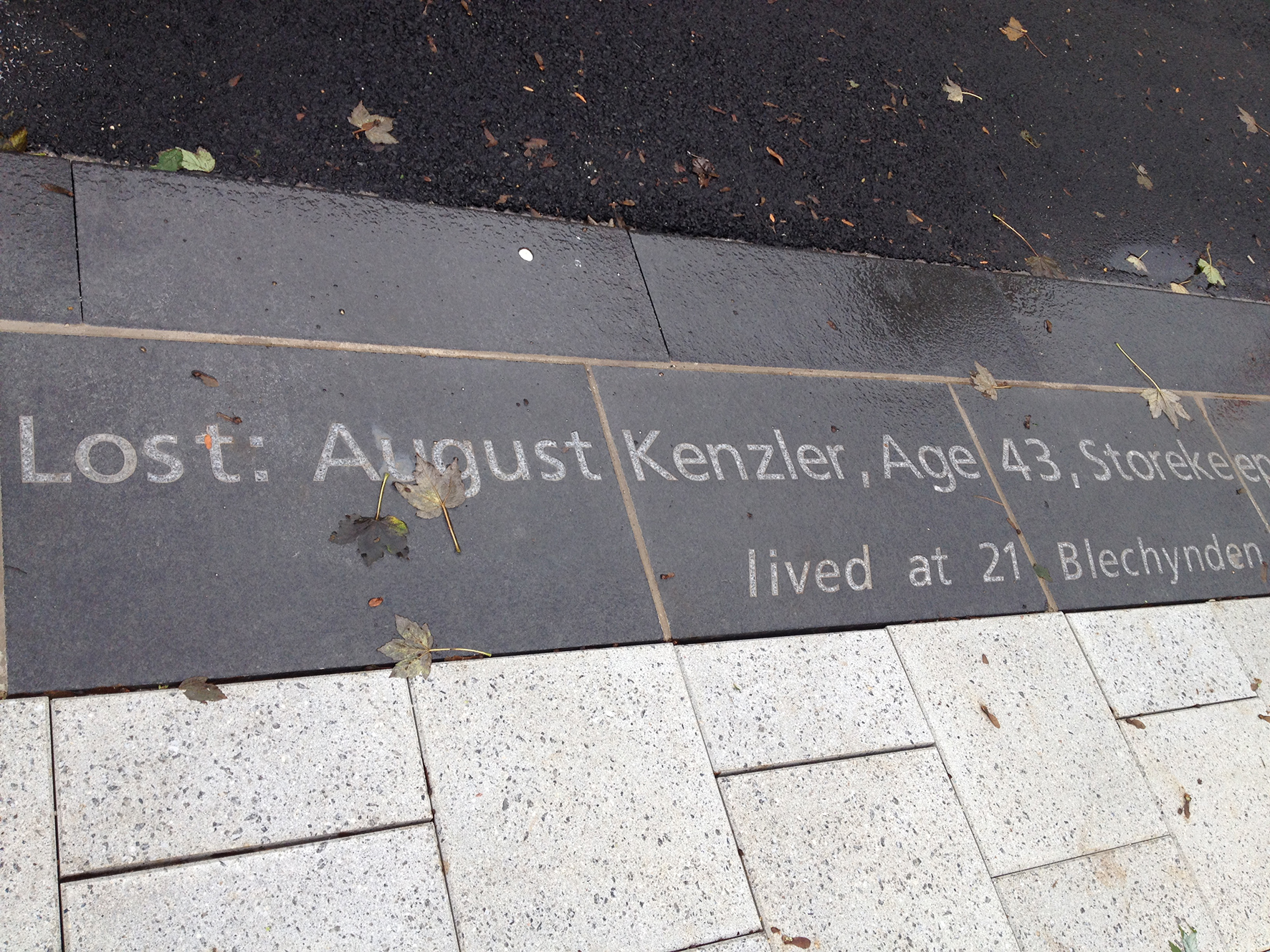
August Kenzler was lost when the Titanic struck an iceberg on its maiden voyage. He was one of seven crewmen (from more than 720 from Southampton) who lived in the area bounded by our project.
John Henry Stagg – Steward – 1st Class – Lost – 66 Commercial Road
August Kenzler – Storekeeper – Age 43 – Lost – 21 (12) Blechynden Terrace
Michael Stafford – Greaser – Age 37 – No 4 Southbrook Road
Walter Edward Saunders – Trimmer – Age 25 – No1 Suffolk Sq (off Southbrook Road)
Long – Trimmer – Age 28 – No 19 Sidford Street –
William Logan Gwinn – Age 37 – No 4 Commercial Road
An extremely interesting site, good to have so much background information on the ongoing work in the Central Station area. Having a keen interest all my life in the history of my home town, it has been informative to see some images I have not seen before. I was sure that the blitzed site, the small park, in Blechynden Terrace would disappear during the renovations. I now realise that the whole project is be overseen by people who care about our local history. I thank you and wish you well on the next phases of the work.
Rod –
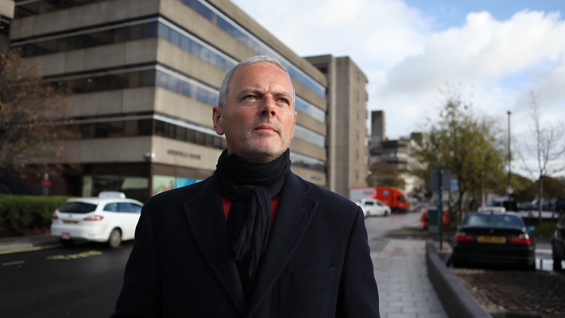
Thanks for your kind comments about the project. As the project artist, my role was to develop a contextual & research led response to the site so this could inform the design process.
I have been given access to great information and images from a whole range of people and organisations in Southampton. The whole project team have been very committed to – hopefully – consulting with as wide and as inclusive a group as possible in the City and making the information available to everyone. The small park – the former Emperia Buildings – is being delivered by Capita, and not be the team I am working with – however, we have been in discussion with them throughout this process. The Phase 1 work has now completed and the Phase 2a and 3 are due to start on site anytime now. Thanks for your interest ! Regards Chris
Ven –
Thanks for your interest & comments – my research was based around the fact that the railway line was built out upon the mudflats of the River Test Estuary, suggesting that this area was covered by the sea at High Tide. The 1846 Large Folio Map of Southampton – in the SCC Archives – clearly shows this. Subsequent 19th Century OS maps actually point out the line of the Highest Tide in text, which, when overlaid on a modern map, clearly shows this to be where the office buildings are situated on the North side of Blechynden Terrace. Although, for purposes of functionality – we have taken the south kerb line of Blechynden Terrace as our conceptual shoreline. This also happens to be the edge of the former Salisbury to Southampton Canal, which is assumed to be buried under the route of the road through this location.
All of this information is available at Southampton Library / Local Studies / Maritime Collection and / or Archives – all located in the Civic Centre. If you have any information which would infer otherwise, it would be great to see it ! Cheers, Chris