
Friday 12th February 2016
The archivists and librarians at Medway Archives and Local Studies Centre in Strood have been brilliantly helpful during this project !
Norma Crowe, Cindy Ohalloran and Irina Fridman have been invaluable in helping me search for images and text references. We have now obtained several wonderful archive images taken along our route from Chatham Station to the Riverside, along Railway Street and Military Road, which MALSC have given us permission to use.
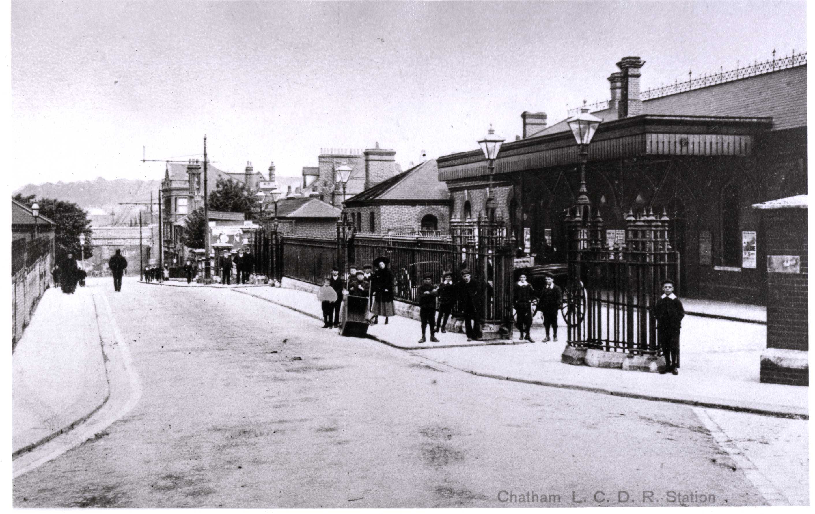
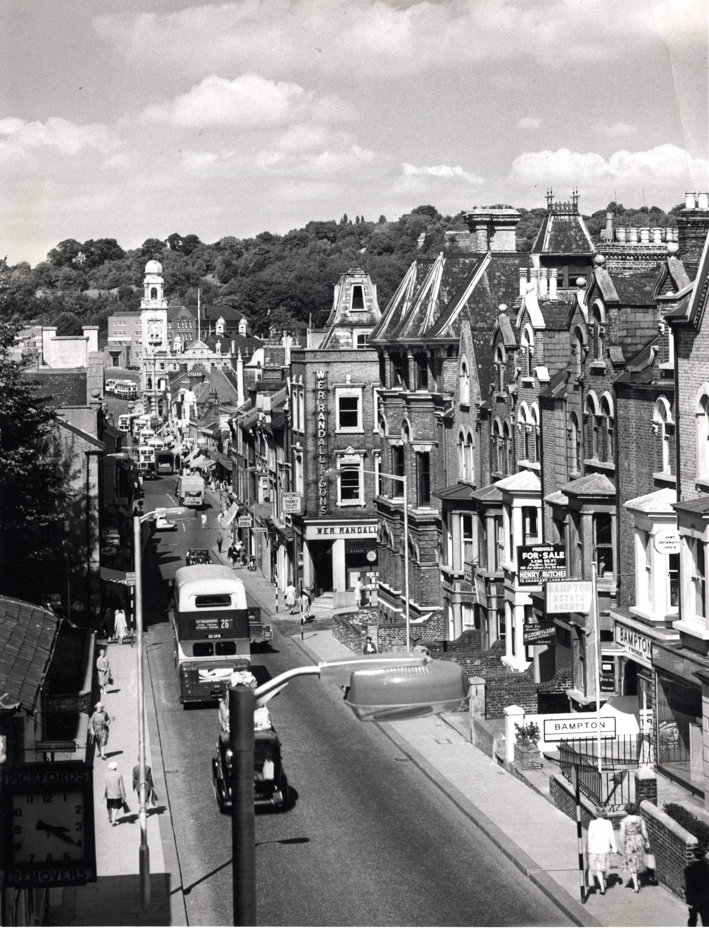
This site has remarkably changed very little in over 100 years – only the ironwork railing and lighting columns have gone.

The Dutch Gable ended building on the right is still here. The New Road Viaduct built in 1794 was demolished in 1900 to make way for a new bridge viaduct under which Trams could pass safely. Note the double kerb on the left of the image – this is no longer there, but similar kerbs still exist outside the Railway Station.

What we have all found impressive in this image, is the clarity within the public realm. Clear pavements with contrasting and well defined kerbs. Obviously not as much traffic ! The street frontage to St John’s Church and the clear flow of movement toward the Town Centre is great to see, in light of the current experience for both drivers and pedestrians.
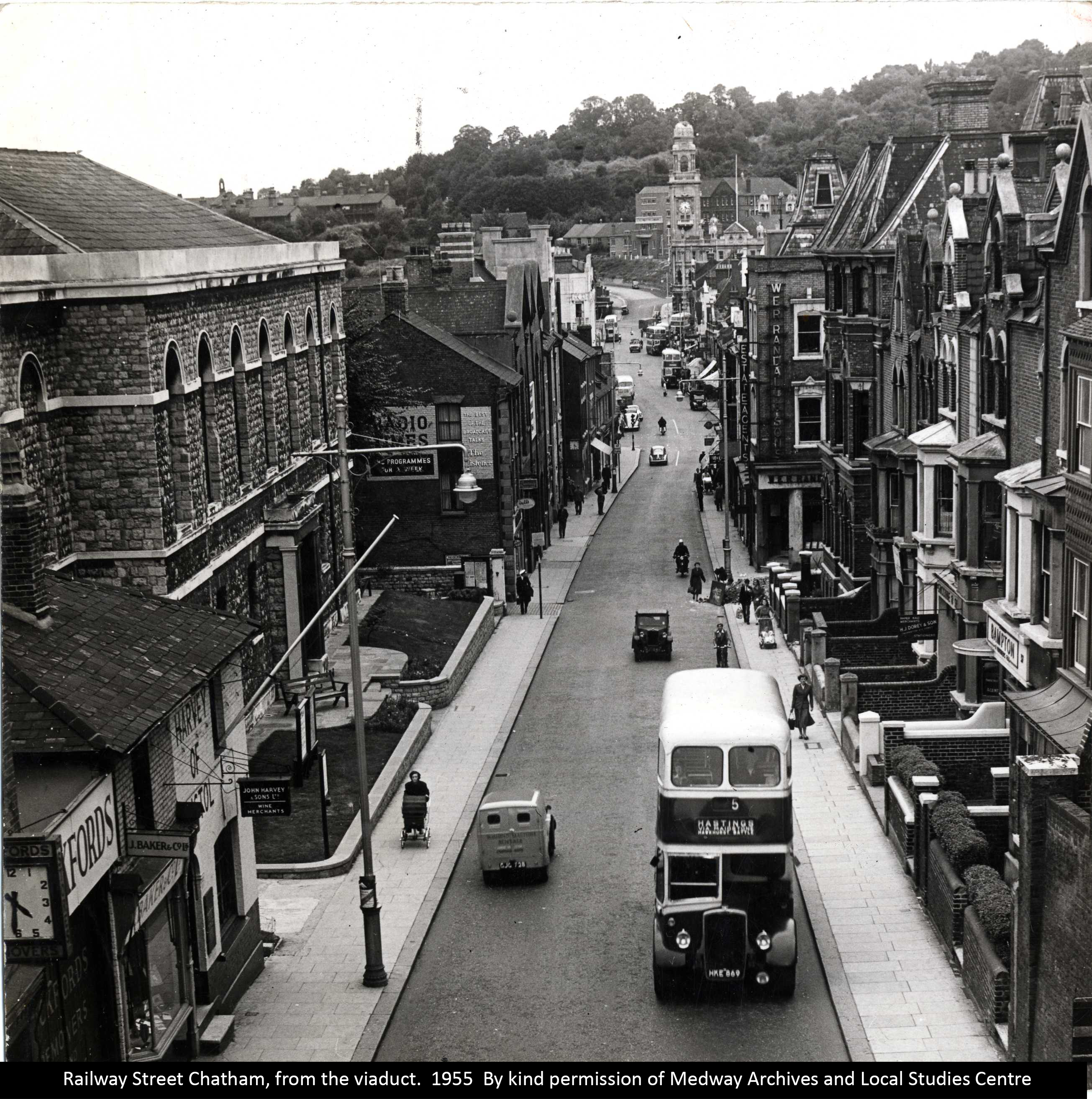
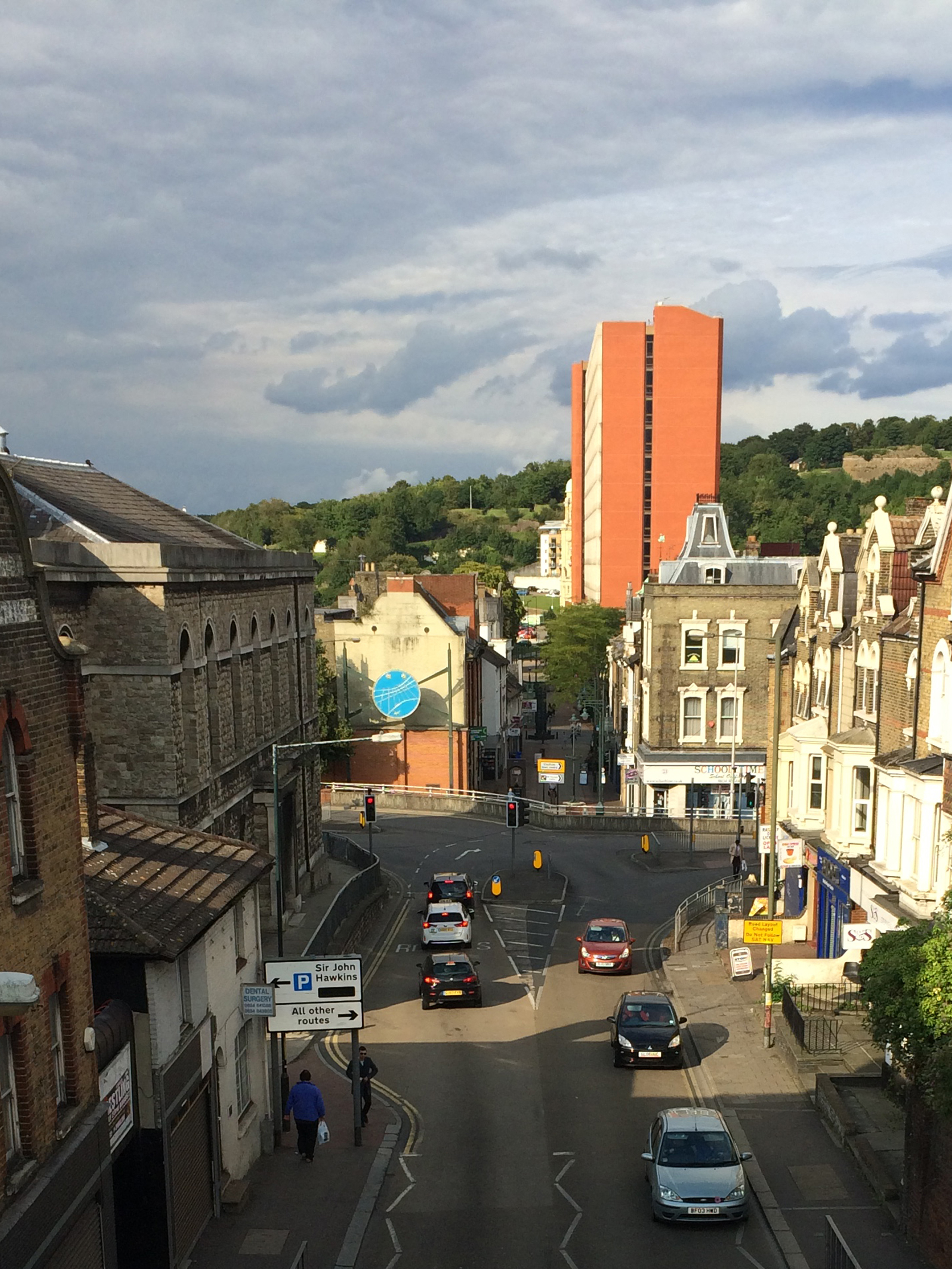
It is clear to see how, in the image below taken in 2015, how the landscape and clarity of wayfinding has been considerably interrupted, physically and legibly. Navigating to the town centre and riverside for pedestrians is now a very conflicting and varied experience.

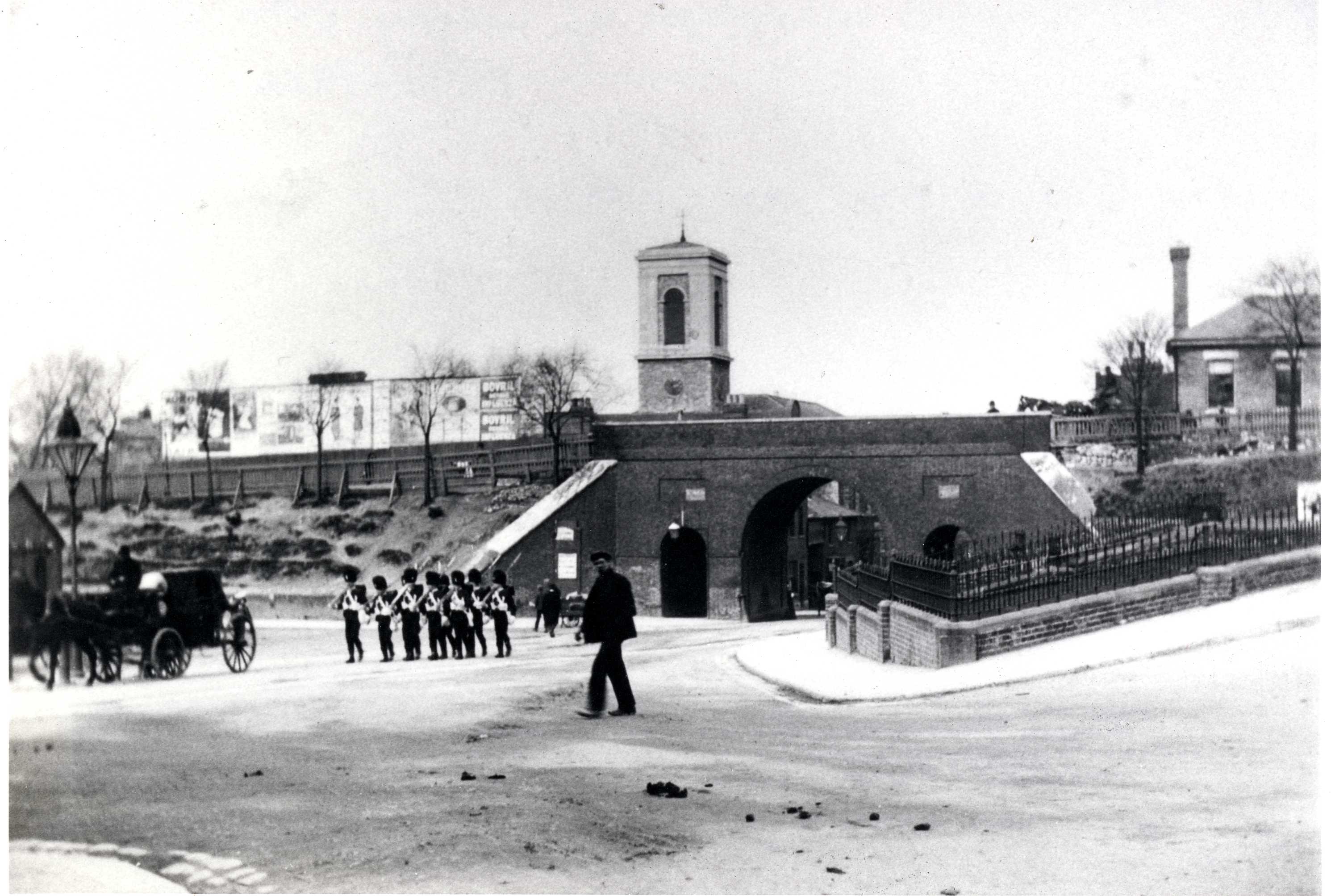
This wonderful image shows the Royal Marines on Military Road with Coopers & Bernards Store on the left and The Paddock on the right. All the shops on the left hand side were demolished to make way for Mountbatten House and the Pentagon Shopping Centre. The idea and concept behind ‘Chatham Patterns’, comes partly from the memory of these military parades and formations, which for a century at least have been woven and imprinted into the very fabric of the town. The presence of many Military Outfitters along our route is also a great influence in terms of the images they conjure up about ‘fabric’ and ‘pattern’ and the people who wore them.
I was put onto this thread via an online forum group called Kent History Forum, where a fair amount of detail and social history about Chatham is recalled.
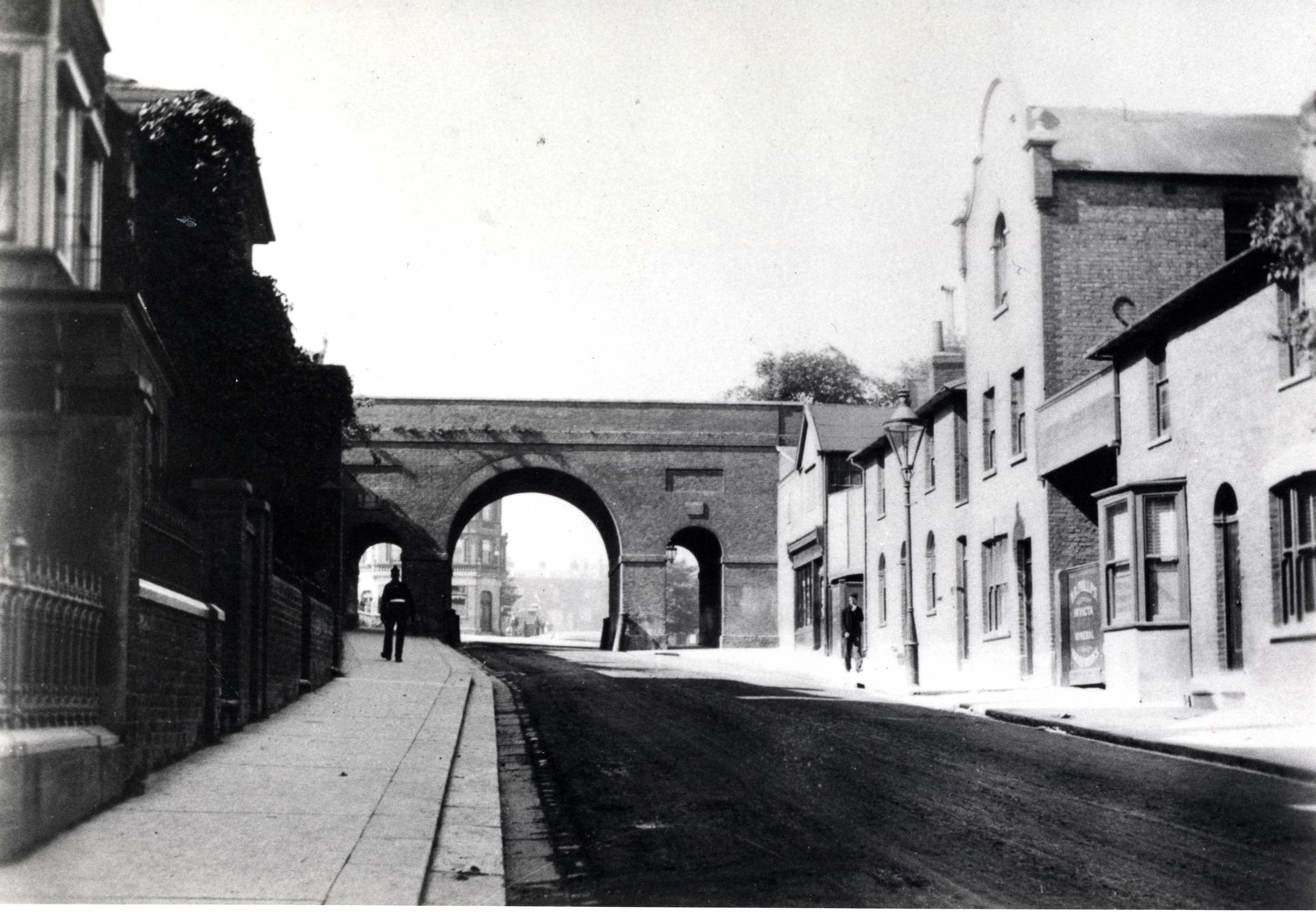
The walk to Strood from Chatham Station gives a wonderful insight into the architecture and industry which developed along the banks of the Medway. Lots of detail and interest to record !