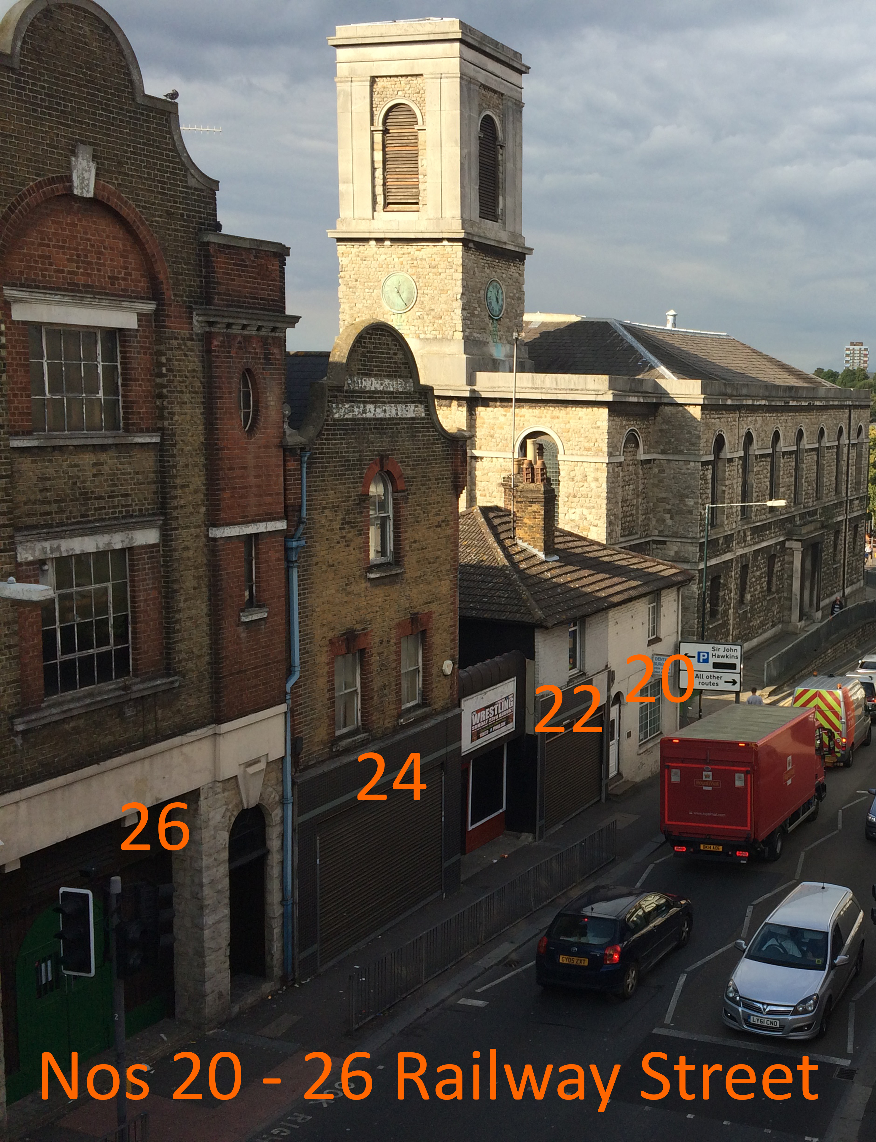
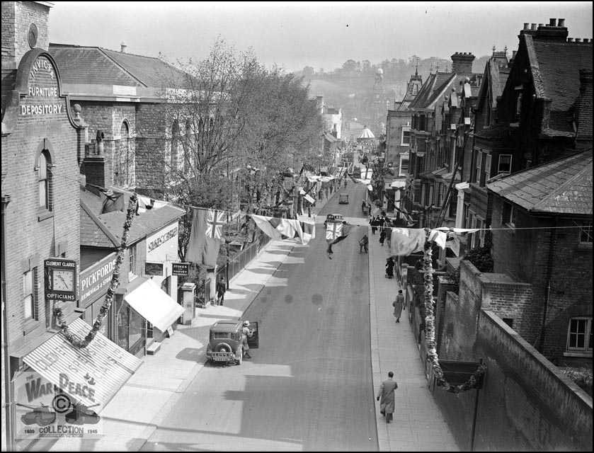
B.R. Philips made Home Brewed Ginger Beer at The Invicta Works, Nos 22 – 24 Railway Street – Chatham Placemaking Project – Chatham Patterns – Image: Christopher TippingRailway Street from New Cut Viaduct date unknown. Collection of Rex Cadman. by Permission of Rex Cadman and Kent Photo Archive.No. 26 Railway Street. In 1961, this was the premises of Frank Bannister & Son Ltd – Motor and Motorcycle Engineers. Chatham Placemaking Project – Chatham Patterns – Image: Christopher Tipping
In 1912 – No 26 was the home of the Invicta Furniture and Baggage Depository. No 28 was a Garage and Cycle Works.
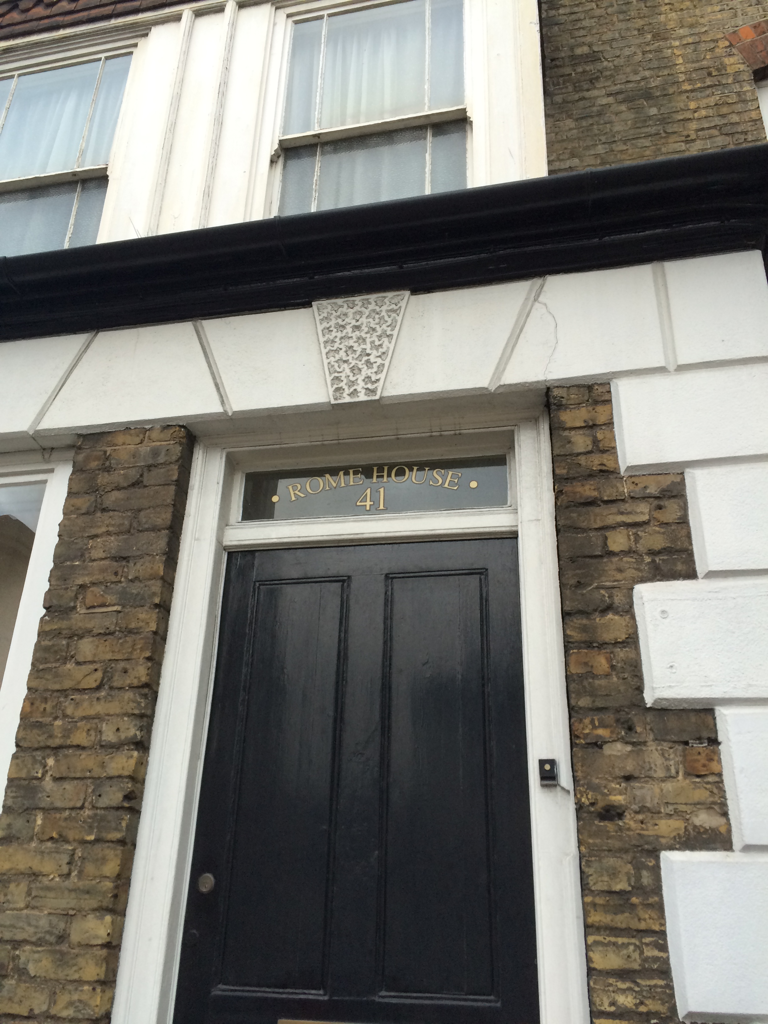
Rome House, No 41 Railway Street. Chatham Placemaking Project – Chatham Patterns – Image: Christopher Tipping
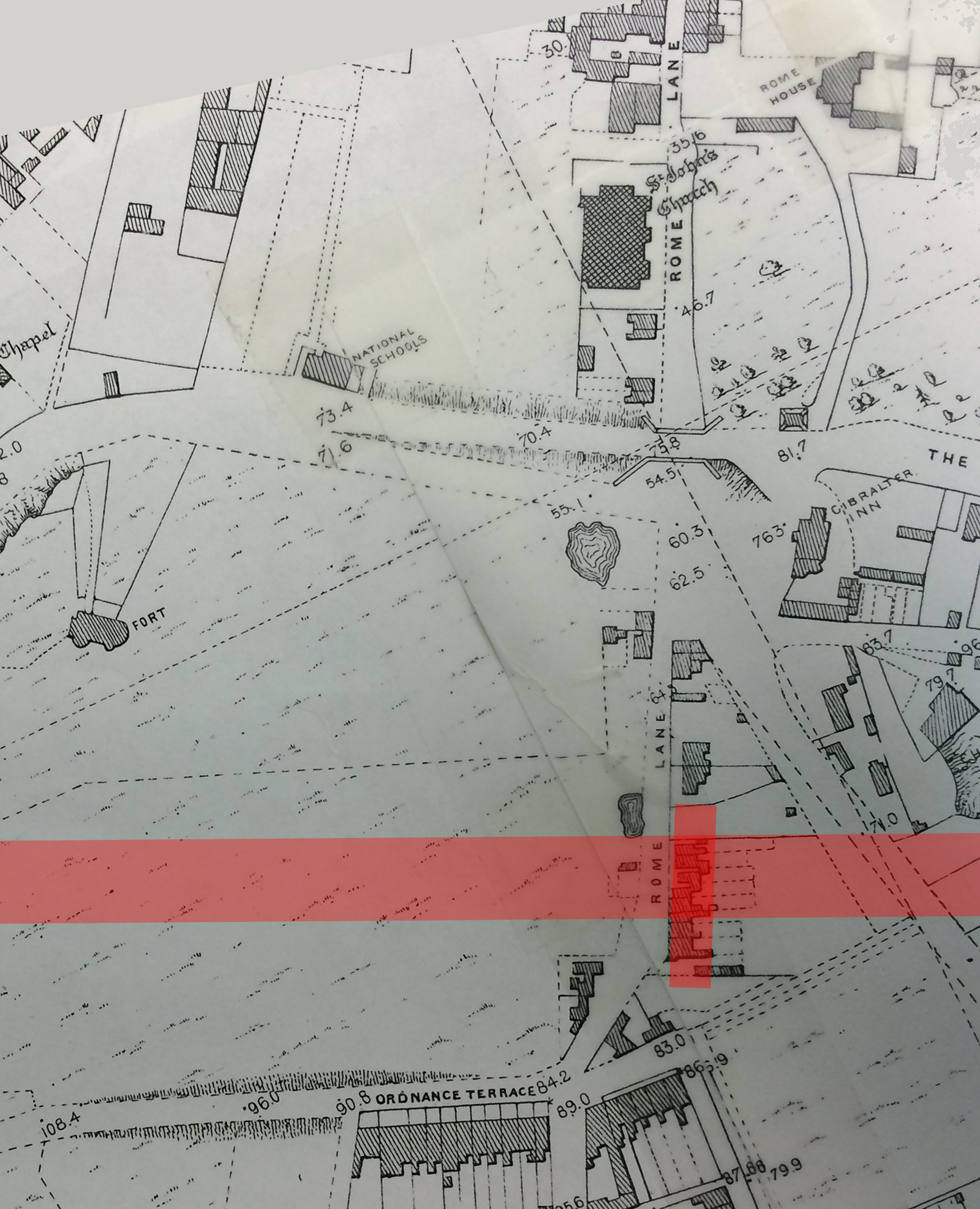
The 1848 Ordnance Survey Public Health Map of Chatham shows Rome House – a large detached mansion set in landscaped gardens – opposite St John’s Church on Rome Lane. Following the building of Chatham Railway Station, Rome Lane became Railway Street sometime after 1871. No 41 would have been a new property named after the original house.
A detail from the 1848 OS Public Health Map of Chatham, with St John’s Church and Rome House on Rome Lane at top right. The pink line shows the eventual route of the railway and Chatham Railway Station, which opened in January 1858. By permission of Medway Archives and Local Studies Centre. Chatham Placemaking Project.A detail of the OS Map of Chatham from 1864. By permission of Medway Archives and Local Studies Centre. Chatham Placemaking Project. Image: Christopher Tipping
This detail of the OS 1864 Map of Chatham shows Chatham Station at the bottom of this image. Railway Street to Military Road runs from the middle of the image to the top of the image. St John’s Church and Rome House can clearly be seen.