Thursday 3rd September 2015 – Chatham Research Visit No 2 – A clearer vision…
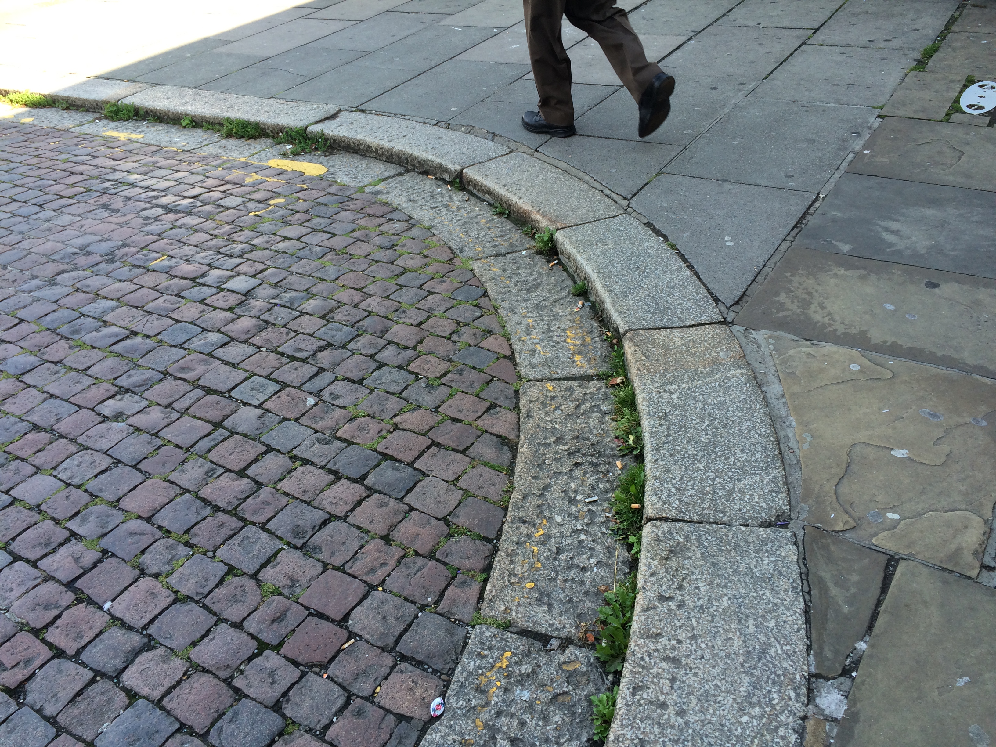
Chatham is making more sense ! – the topography here is incredibly helpful in aiding navigation around the town. Geography, topography and the particular curve of the River Medway provided the strategic advantage which led to the exponential growth of the Docks and town from the early part of the 18th Century. The day today was clearer and brighter – unlike my first visit when it poured down all day – this really makes a considerable difference! Still walking as much as possible – by far the best way of getting to grips with a place – today I went as far as Strood, via Rochester and visited the Medway Archives and Local Studies Centre.
The following images again trace the pedestrian route from the Rail Station to the Waterfront.
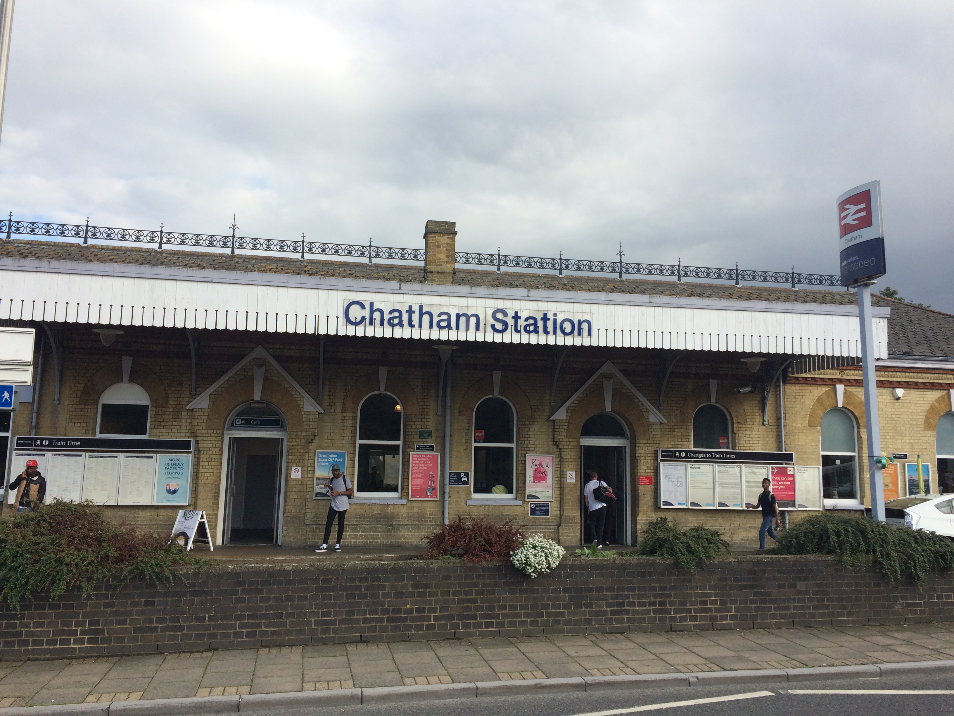
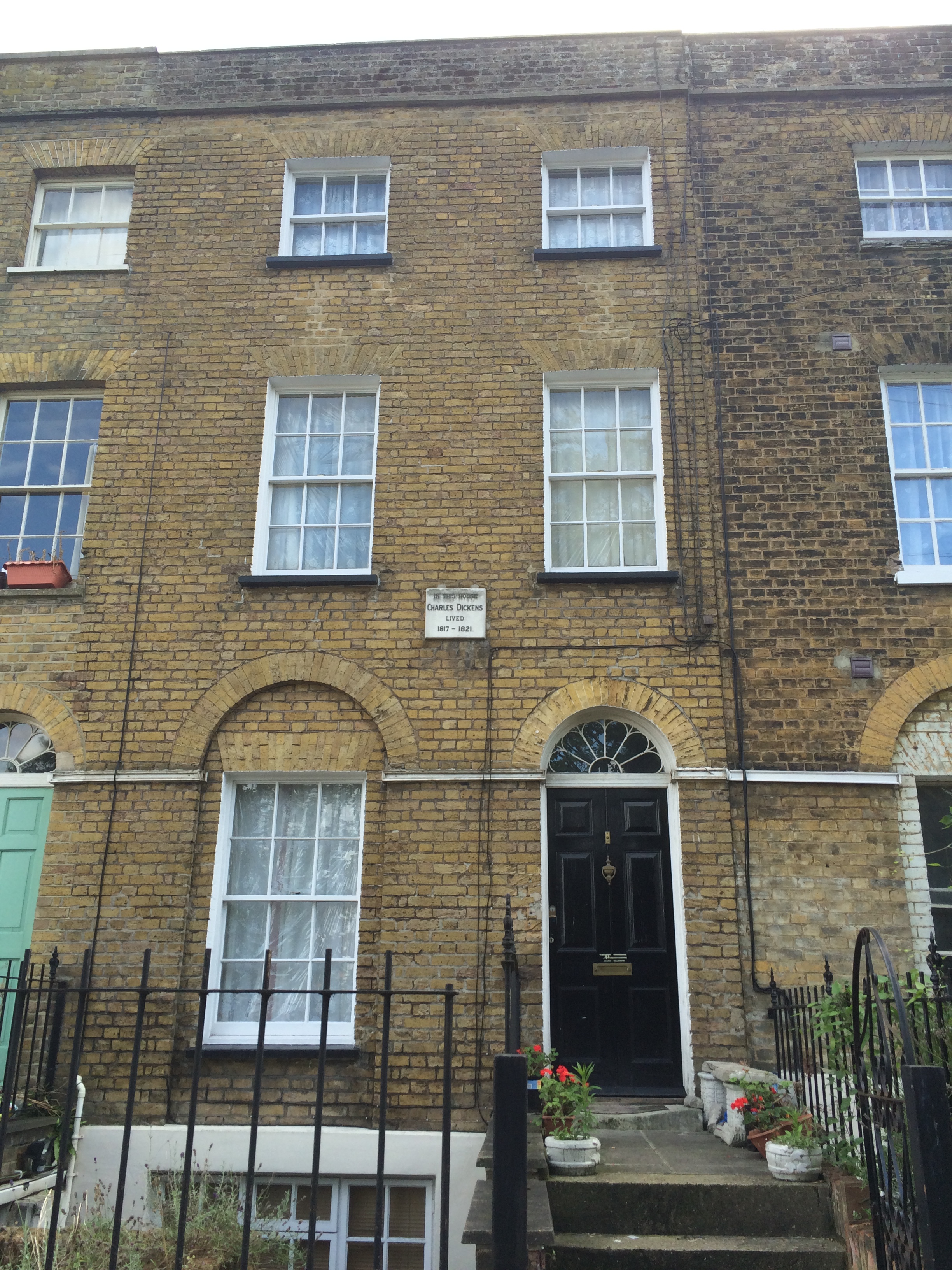
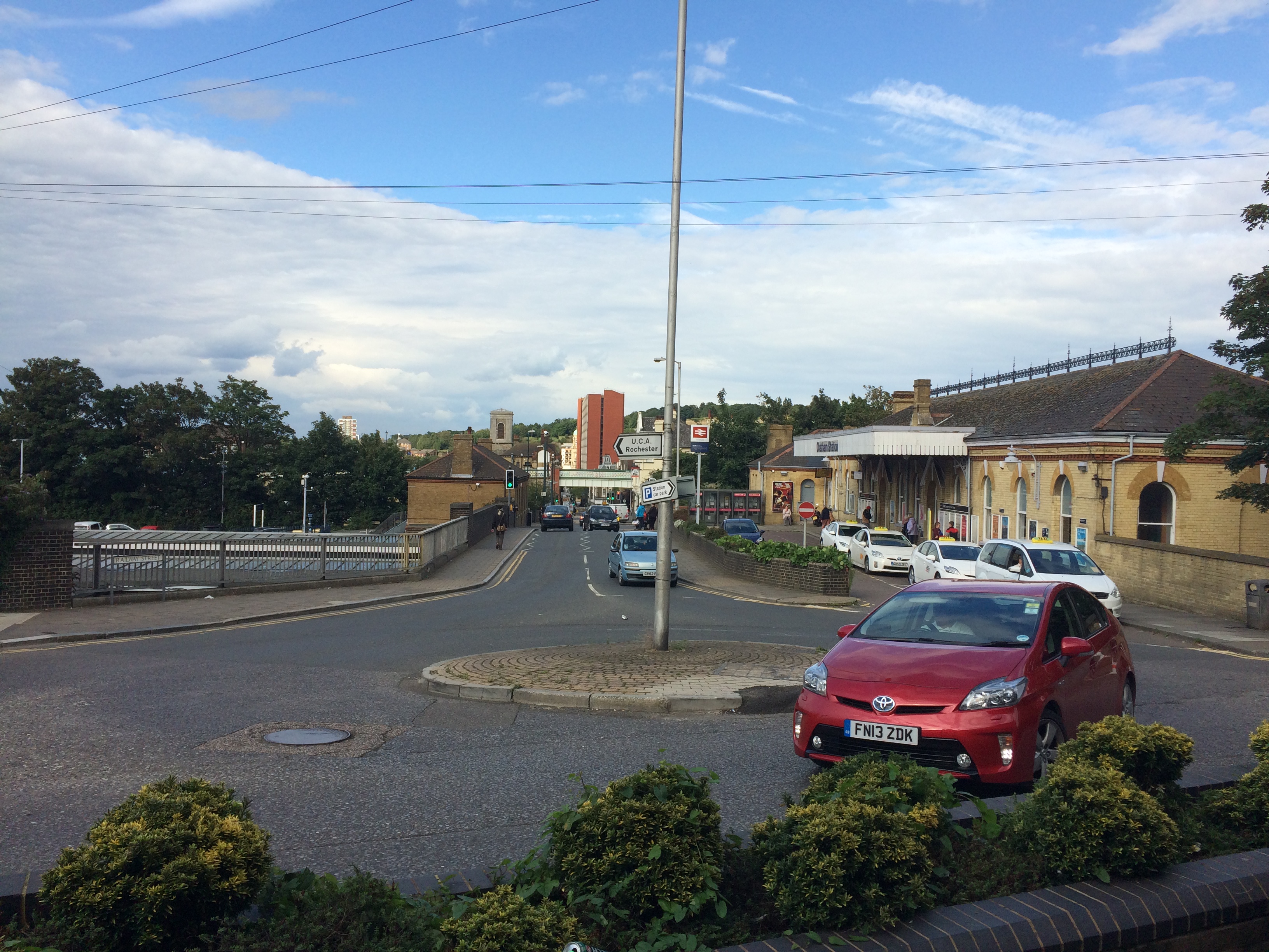
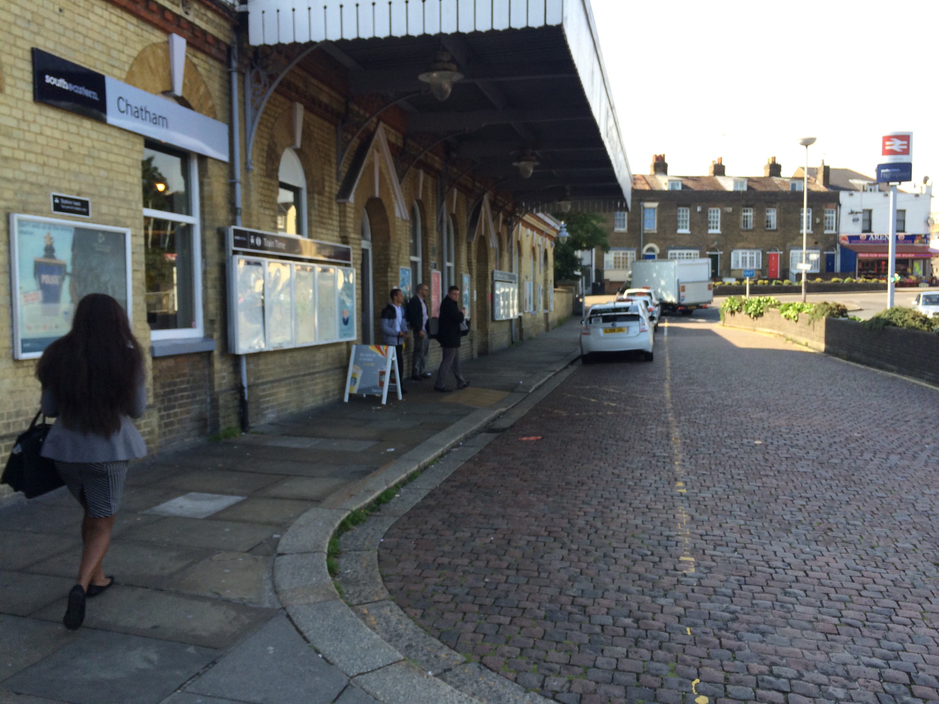
Chatham Railway Station – Image:Christopher TippingA short walk from Chatham Railway Station and in clear view from the station entrance is Ordnance Terrace and the house where Charles Dickens lived for several years as a small boy. Image:Christopher TippingChatham Railway Station and Railway Street looking from Ordnance Terrace. Image:Christopher Tipping
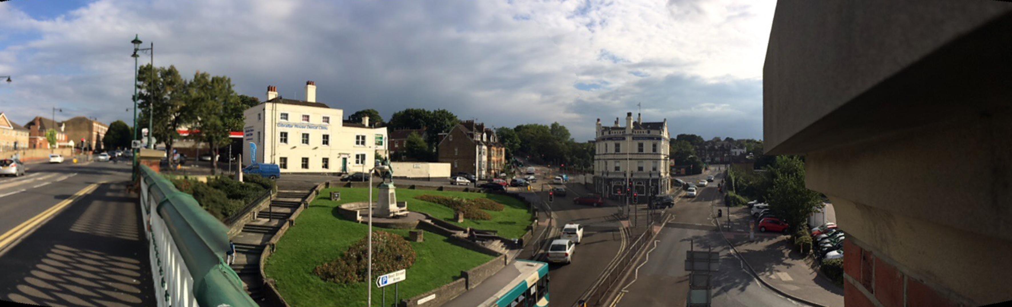
At the centre of the image, the Viaduct with New Road can be clearly seen, as can the tower of St John’s Church and the red brick monolith of Mountbatten House on Military Street, adjacent to the new Bus Station.
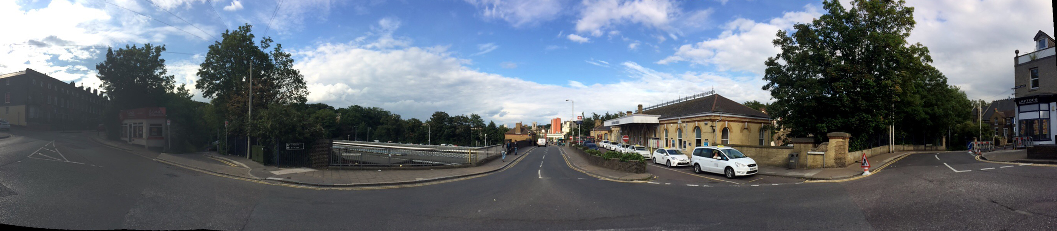
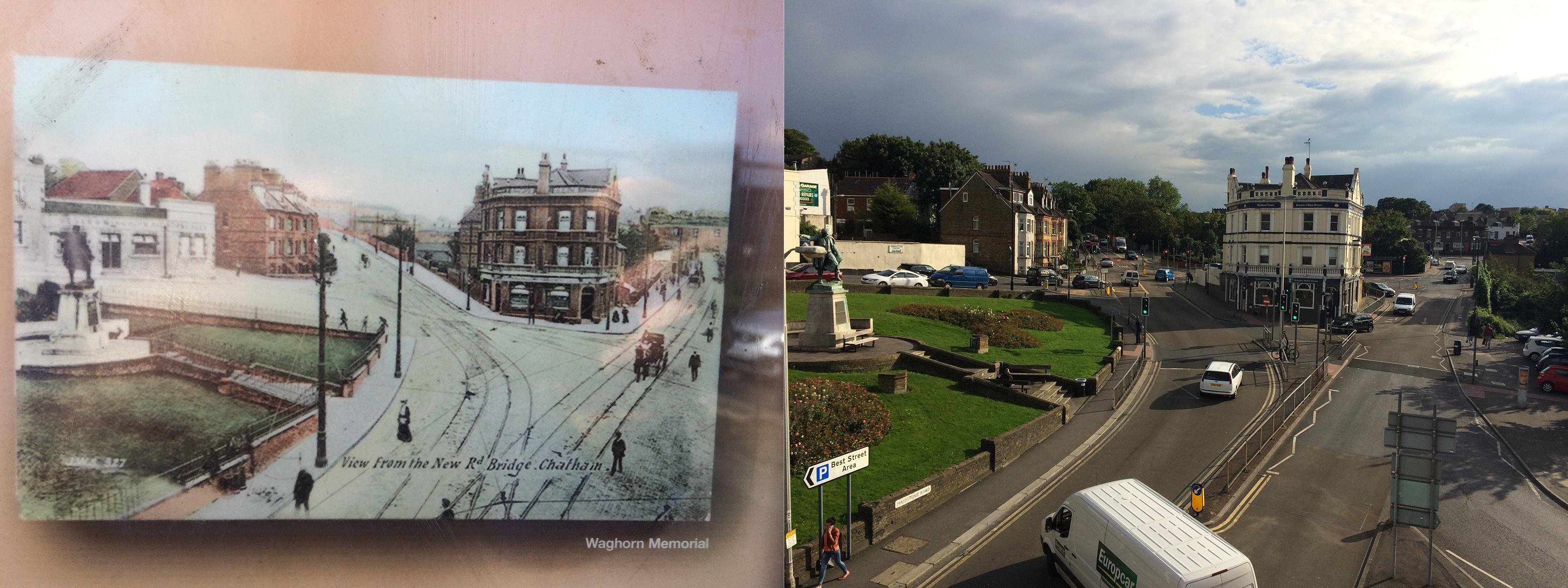
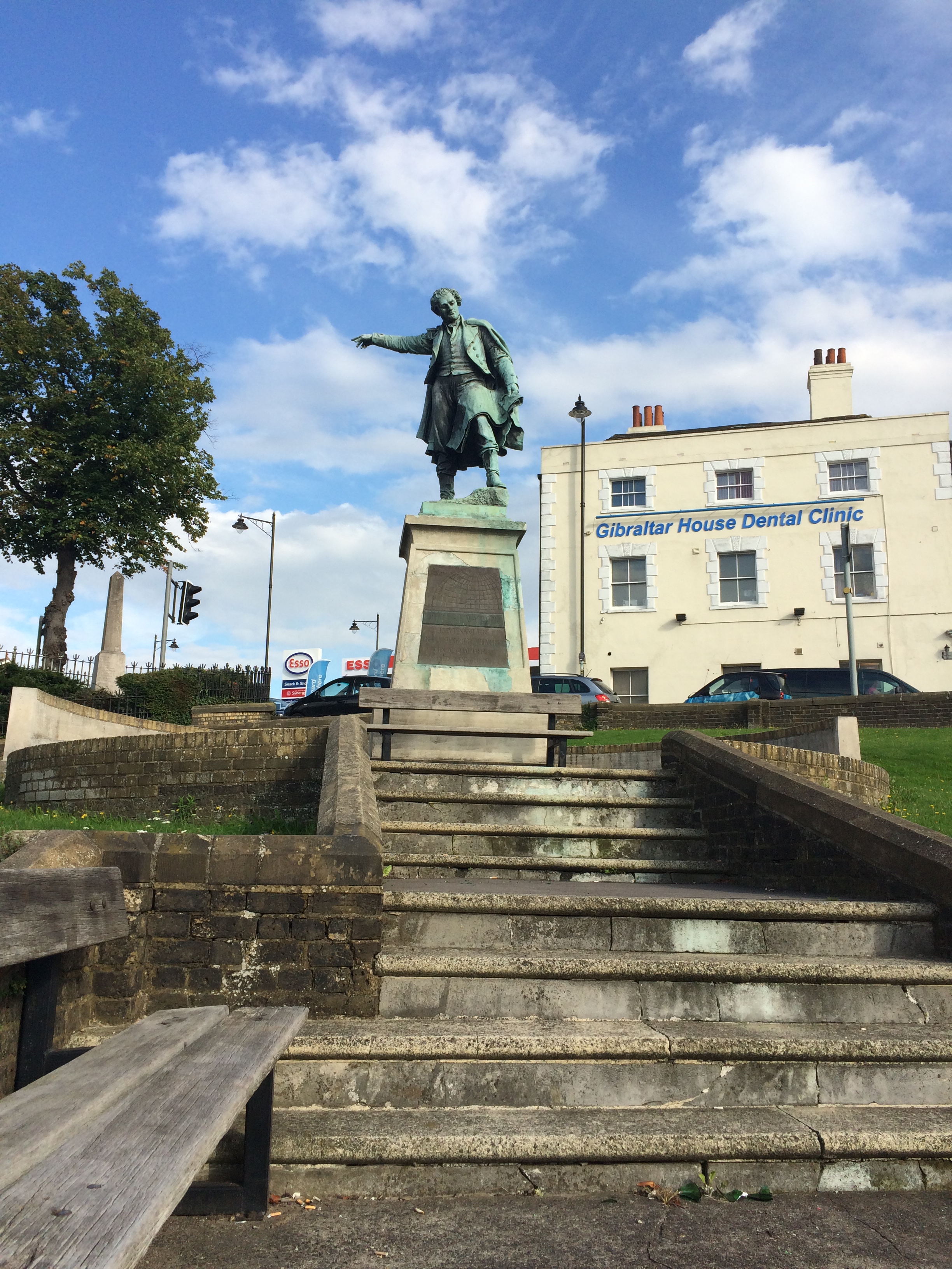
A wide panoramic shot of Chatham Railway Station and Railway Street from Ordnance Terrace. Image:Christopher TippingPedestrians walking up to Chatham Rail Station along Railway Street. Image:Christopher TippingPedestrians walking up to Chatham Rail Station along Railway Street. Image:Christopher TippingThe roads around the Railway Station and Railway Street are heavily trafficked by cars, buses and lorries, making for a poor pedestrian experience. Image:Christopher TippingA view from the Viaduct over Railway Street looking towards the Railway Station and the Alexandra Hotel. The older image is circa 1905. Image:Christopher TippingThe Alexandra Hotel at 53 Railway Street, Chatham has stood on this site for over a Century. Image:Christopher TippingThe statue of Thomas Fletcher Waghorn was raised on Railway Street, Chatham in 1888. Image:Christopher Tipping
“Thomas Fletcher Waghorn (1800–1850), whose statue stands in Chatham, Kent, was a postal pioneer who developed a new route from Great Britain to India. Waghorn’s route reduced the journey from 16,000 miles, via the Cape of Good Hope to 6,000 miles: from three months to between 35 and 45 days.Waghorn was born in Chatham, England, and baptised at St Mary’s Church on 16 July 1800″. Wikipedia
Interestingly, Thomas appears to be pointing the way to the Town Centre and Waterfront to pedestrians coming down from the Rail Station. Good man ! –
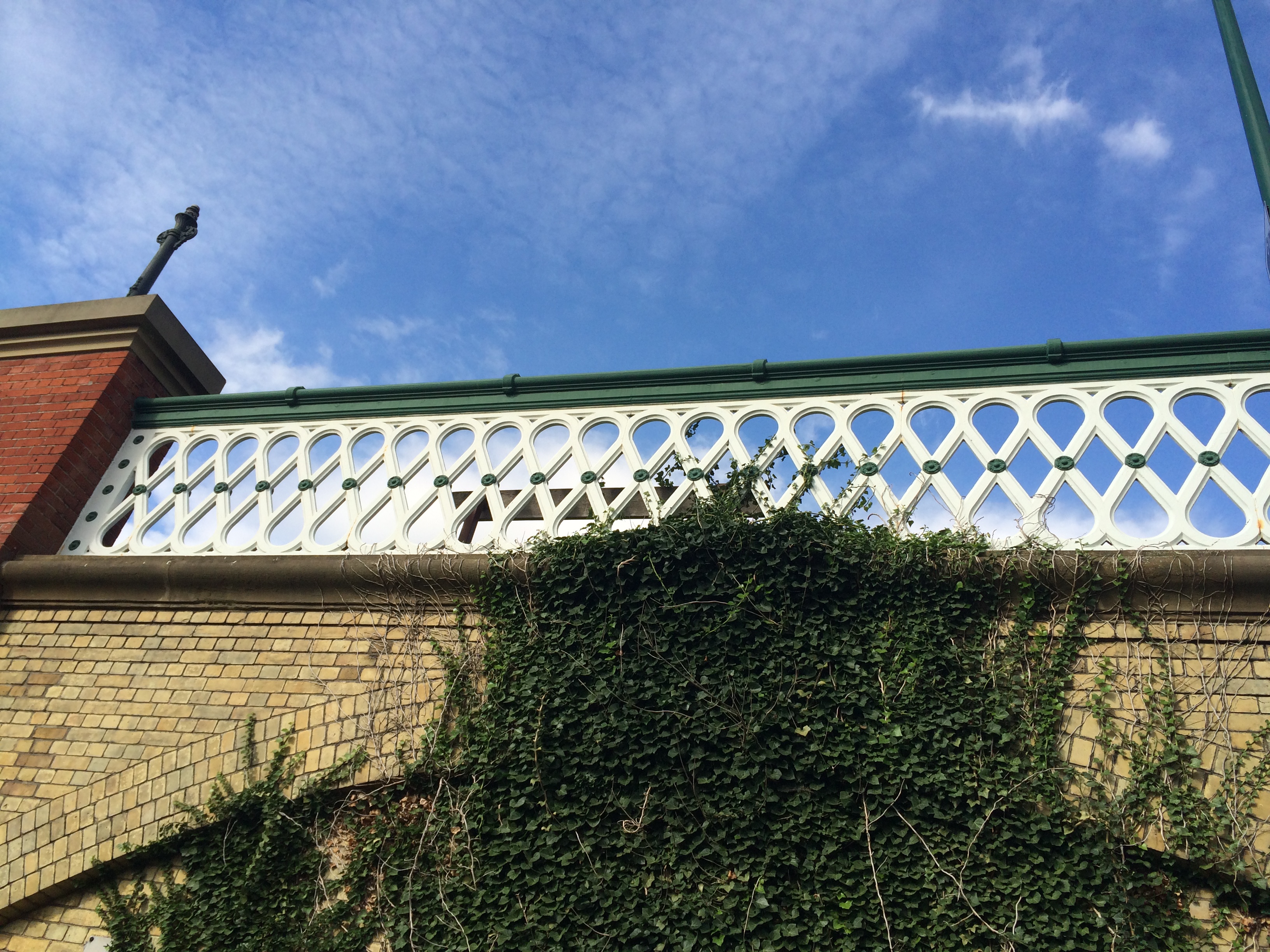
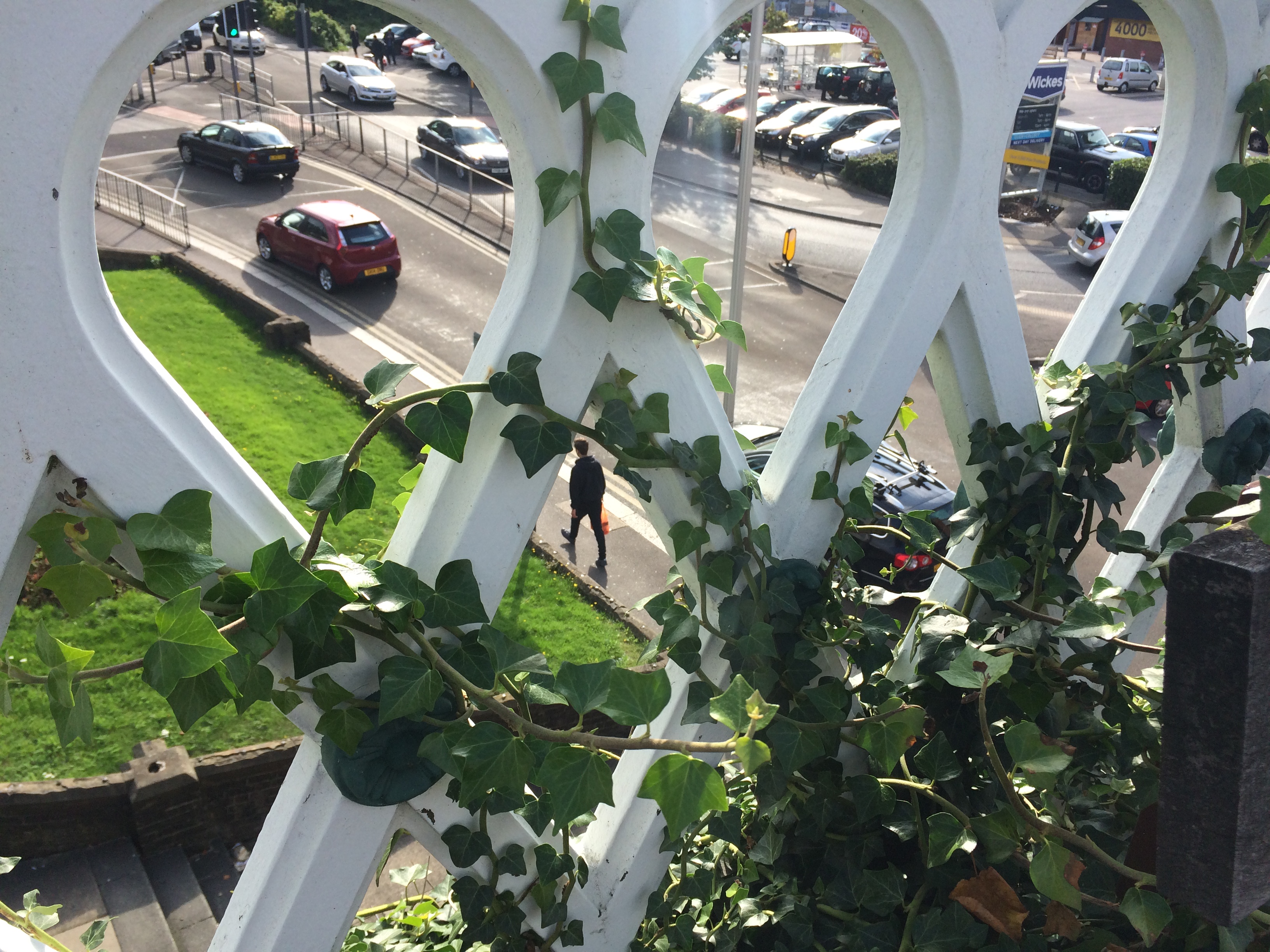
The Viaduct over Railway Street, Chatham, with detailed ironwork balustrade. Image: Christopher TippingA view from the Viaduct over Railway Street, Chatham, with a detailed view through the ironwork balustrade. Image: Christopher Tipping
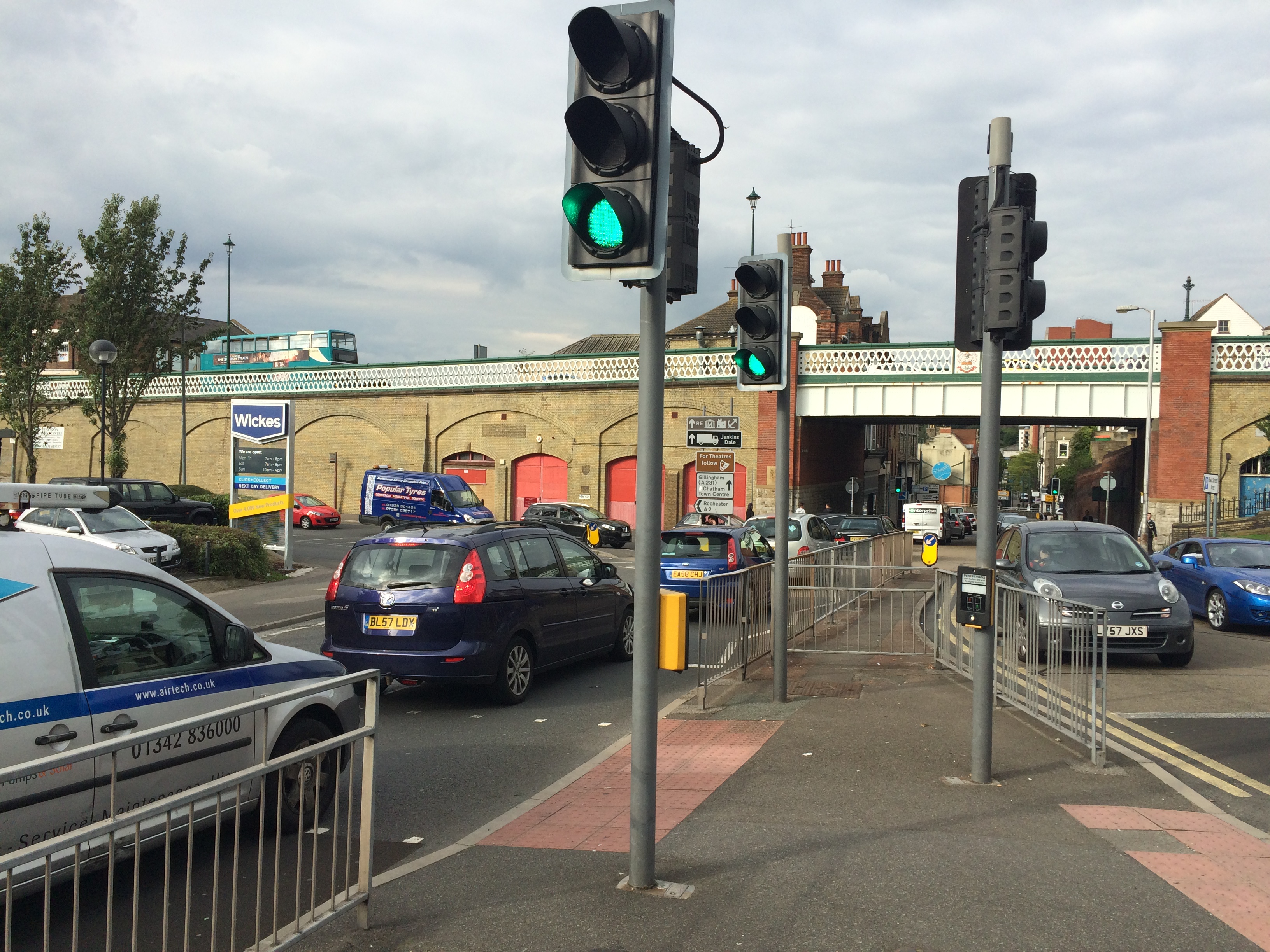
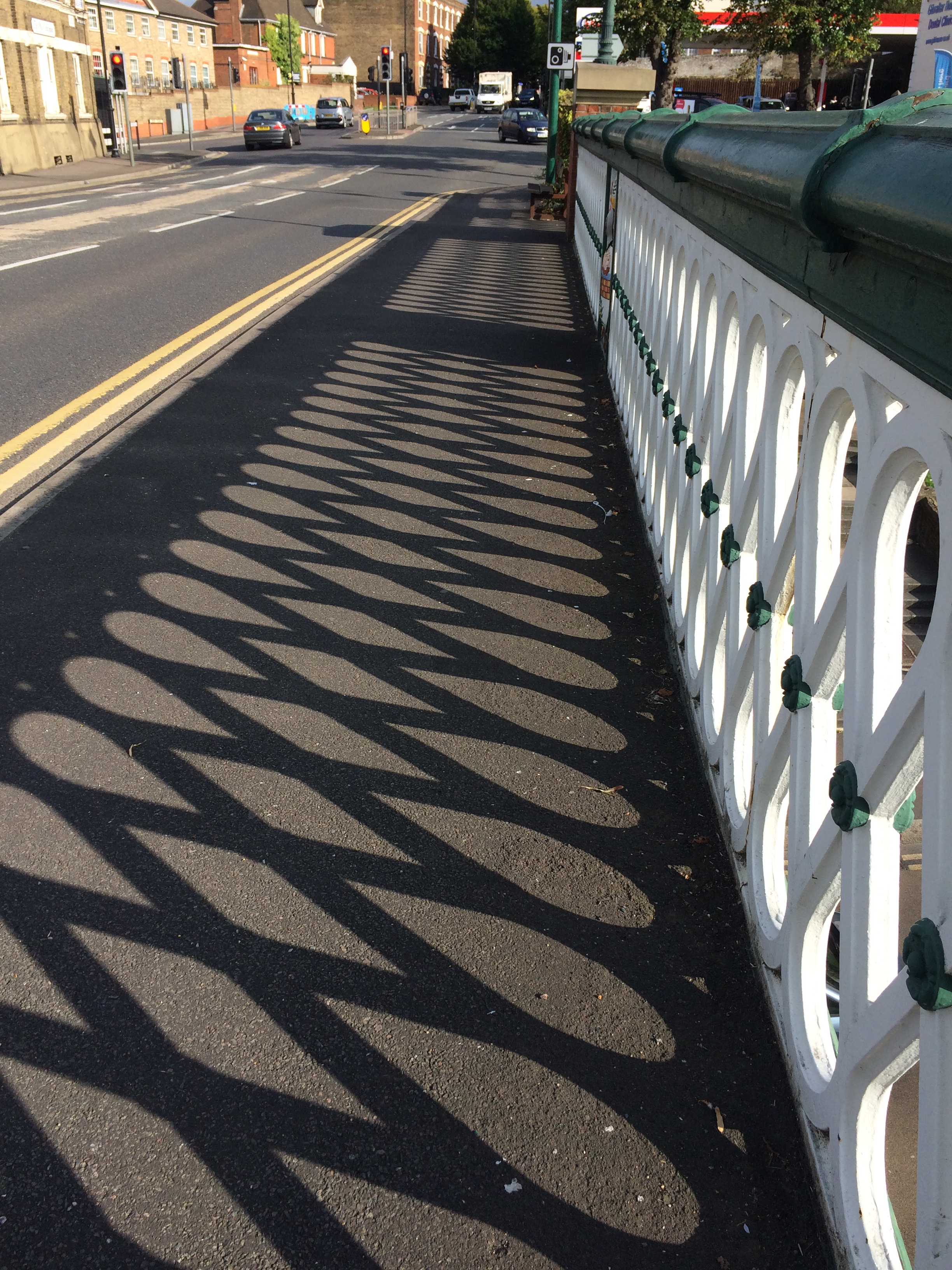
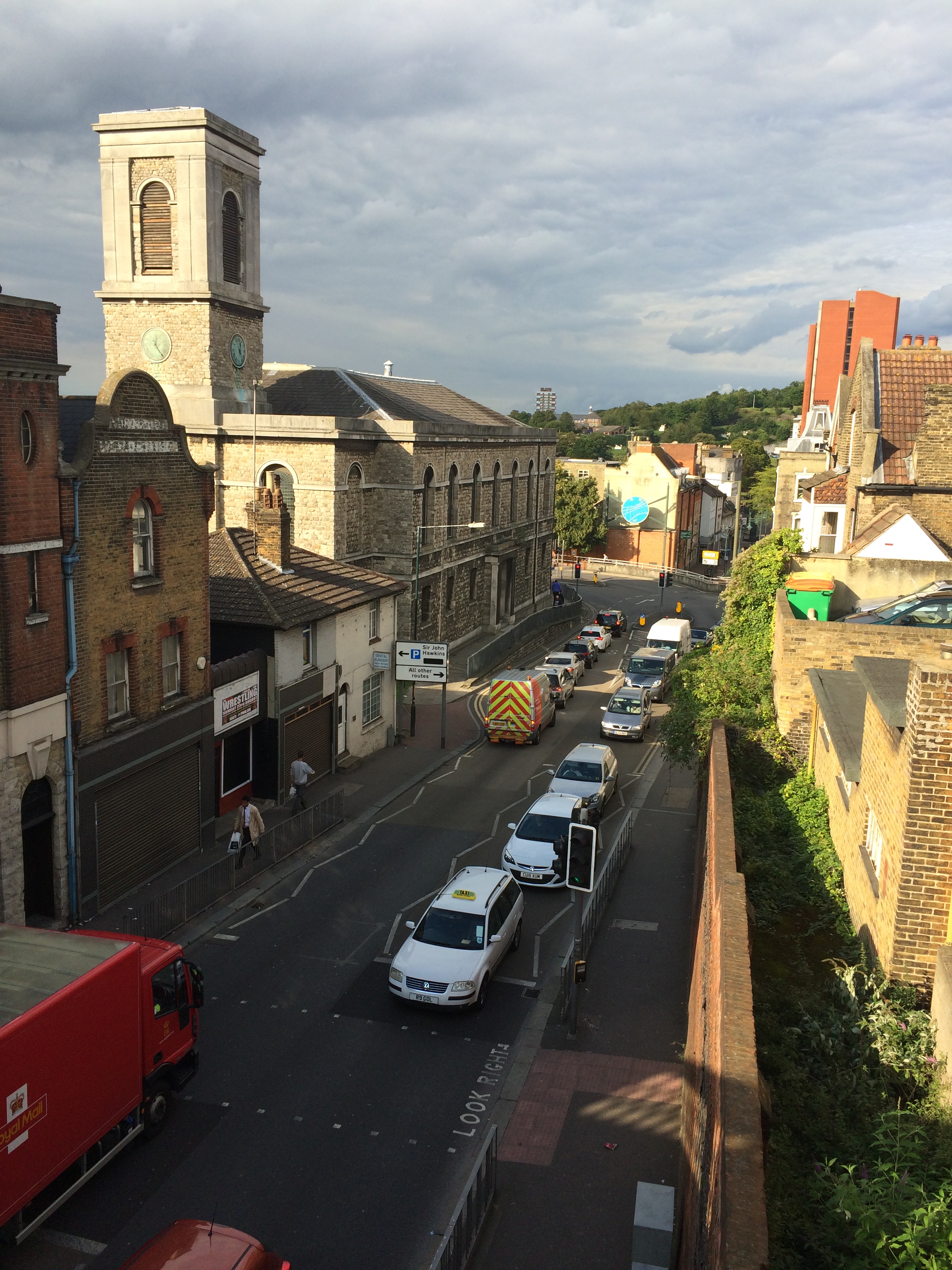
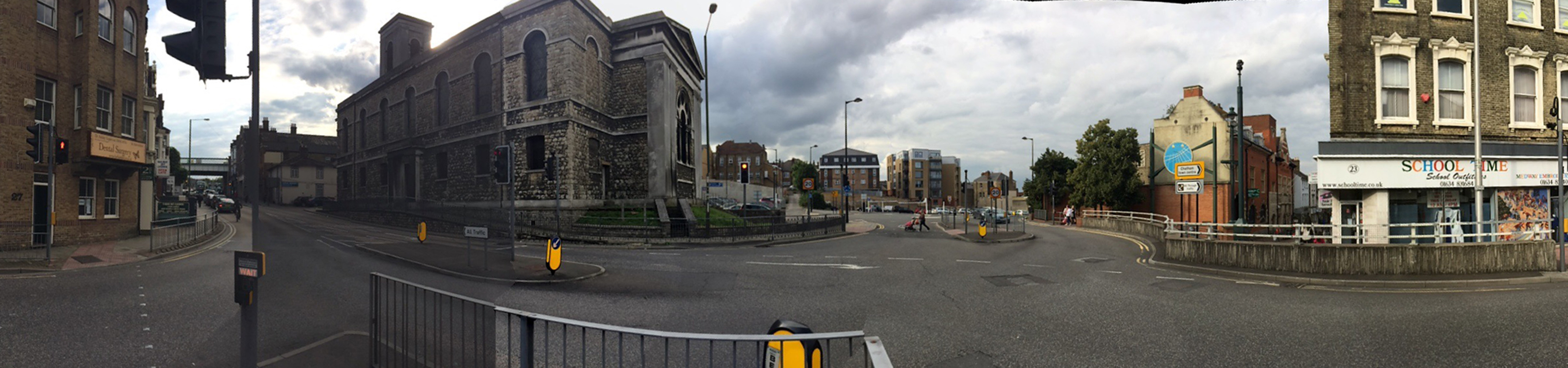
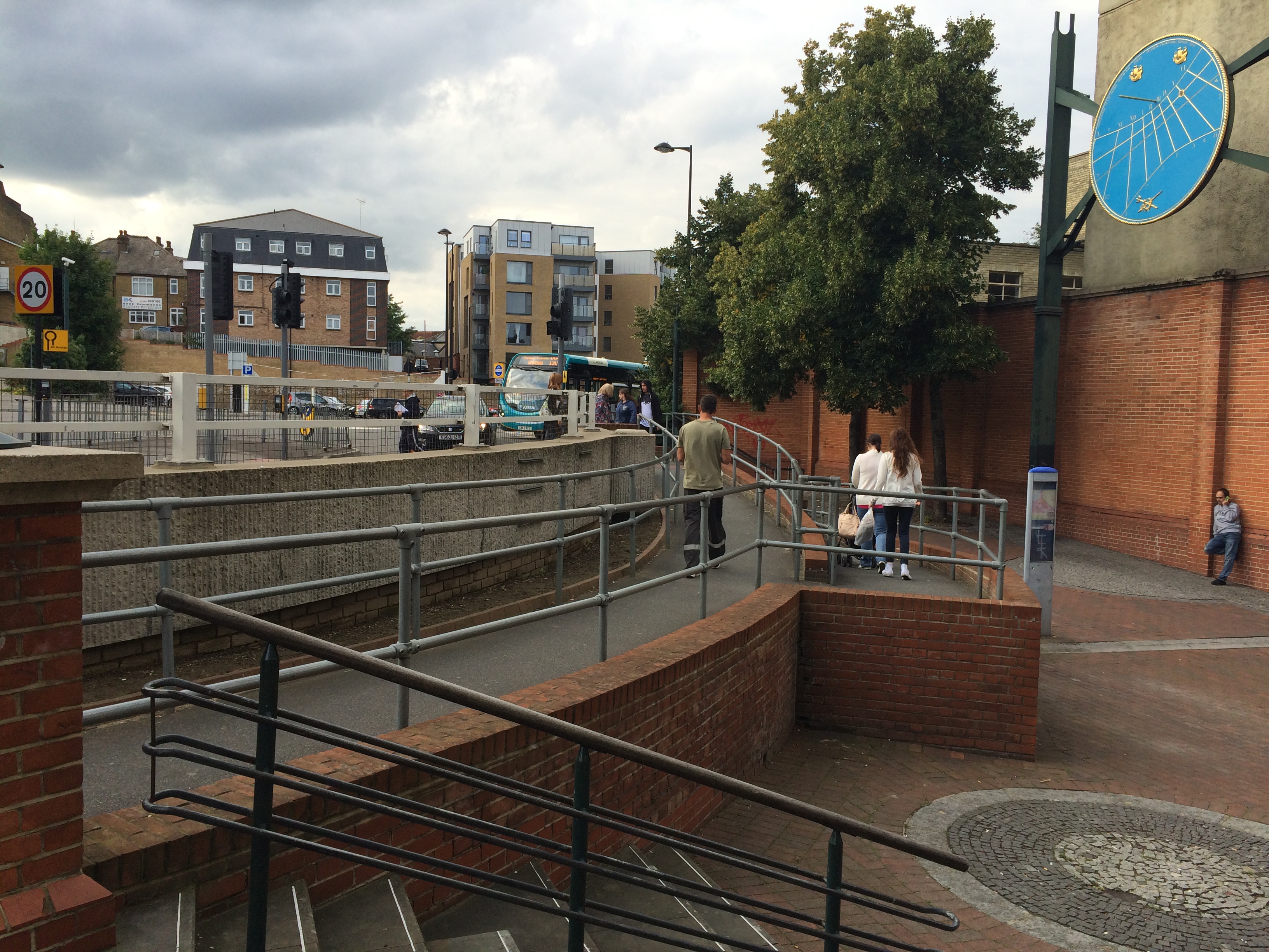
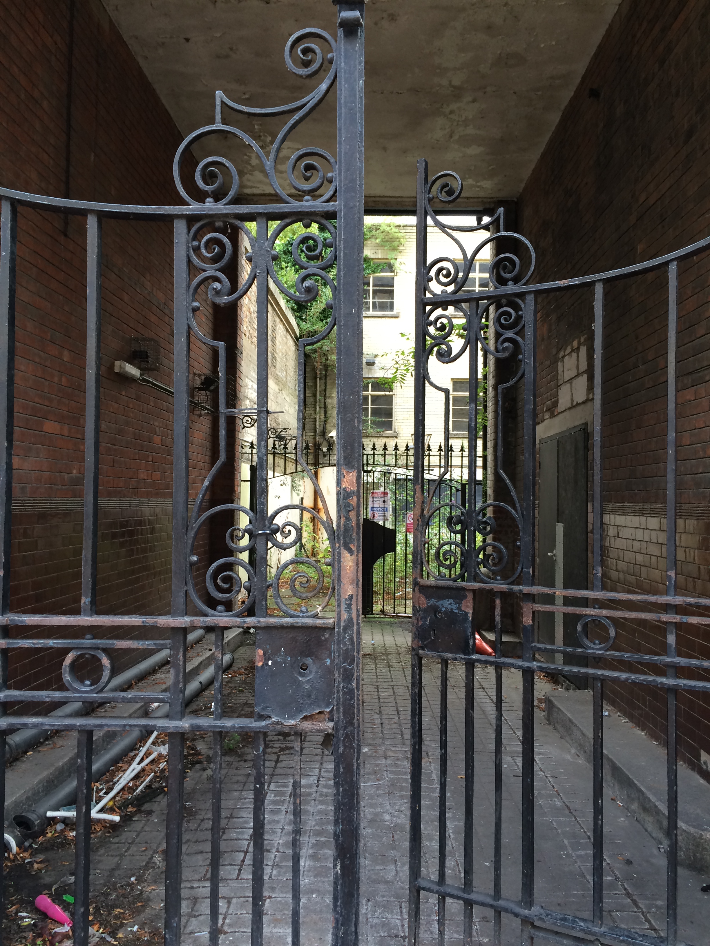
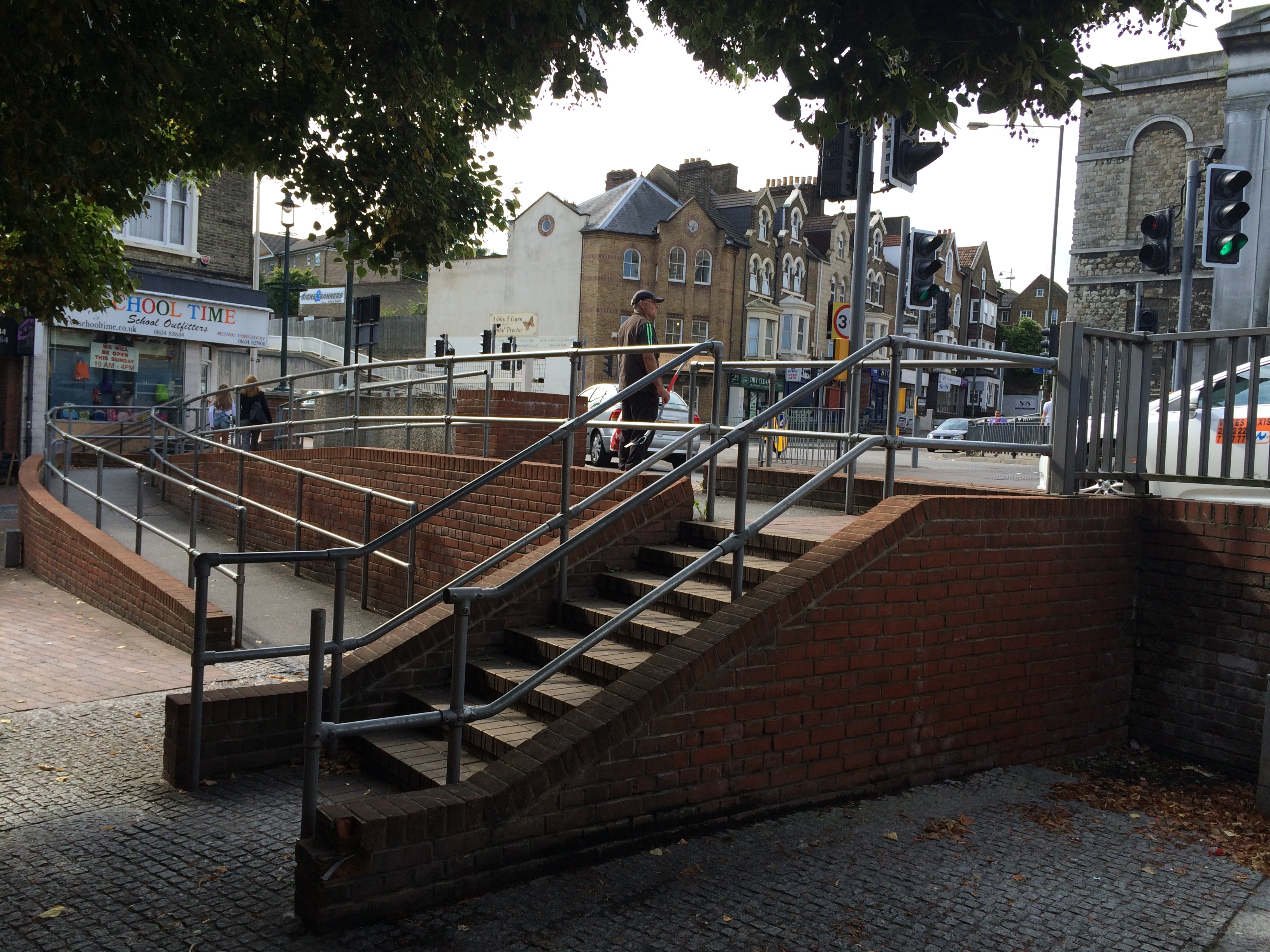
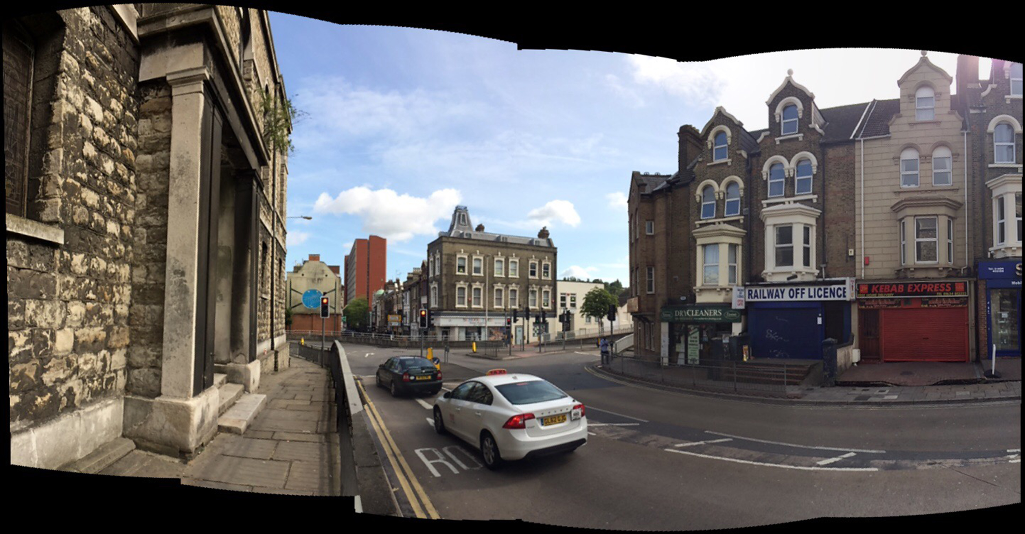
Shadows cast by the cast iron balustrade of the Viaduct over Railway Street, Chatham. Image: Christopher TippingA panoramic view of Gibralter Hill and Railway Street, Chatham, looking up to wards the Railway Station. Image:Christopher TippingOn the New Road Viaduct over Railway Street, Chatham, looking to wards the Waterfront. Image:Christopher TippingOn the New Road Viaduct over Railway Street, Chatham, looking down Railway Street towards St John’s Church on the left and the Town Centre. Image:Christopher TippingA view from the New Road Viaduct over Railway Street, Chatham, looking down towards St John’s Church and the Town Centre. Image:Christopher TippingThe junction of Waterfront Way with the A2 at St John’s Church, Chatham, where the highway has been punched through Railway Street, creates a hostile zone for pedestrians and effectively cuts off the lower part of Railway Street and the Town Centre, from the upper section and the Railway Station. Image:Christopher TippingWhere Railway Street is dissected by the A2 by St Joh’s Church in Chatham, pedestrians have to navigate a complex & carbuncle-like step/ramp/concrete barrier arrangement to gain access to and from lower Railway Street and the retail centre of the town. Image:Christopher TippingWrought iron gates remain intact at the courtyard entrance to the old Post Office Building on lower Railway Street, Chatham. The building is a handsome addition to the fabric of the street, but is currently empty. Image:Christopher TippingThe retail units along the lower section of Railway Street, Chatham, appear busy and animated. The streetscape is abruptly interrupted and stifled by the A2 cutting and awkward steps, ramps and concrete wall. Image:Christopher Tipping
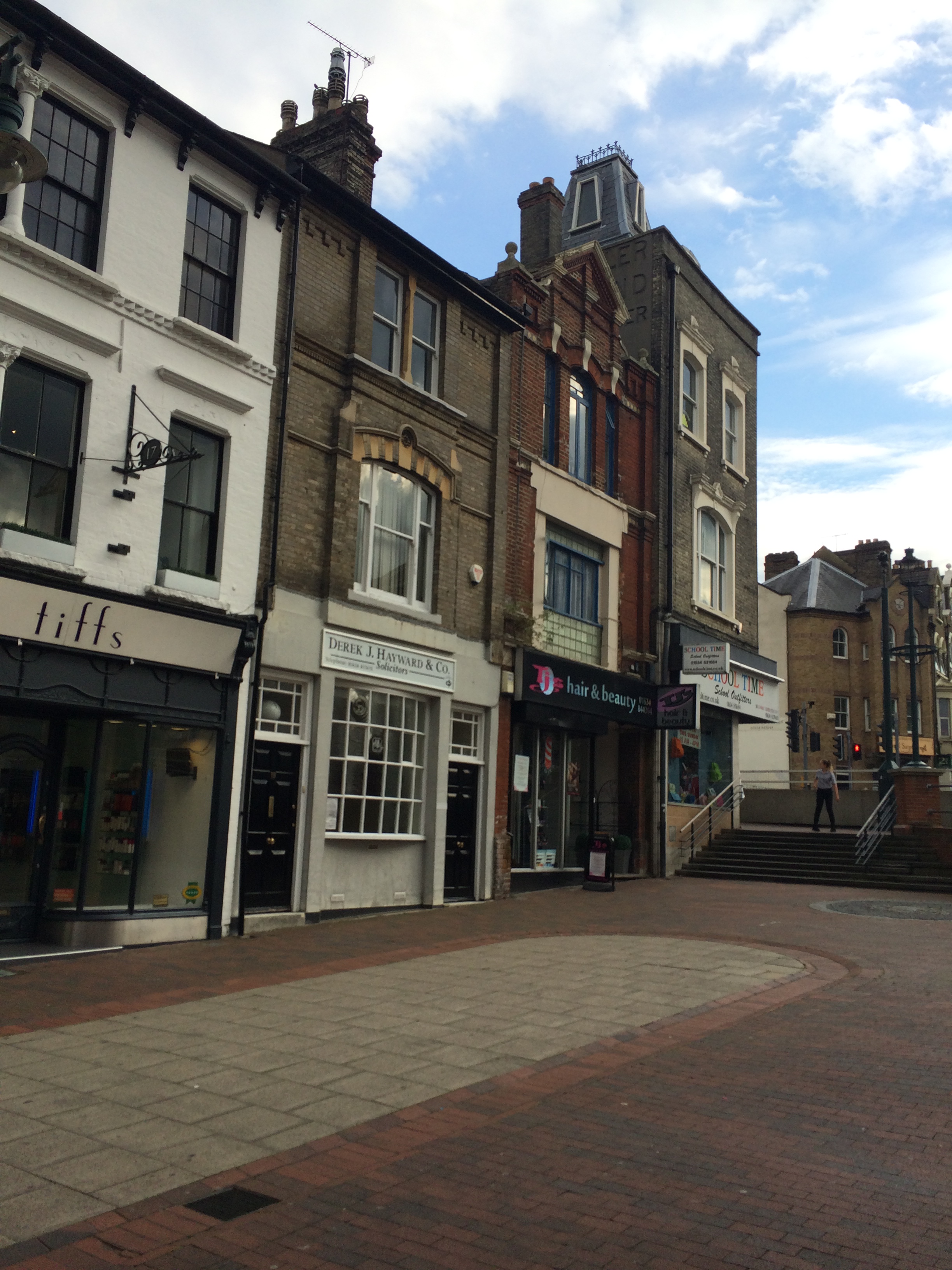
Architectural text and detailing on the upper stories of extant buildings along Railway Street, provide clues to the rich legacy of activity and usage in the area.
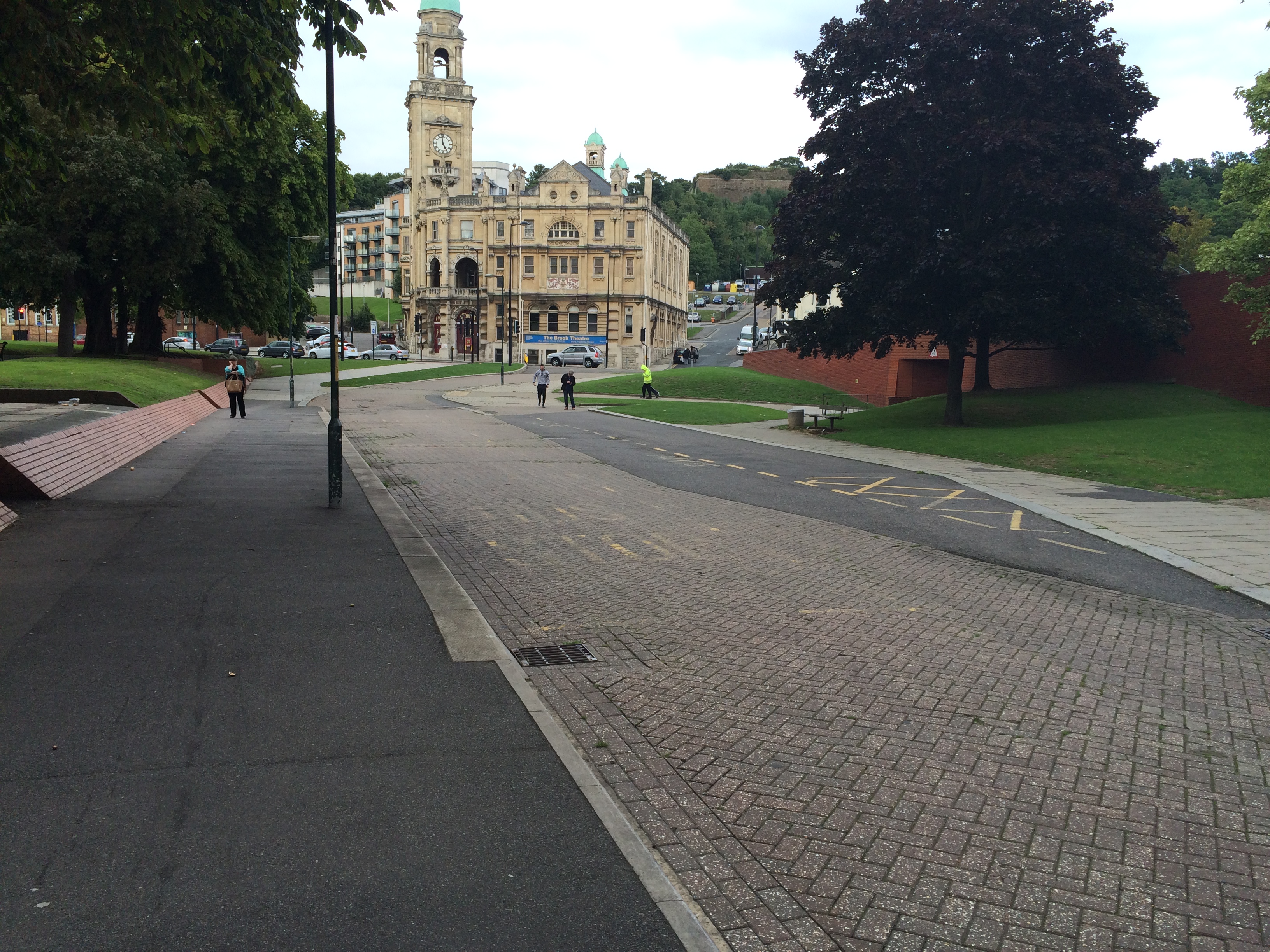
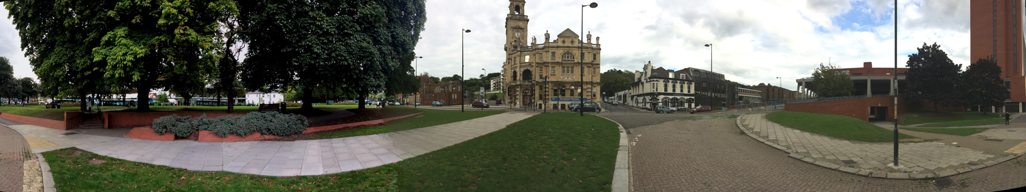
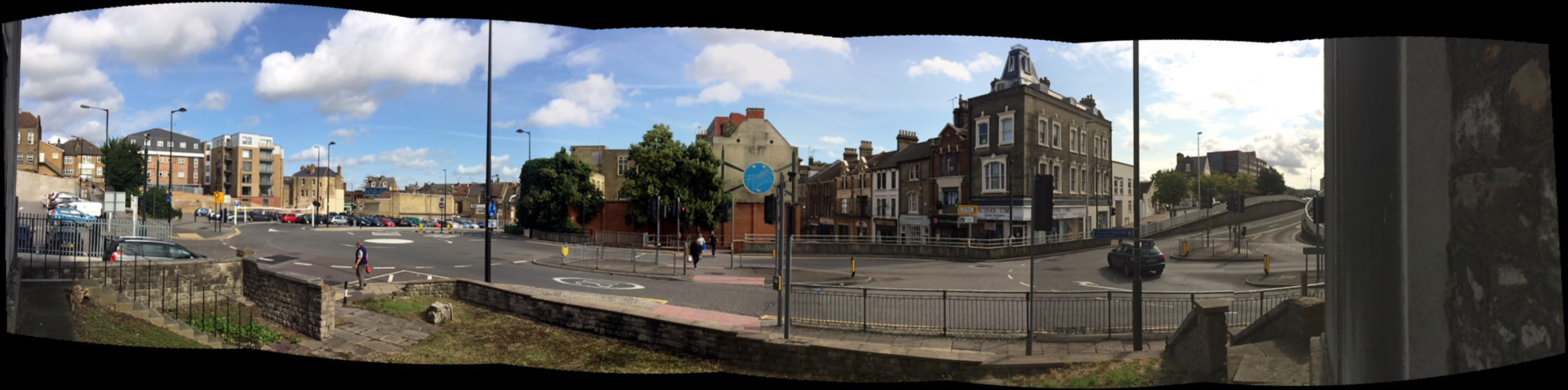
The lower section of Military Road, Chatham ought to be a highly activated, fluid, dynamic and versatile public space with the Brook Theatre as the anchor building and focus. Unfortunately the space is a dead zone, underused and slightly unsettling. Image:Christopher TippingA panoramic image of the lower section of Military Road, Chatham, which ought to be a highly activated, fluid, dynamic and versatile public space with the Brook Theatre as the anchor building and focus along with the adjacent Bus Station. Unfortunately the space is something of a dead zone, underused and slightly unsettling. Image:Christopher Tipping
A long day of walking streets in Chatham, trying to understand how it all works – I finally made my way along Dock Rd, past Medway Councilbuildings at Gun Wharfand St Mary’s Church, where Pepys and Dickens both worshipped; past Fort Amherst – to The Historic Dockyard.
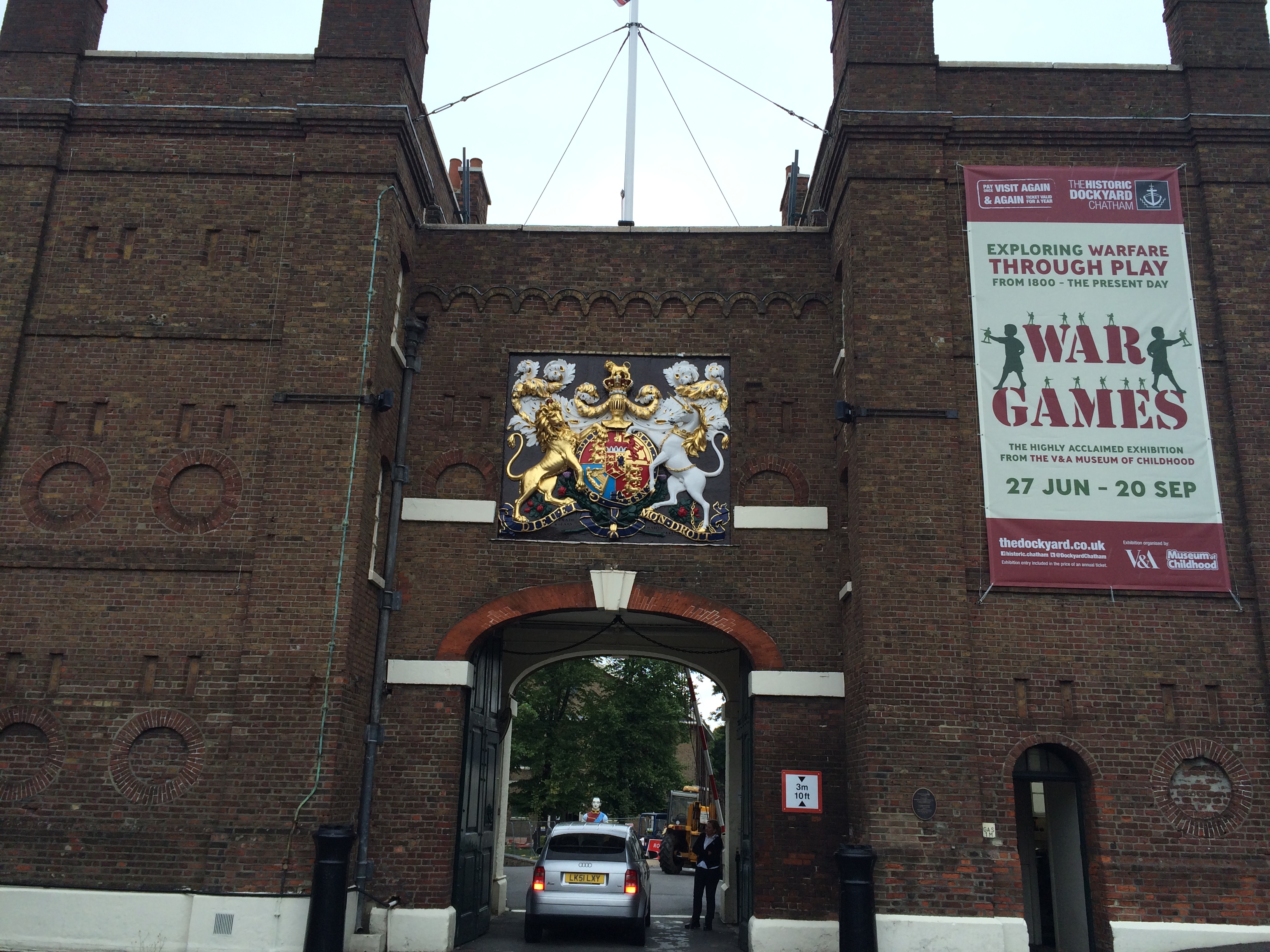
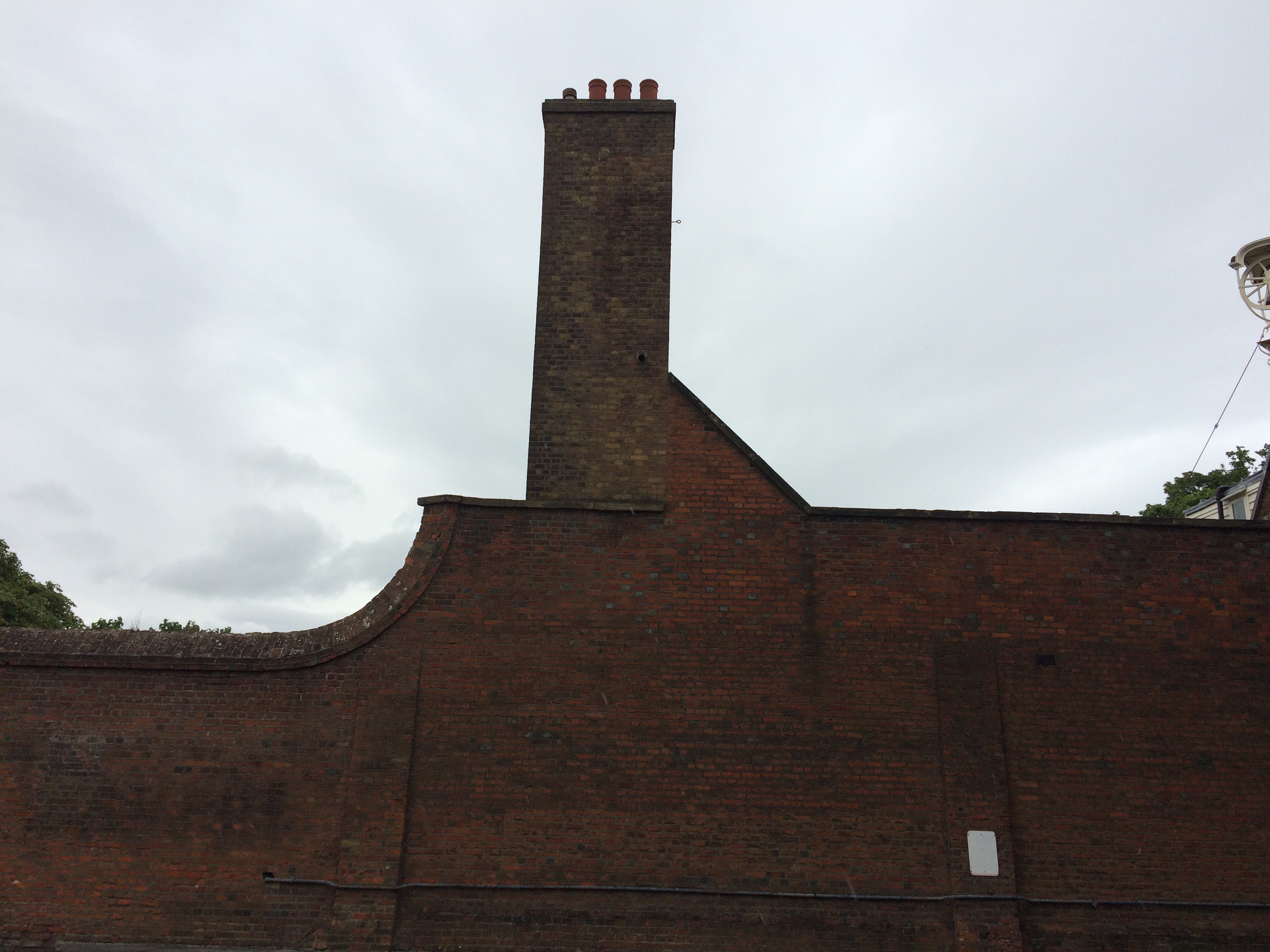
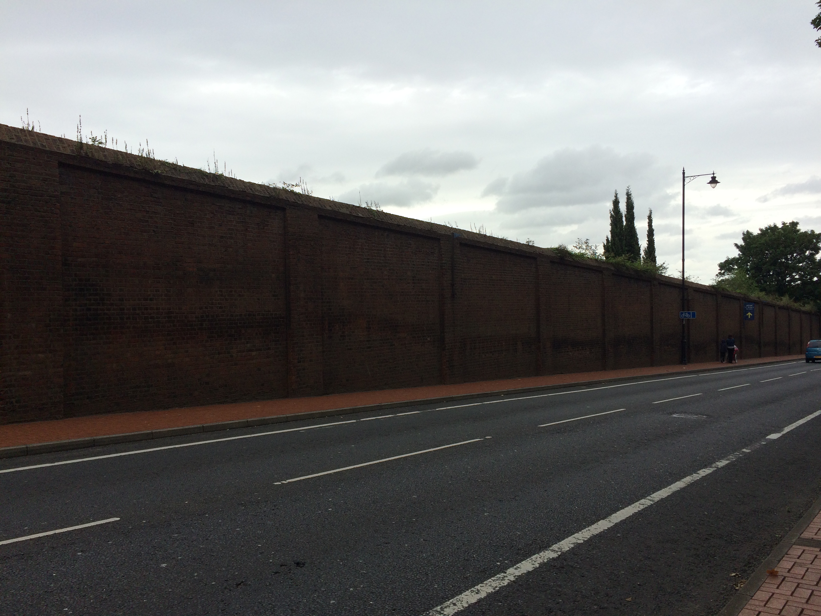
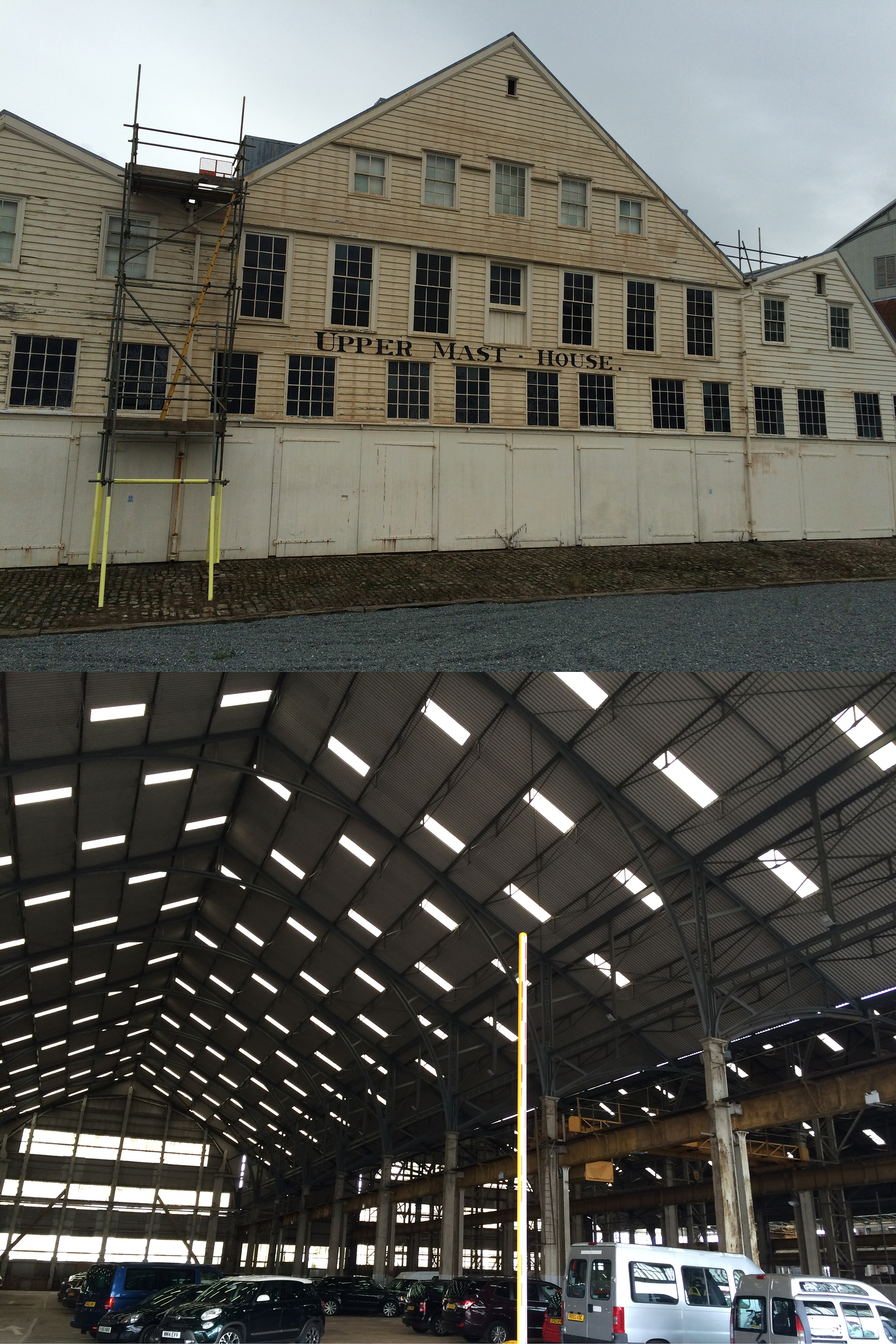
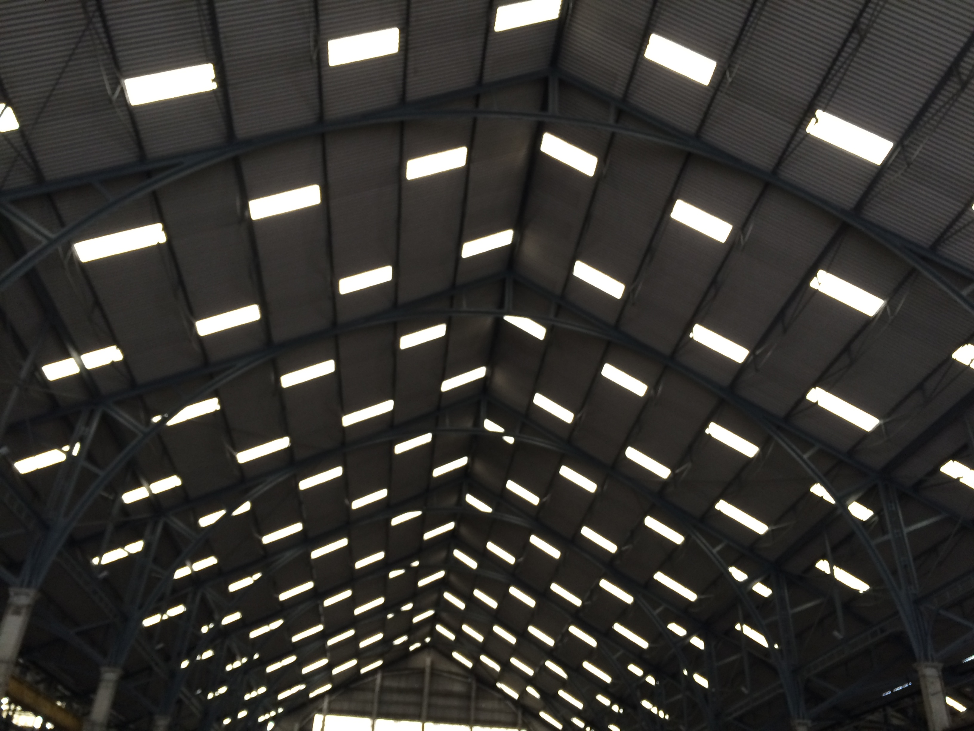
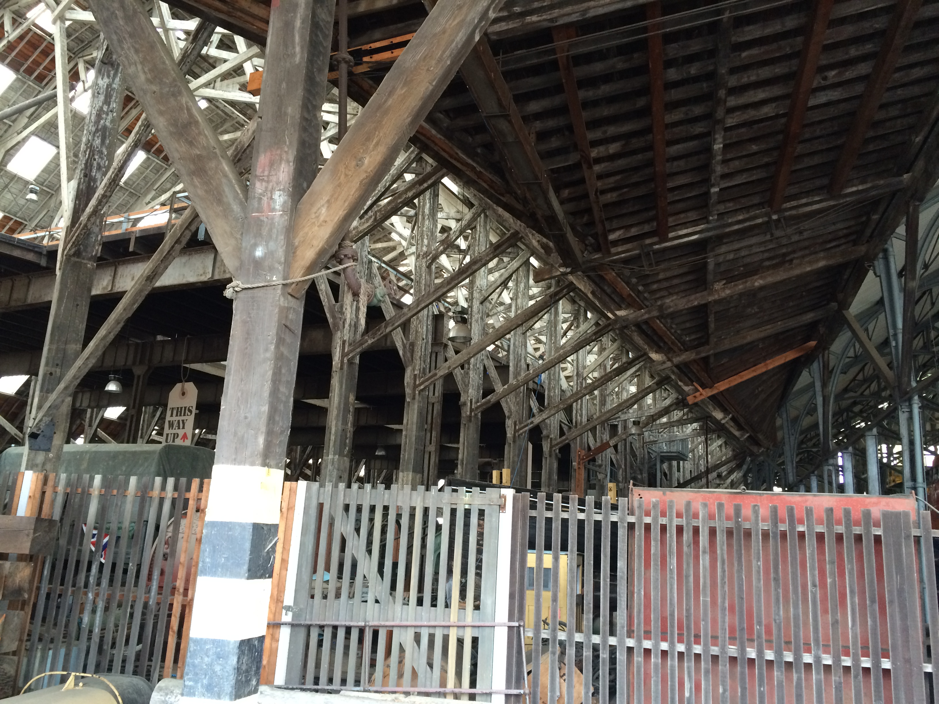
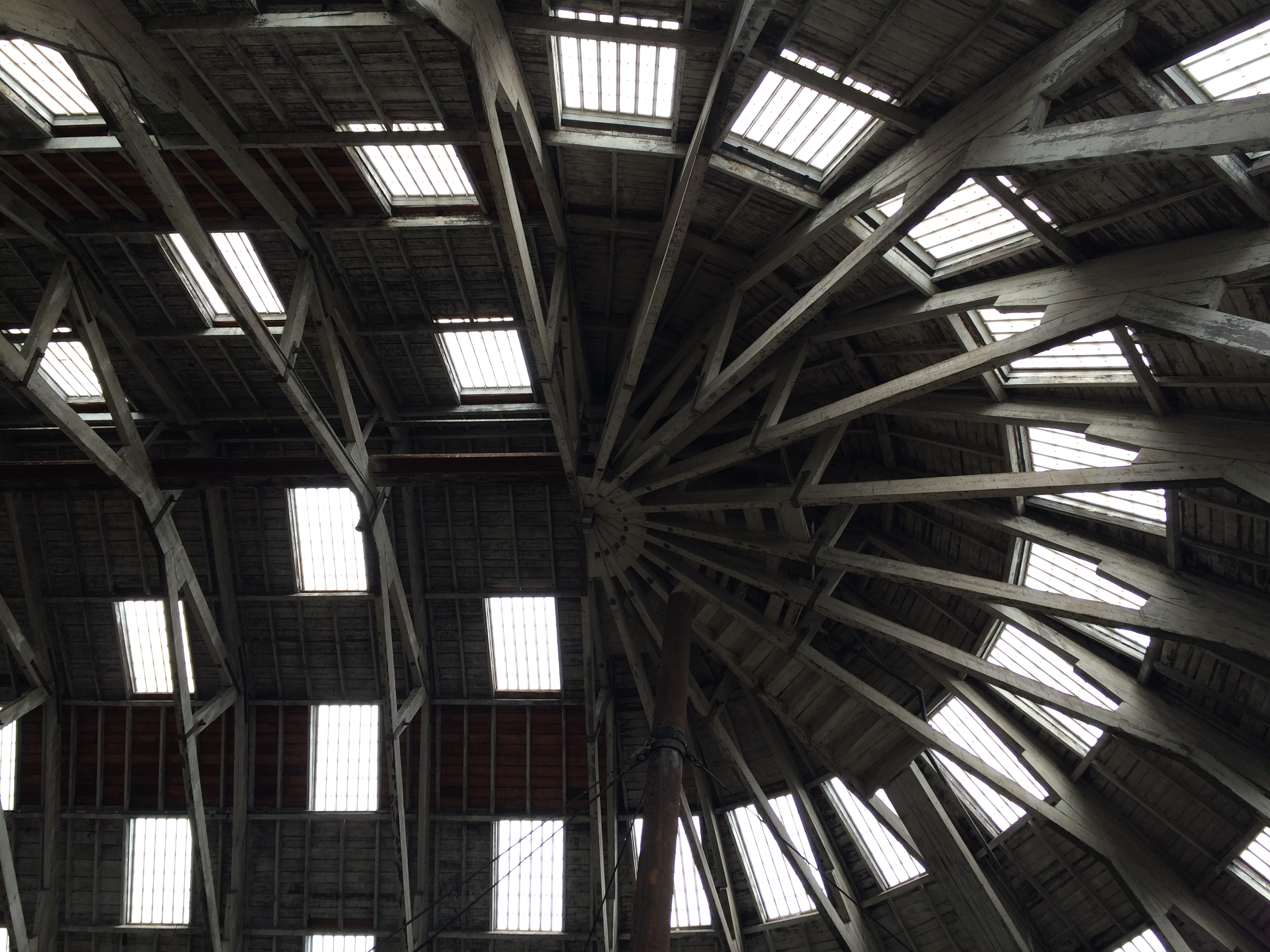
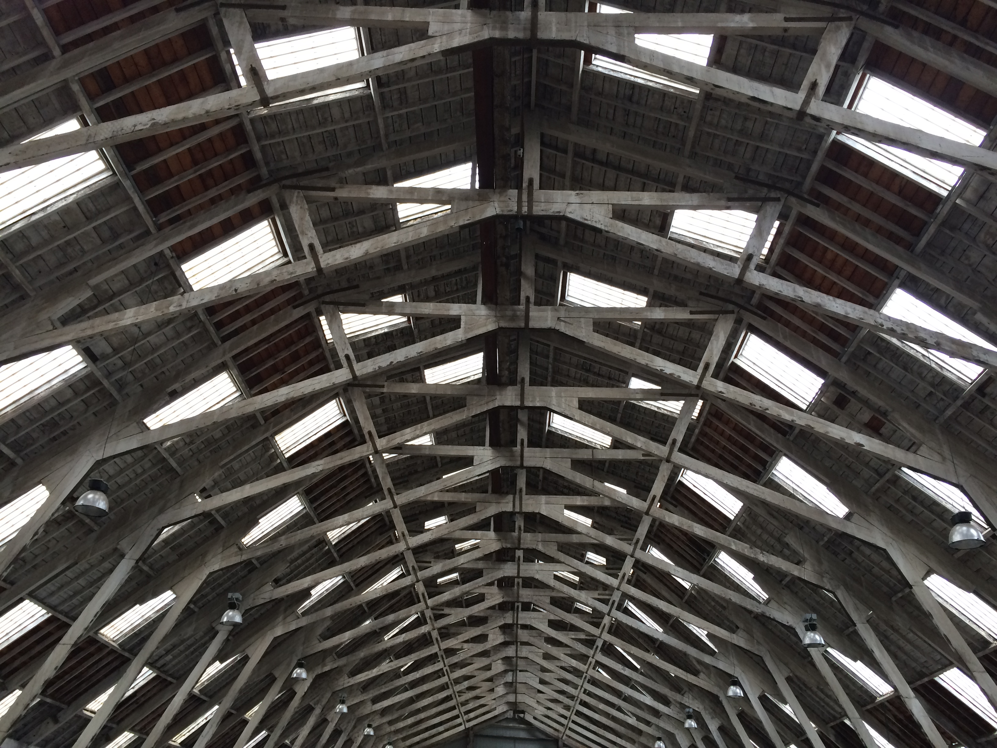
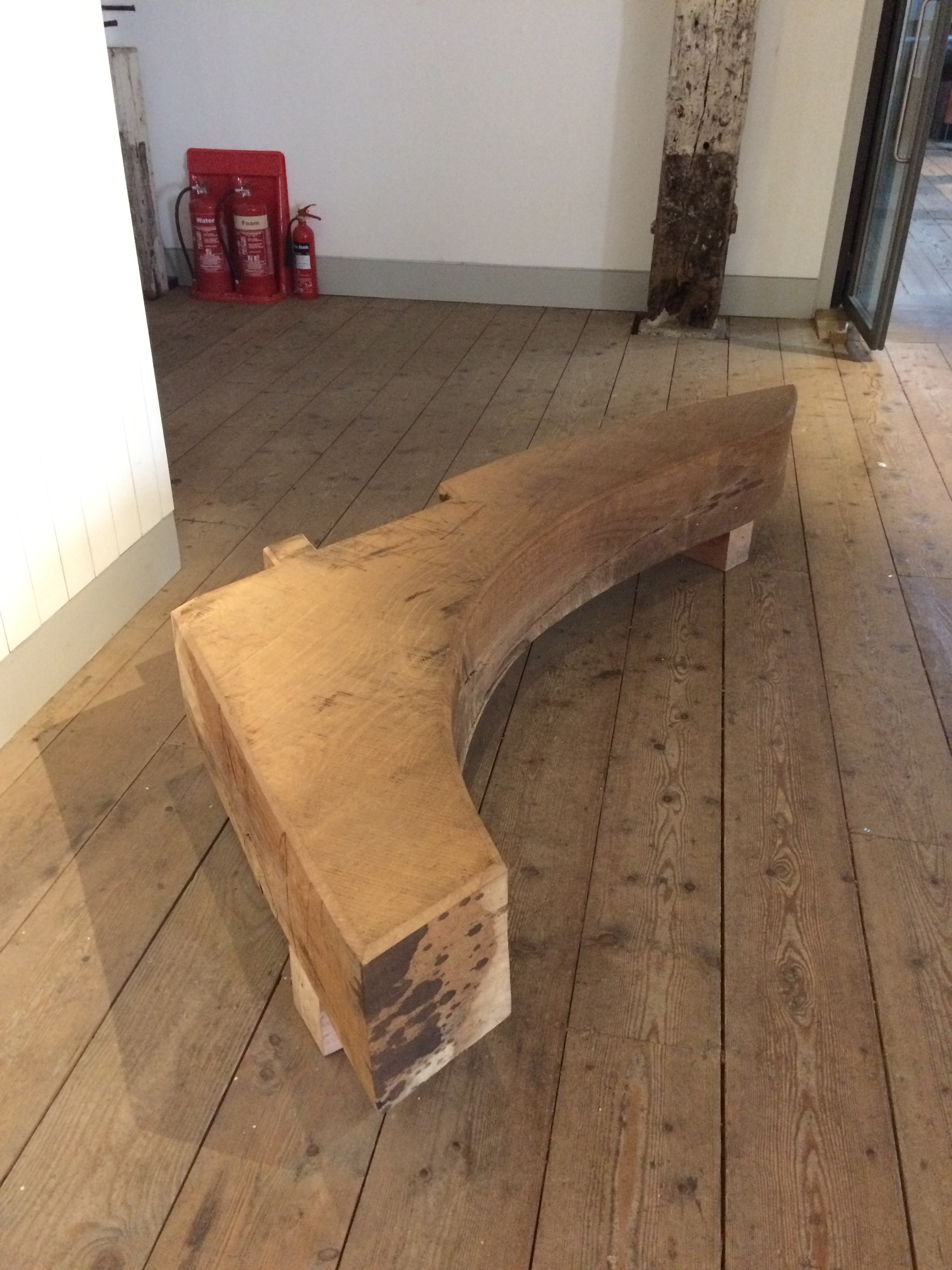
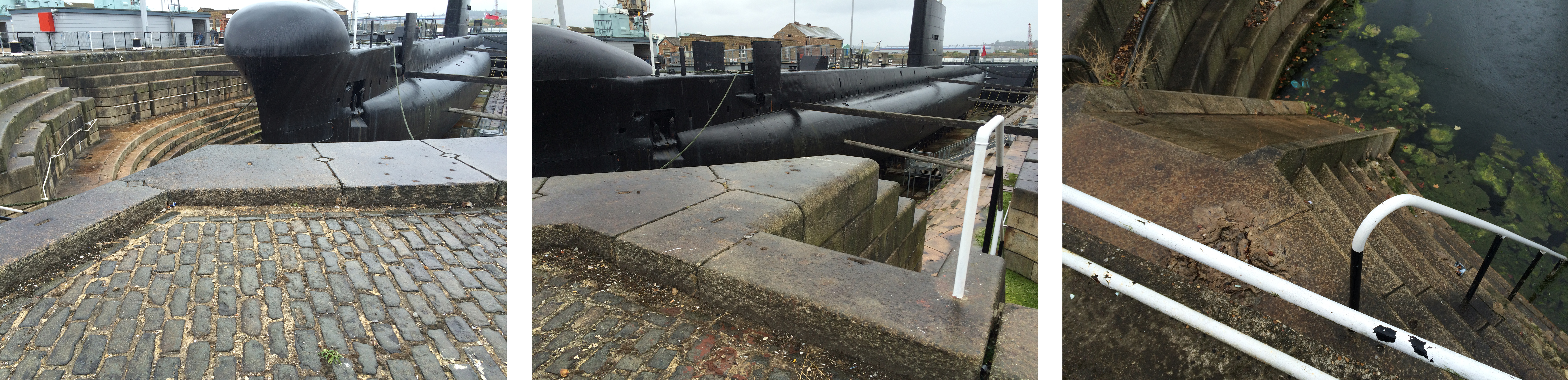
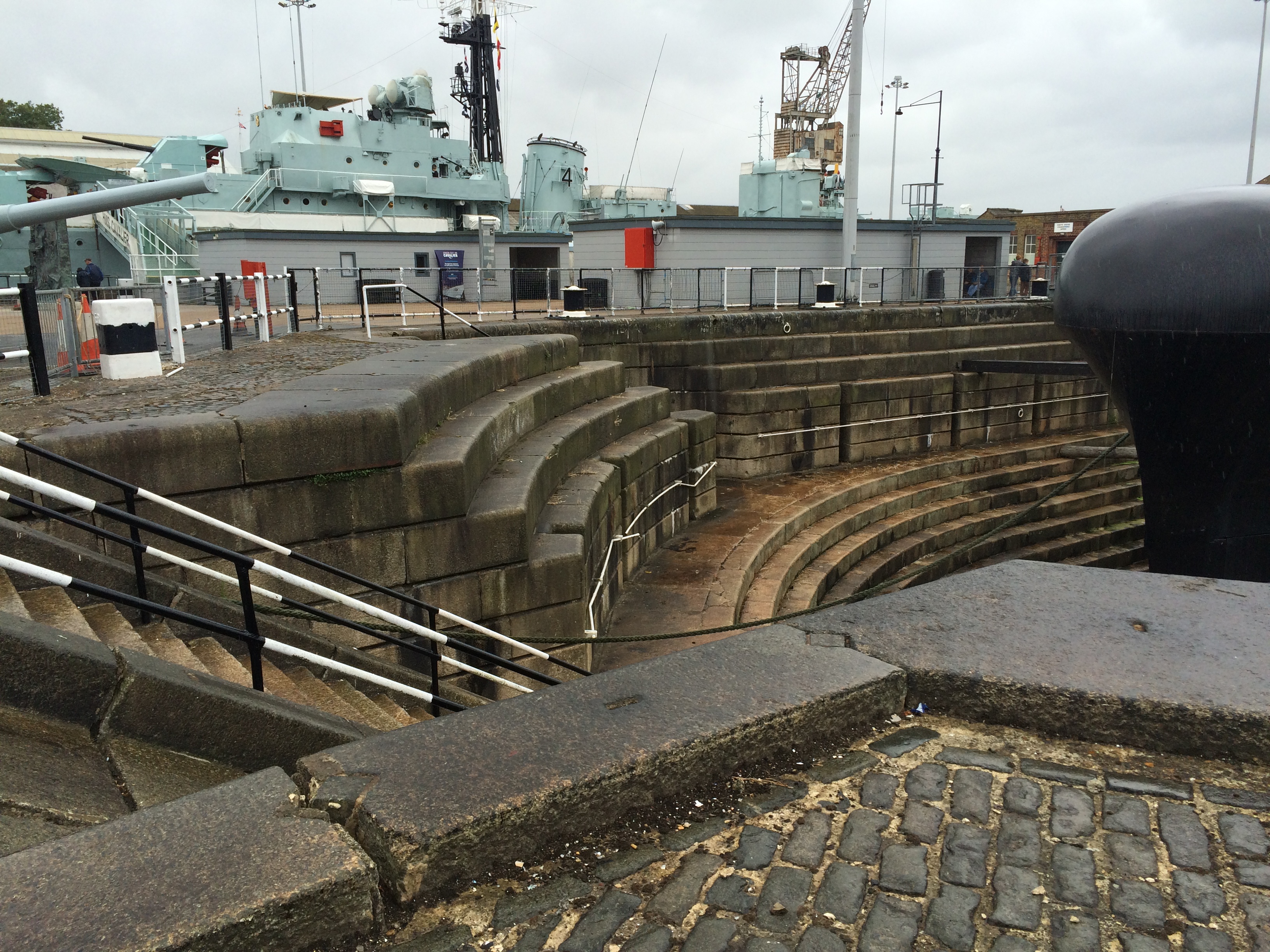
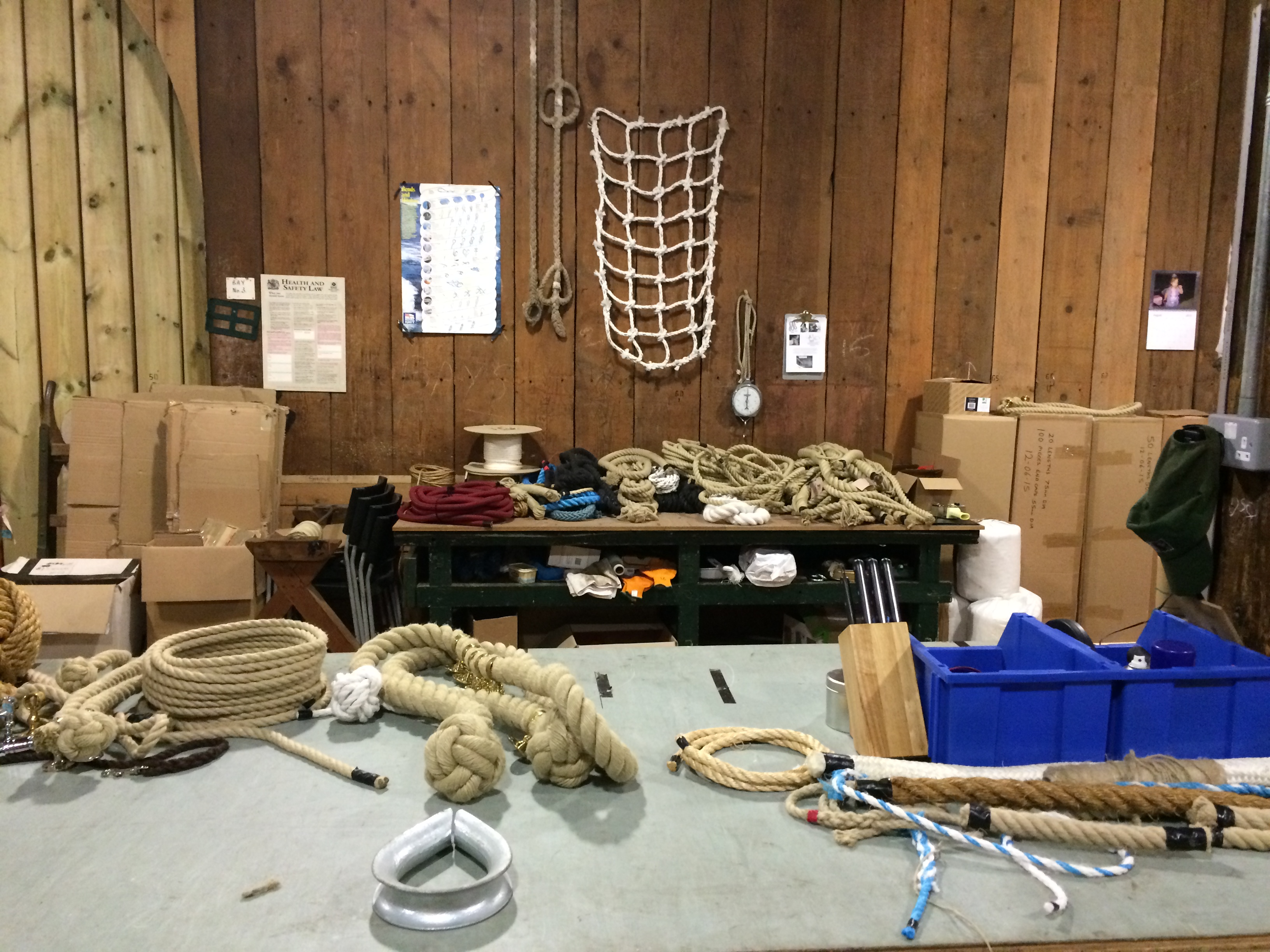
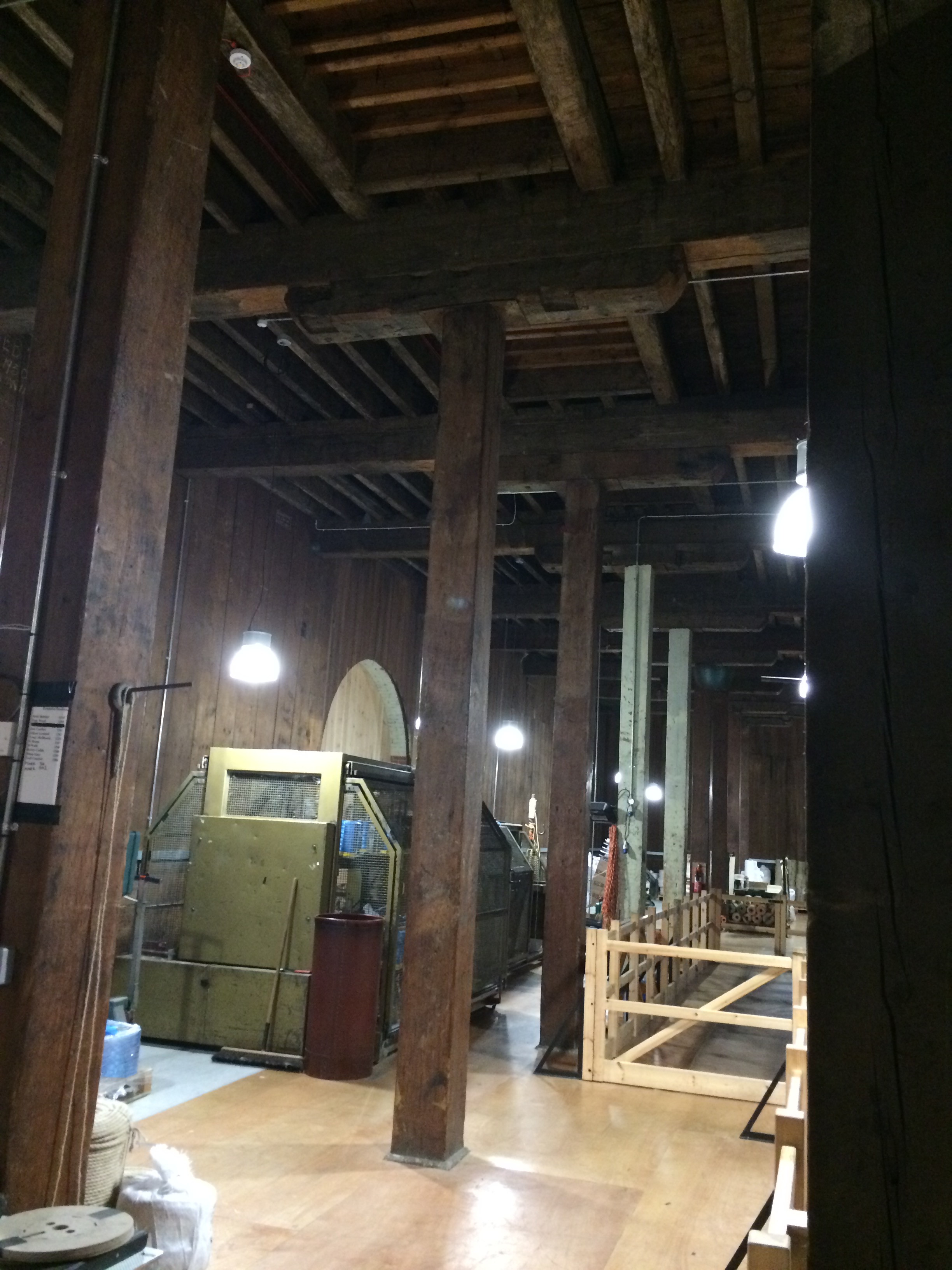
Historic Dockyards, Chatham – Georgian brickwork of the main gateway entrance. Image:Christopher TippingHistoric Dockyards, Chatham – The imposing and very long brick perimeter wall along Dock Road. Image:Christopher TippingHistoric Dockyards, Chatham – The imposing and very long brick perimeter wall along Dock Road. Image:Christopher TippingHistoric Dockyards, Chatham – the massive extant granite coping stones along the edge of Mast Dock. Image:Christopher TippingHistoric Dockyards, Chatham – The scale of the original Dockyard architecture is so impressive. Image:Christopher TippingHistoric Dockyards, Chatham – The geometry and pattern within the buildings are evident in structure and light. Image:Christopher TippingHistoric Dockyards, Chatham – The internal roof of the slipway buildings is really something to behold ! Image:Christopher TippingHistoric Dockyards, Chatham – The massive structural timbers of the No 2 Slipway building. Image:Christopher TippingHistoric Dockyards, Chatham – the roof apertures & timbers of the No 2 Slipway building create wonderful geometry and rhythms. Image:Christopher TippingHistoric Dockyards, Chatham – the roof apertures & timbers of the No 2 Slipway building create wonderful geometry and rhythms. Image:Christopher TippingHistoric Dockyards, Chatham – the early oak timbers were part of what were revered as ‘Chatham Timbers’ – Impressive forms with considerable interpretive merit. Image:Christopher TippingHistoric Dockyards, Chatham – the massive bespoke granite forms which make up the dry docks are particularly impressive. Image:Christopher Tipping
Historic Dockyards, Chatham – the massive bespoke granite forms which make up the dry docks are particularly impressive. Image:Christopher Tipping
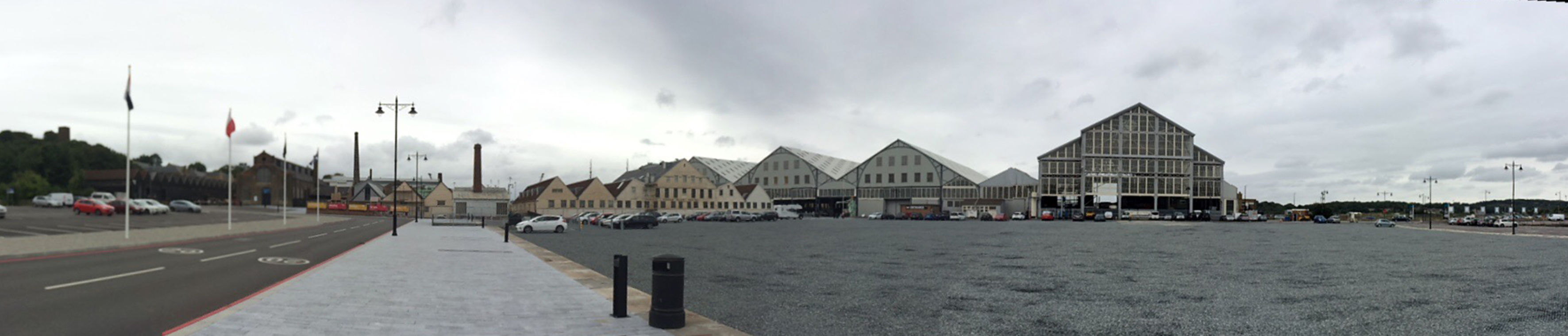
Material use within the Historic Dockyards is often massive in form, frugal in detail and places enormous emphasis on function and being ‘fit for purpose’. This robust, economic and honest use of material and form is influential and informative and should be used as a template and contextual influence within the regeneration of the Town Centre of Chatham.
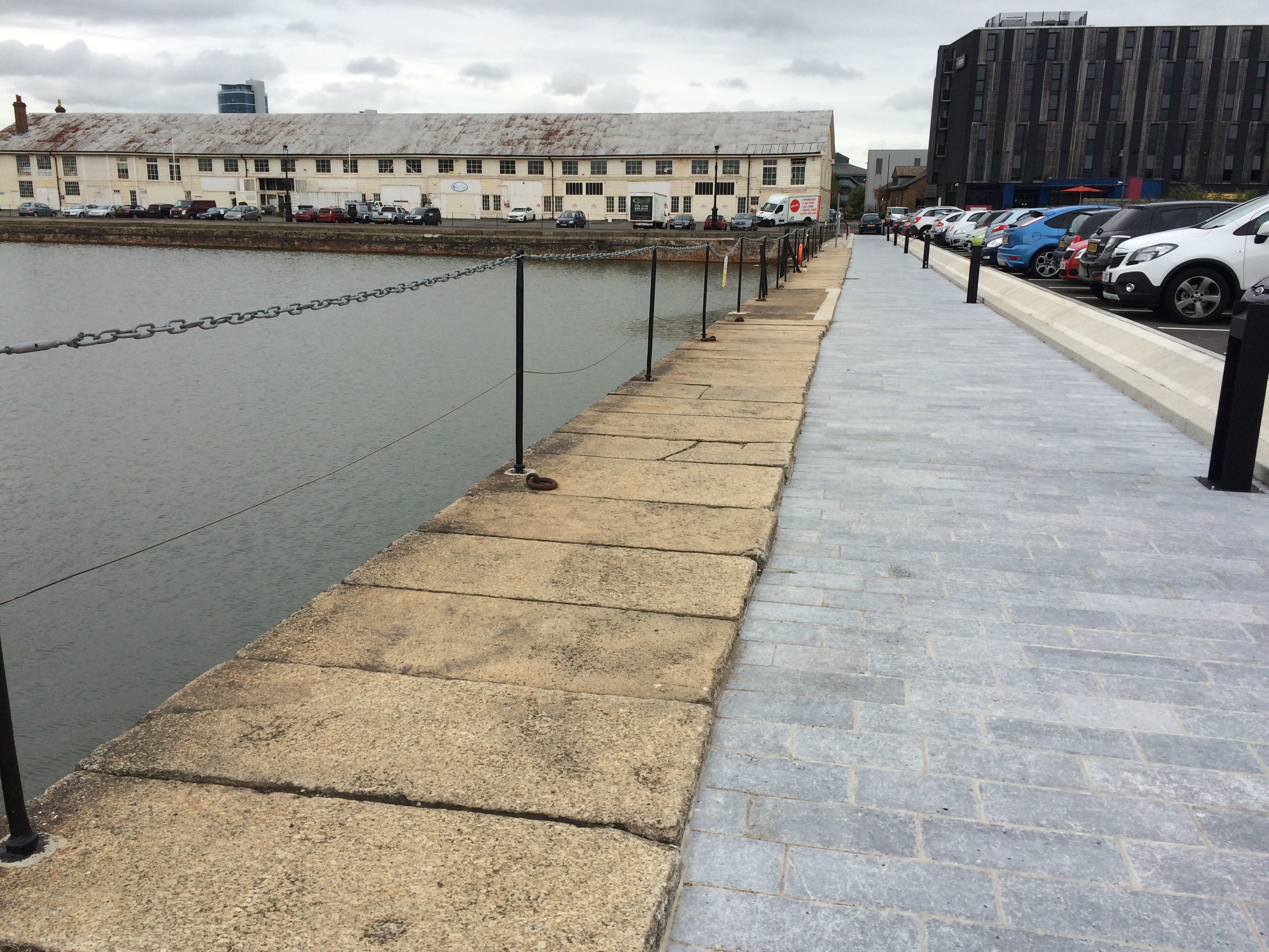
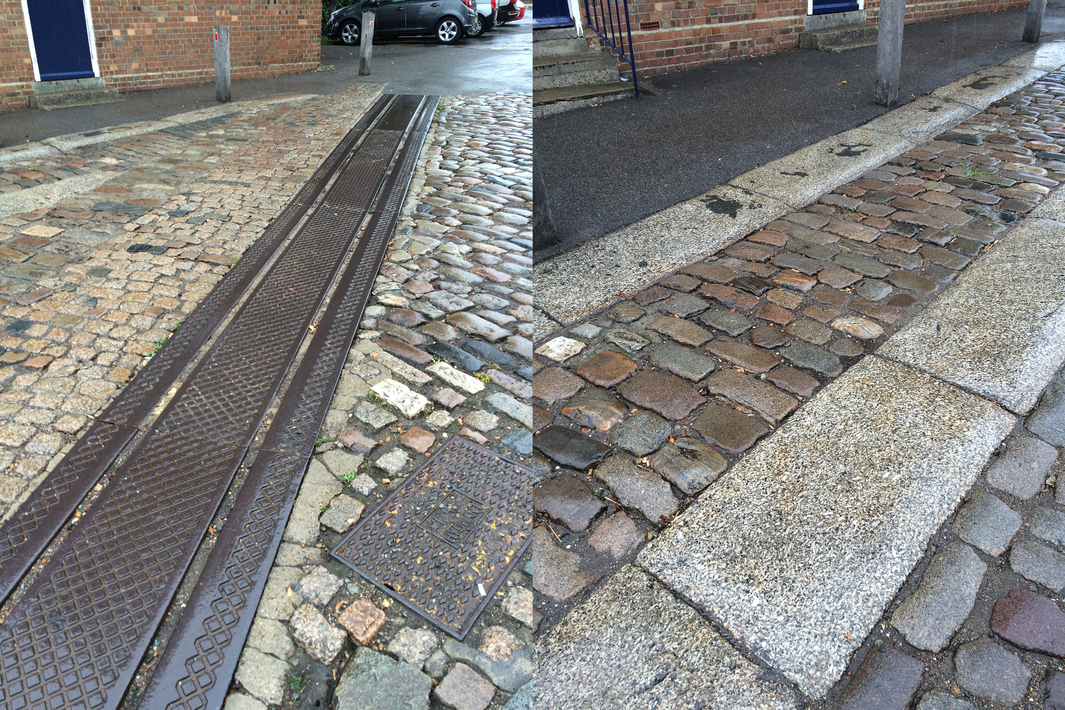
Historic Dockyards, Chatham – the bespoke granite paving forms and trackways which criss cross the site conjure up the legacy of movement and industrious activity of the dockyard. Image:Christopher Tipping
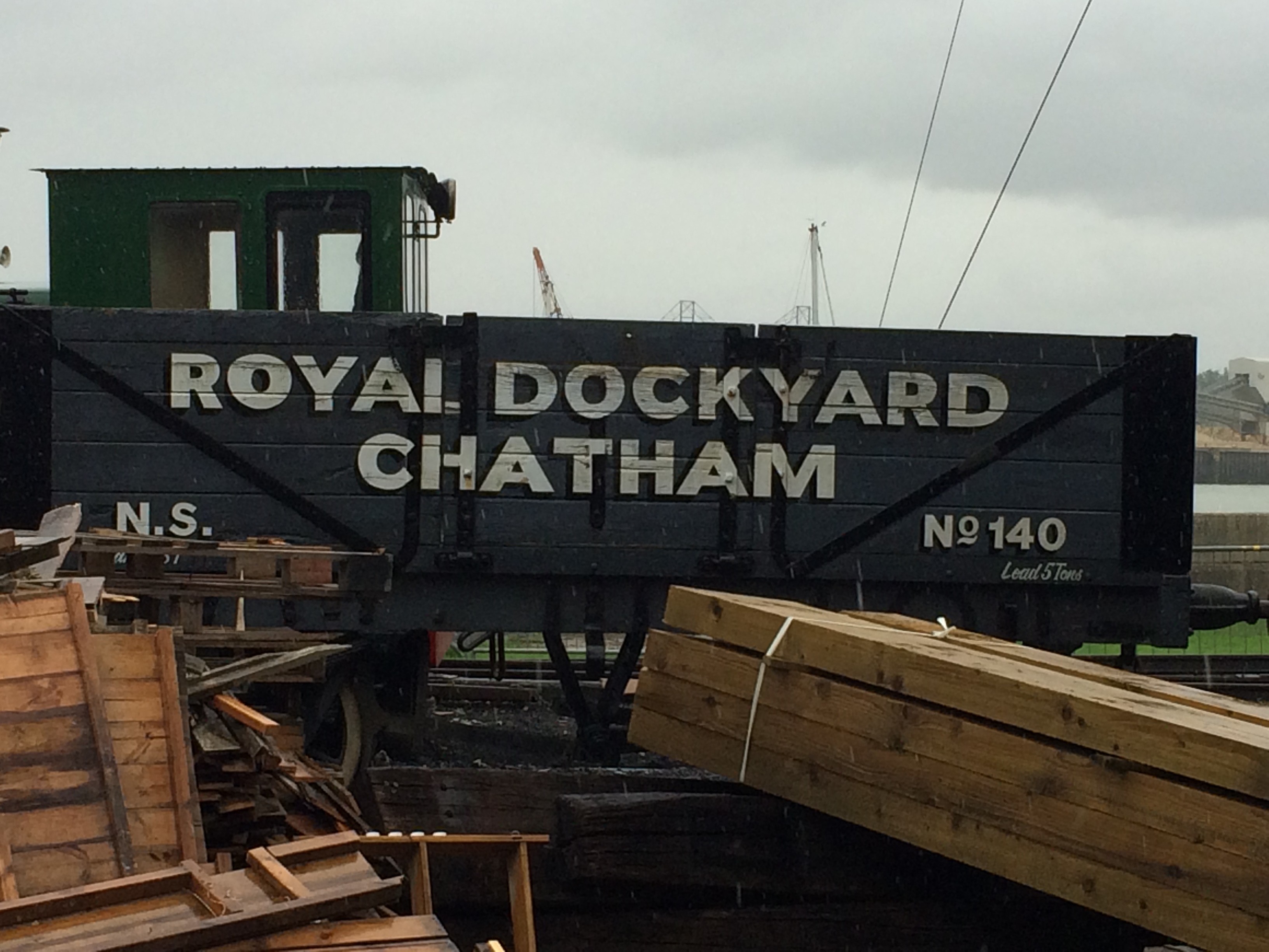
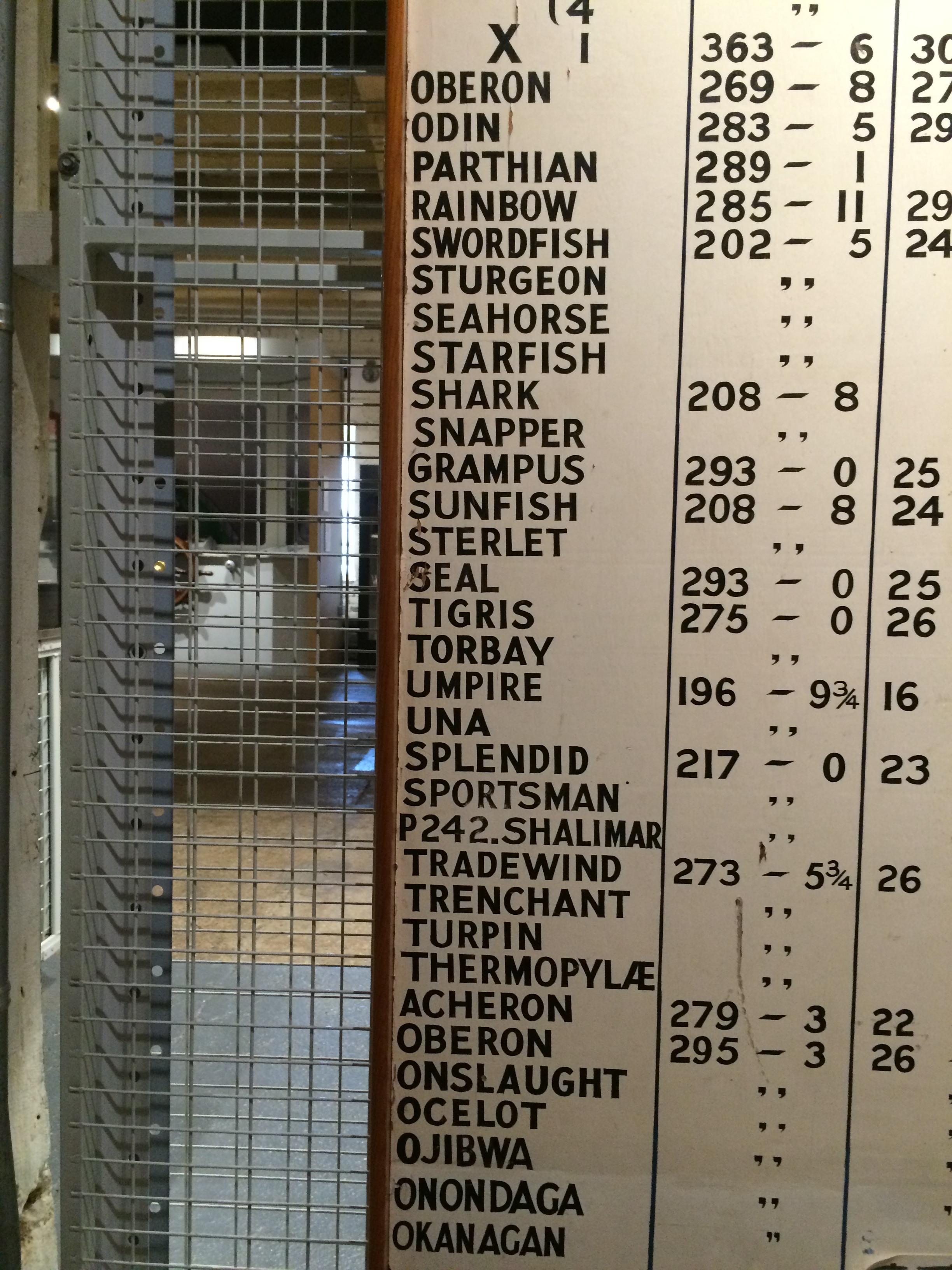
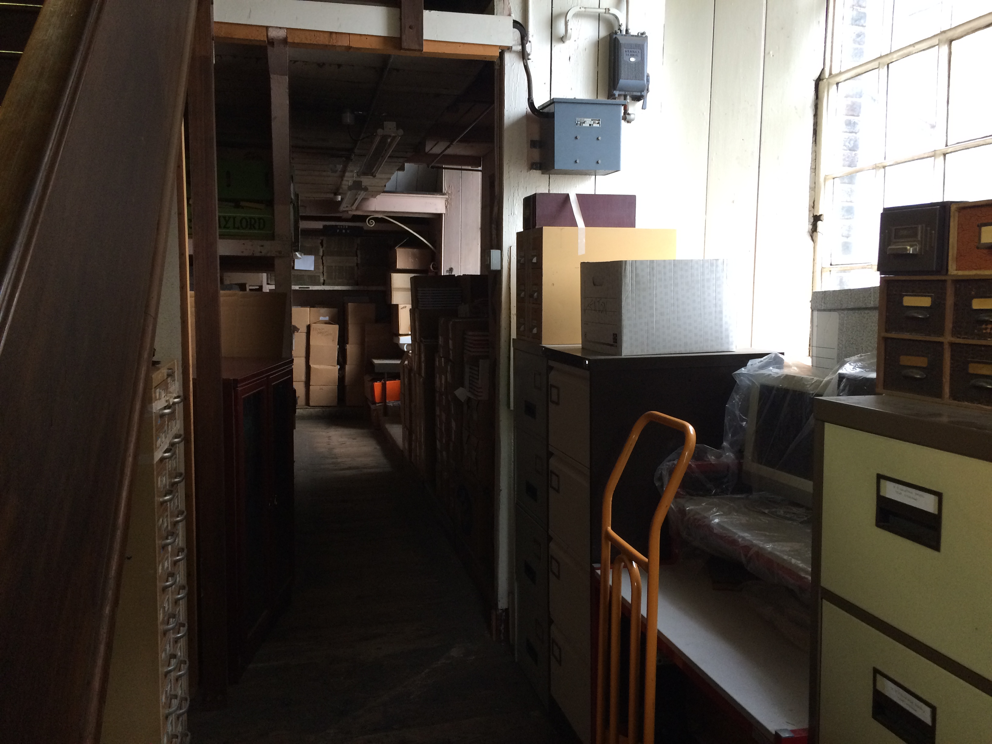
Historic Dockyards, Chatham – Dockyard Trains with great text – Image:Christopher TippingHistoric Dockyards, Chatham – List of submarines built in Chatham Docks. Image:Christopher TippingHistoric Dockyards, Chatham – the interiors of some of the buildings on site are immensely evocative and full of abstract forms. Image:Christopher TippingHistoric Dockyards, Chatham – the interiors of some of the buildings on site are immensely evocative and full of abstract forms. Image:Christopher TippingHistoric Dockyards, Chatham – the interiors of some of the buildings on site are immensely evocative and full of abstract forms. Image:Christopher TippingHistoric Dockyards, Chatham – the interiors of some of the buildings on site are immensely evocative and full of abstract forms. Image:Christopher Tipping
In early August this year I was commissioned by FrancisKnight Art Consultants and Medway Council to identify and scope creative public realm opportunities within the strategic Chatham Placemaking Project, which is being delivered by LDA Design.
“FrancisKnight have been appointed to work with LDA DESIGN and Medway Council on the Chatham Placemaking Project and in particular producing a creative public realm strategy to enhance the proposals and to add a sense of place and purpose to the spaces.
At the heart of the Thames Gateway, only 30 miles from central London, Medway is the largest conurbation between the capital and continental Europe. A modern place with green spaces and a superb quality of life, close to breathtaking countryside, the area has a young and culturally diverse population.
Chatham is located at the heart of Medway, with a population of 264,900 people living in the urban area in 2013. The area is world famous for its historic naval dockyard, and has also been a strategic centre for trade”.
This is a short term consultancy for me, which focuses particularly on the pedestrian route between Chatham Railway Station and The Waterfront, Chatham, via Railway Street and Military Road. This route leads on towards the Historic Dockyard Chatham – which is the subject of a World Heritage Bid –
I had up till this point never been to Chatham! I know of Chatham via Dickens and Pepys – as well as having looked at the Historic Dockyards online ! I have passed through the Medway Townsmany times on the train between Ramsgate and London, which does not really help frame a complete & honest image of the town.
This is a small sample of the visual record I made of my first visit in response to the project brief –
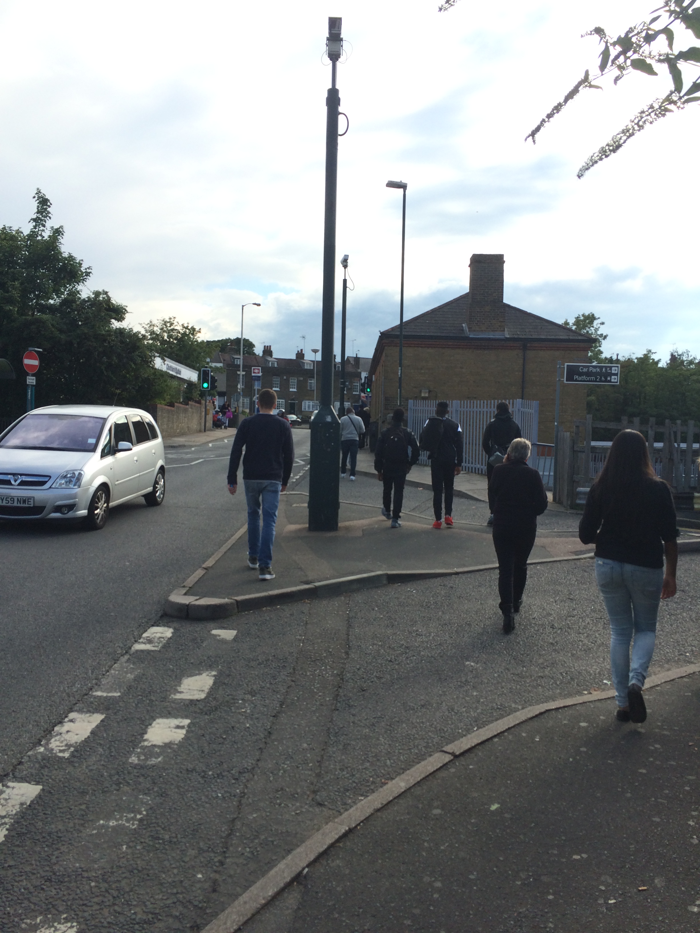
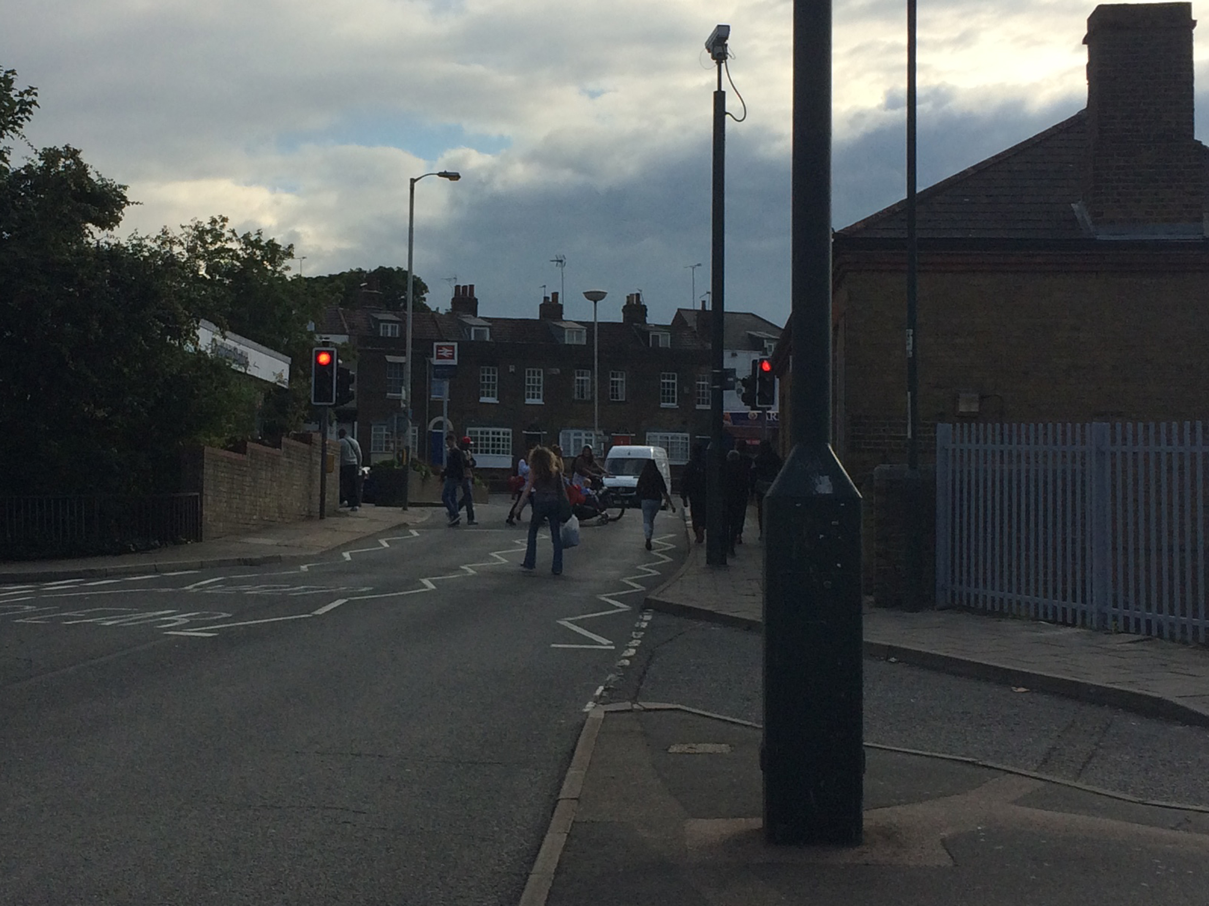
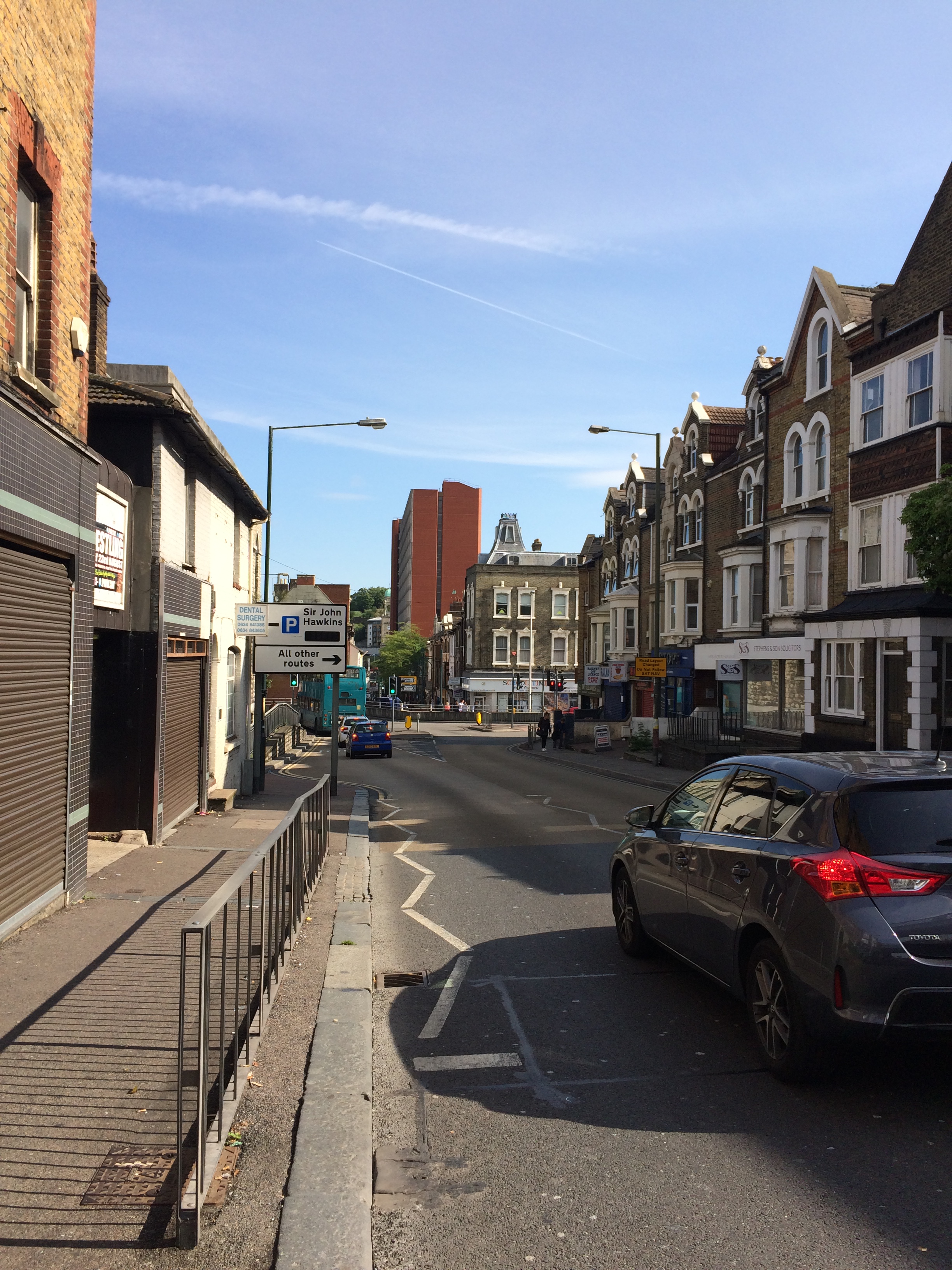
As you leave the Station and turn left, this leads you, via Railway Street towards the Town Centre and The Waterfront – however this route is a difficult one to navigate – if you know the town, then various landmarks map this out for you, but for a visitor, the experience is confusing and not for the faint hearted. The first 100m of this route, the car is certainly King – much to the detriment (& risk) of the pedestrian!
Railway Street, Chatham, Kent. The same view – Image:Christopher TippingRailway Street, Chatham, Kent. Image:Christopher Tipping
This view looks down Railway Street towards the Town Centre with the red brick edifice of Mountbatten House dominating the centre view.
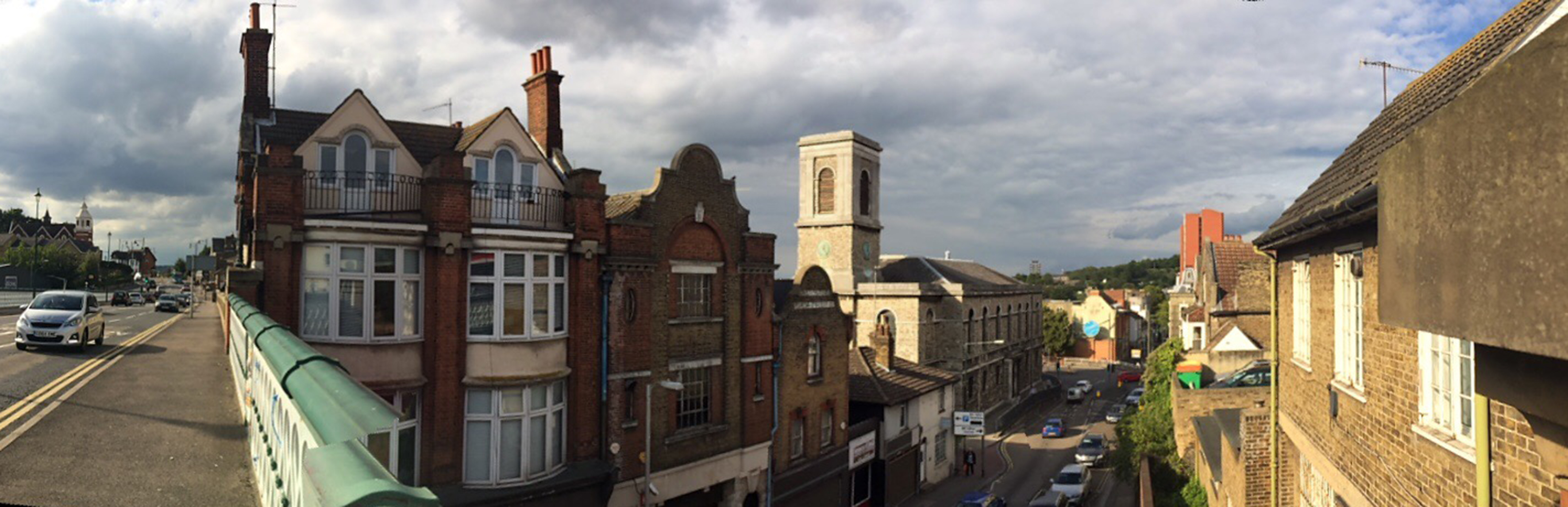
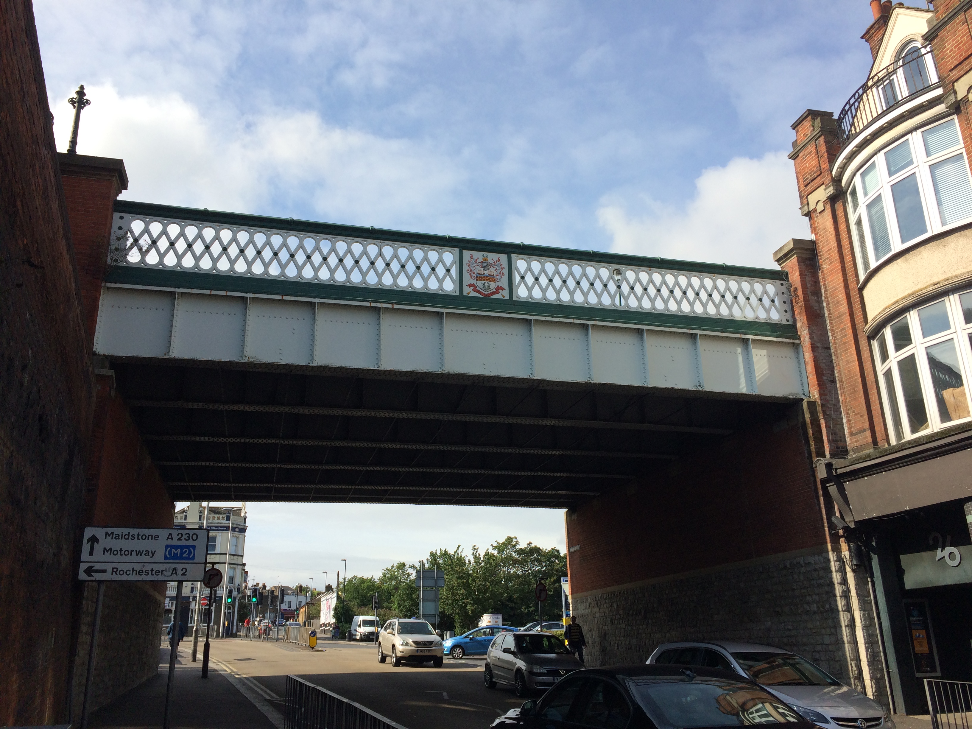
Railway Street, Chatham, Kent. Looking up towards the Train Station through the Viaduct, which replaced the original Old Viaduct of 1794, which was referred to as a ‘defensive’ gateway. Image:Christopher TippingSt John the Divine Church, Railway Street. Built in 1820/21 & closed in 1998. Image:Christopher Tipping
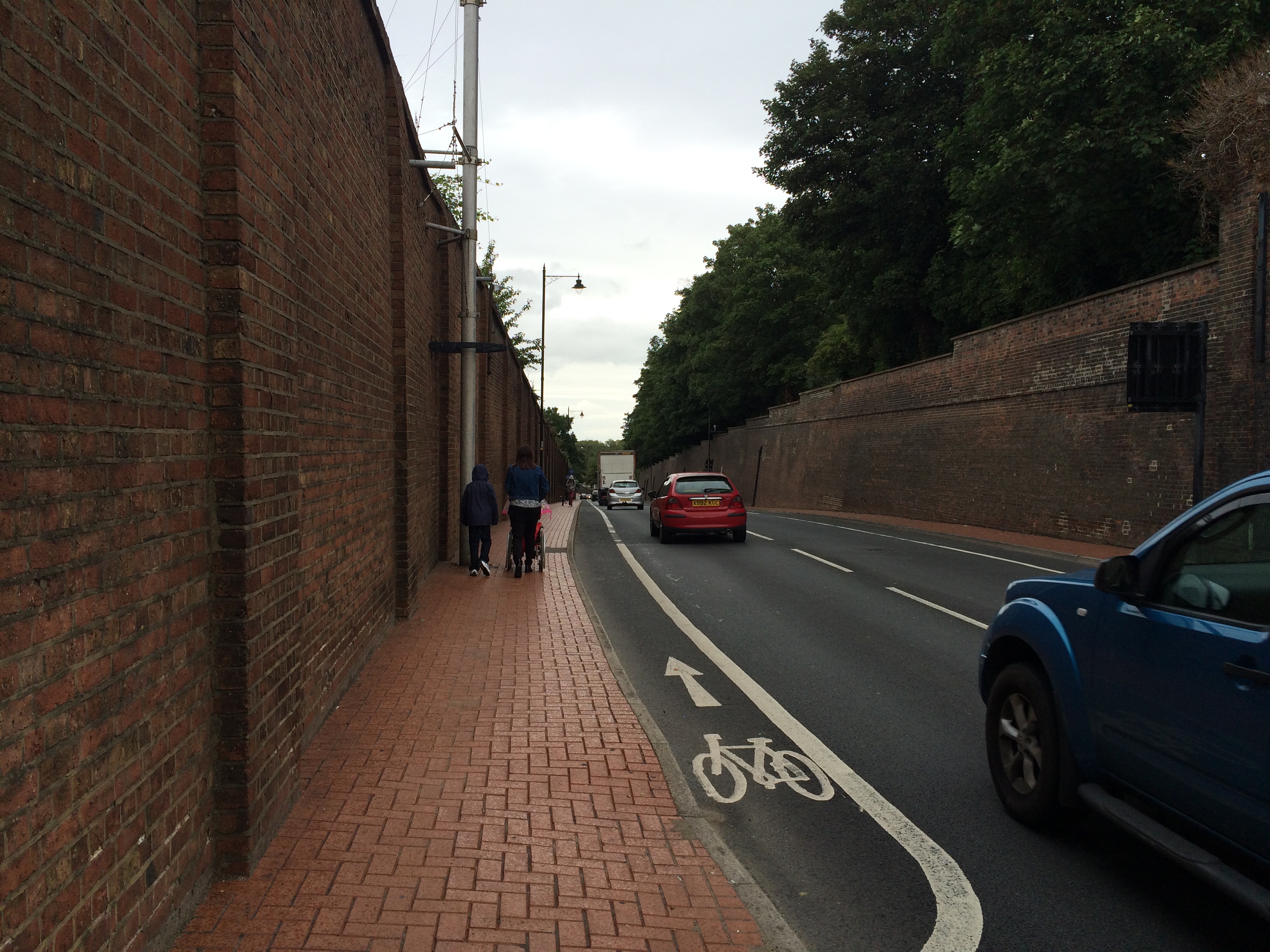
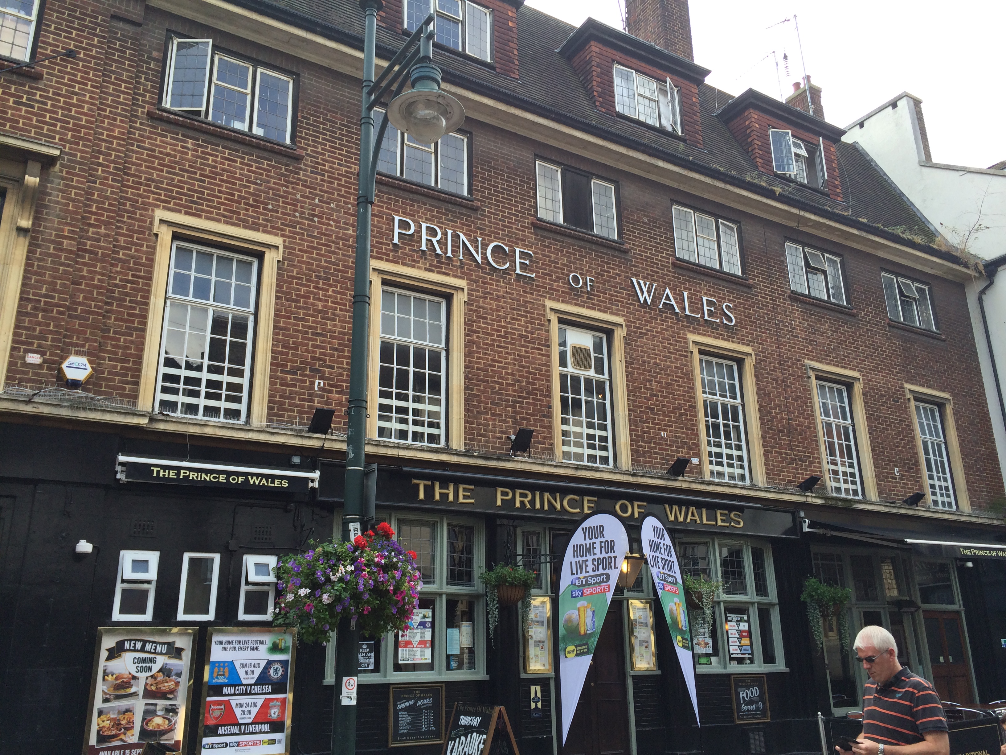
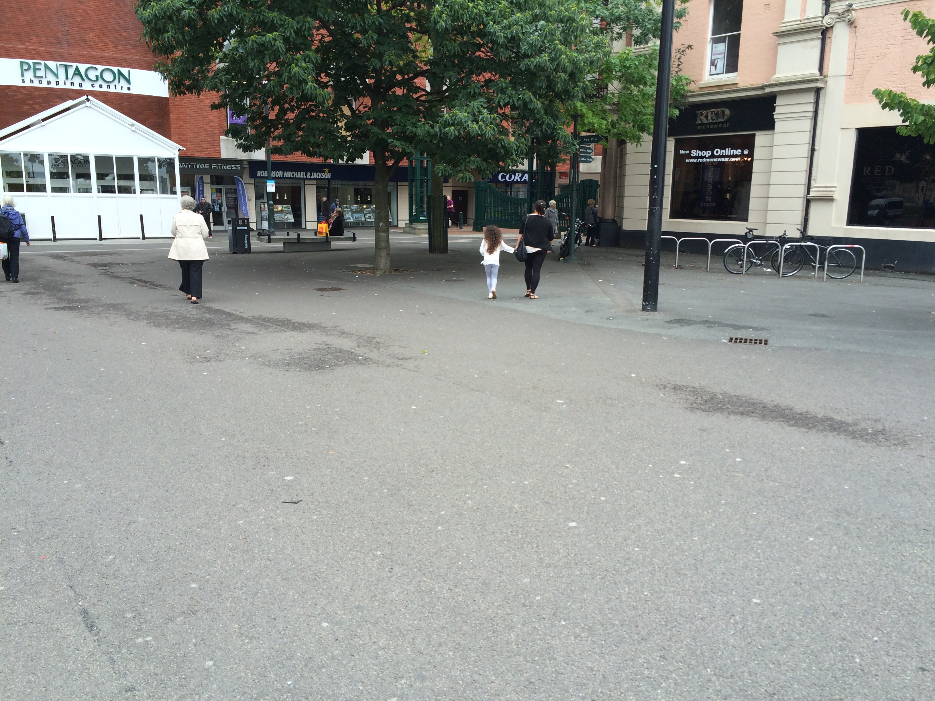
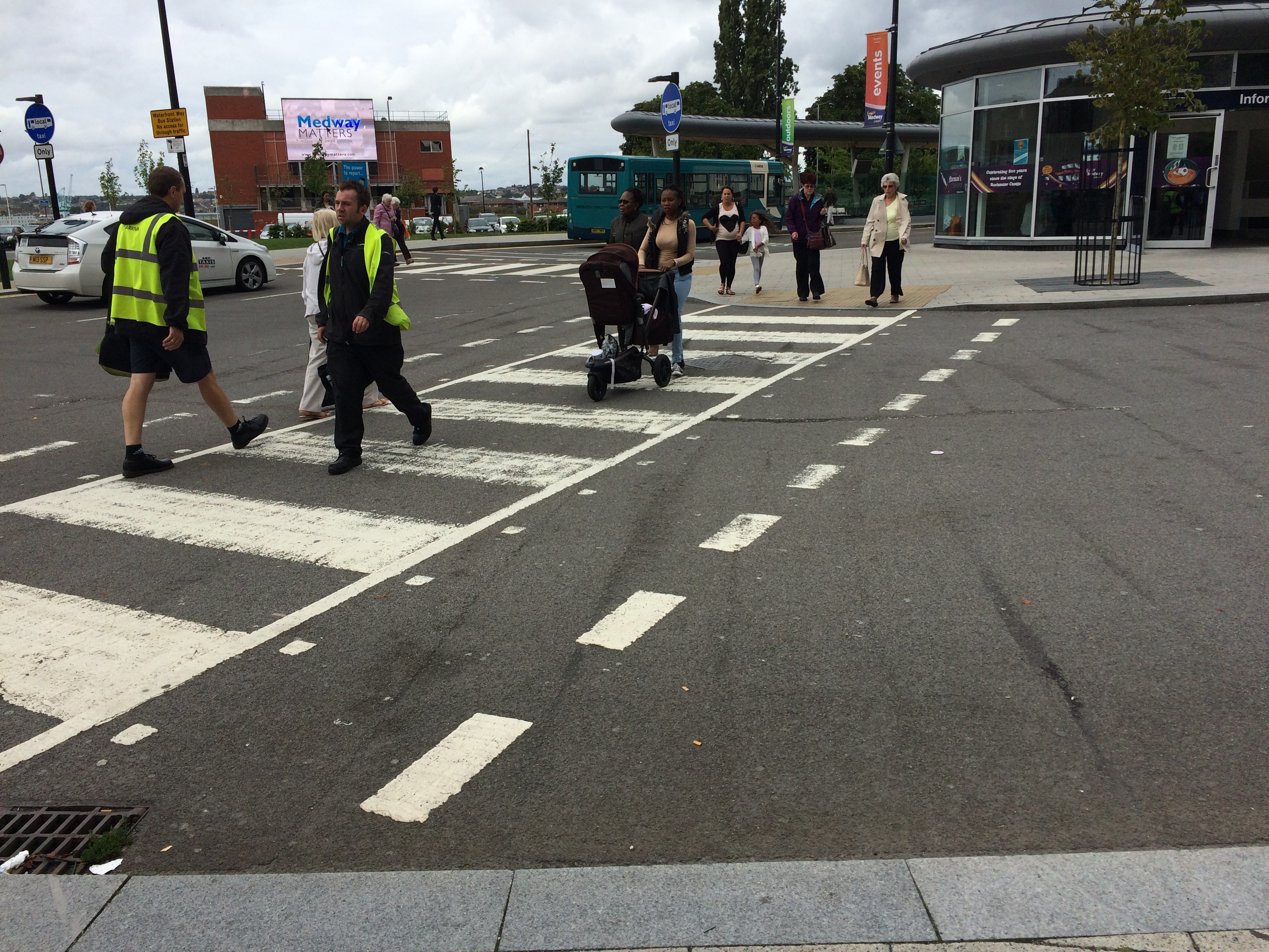
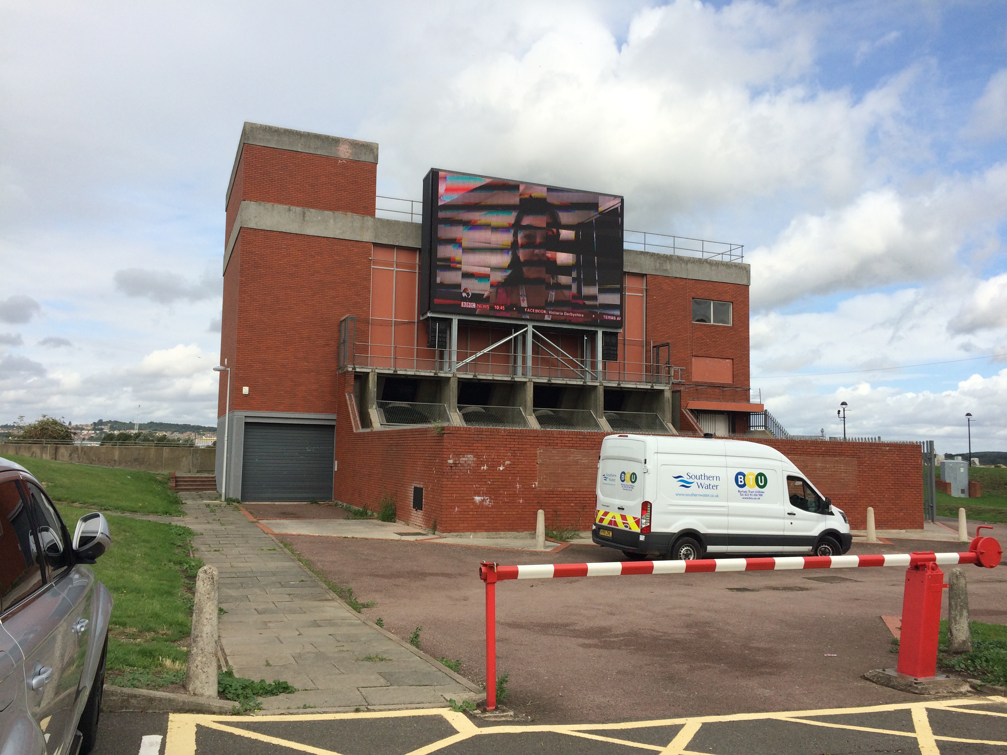
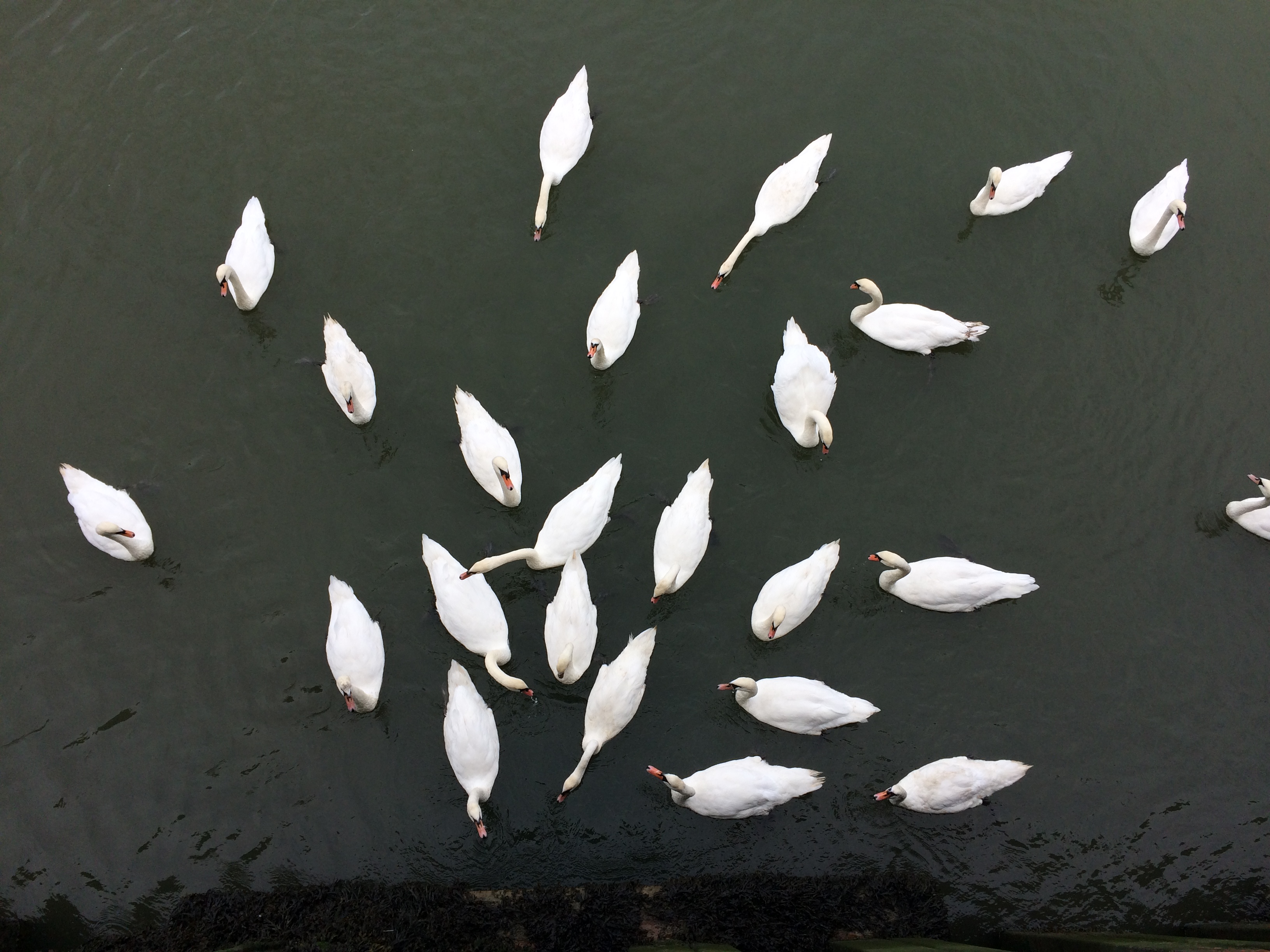
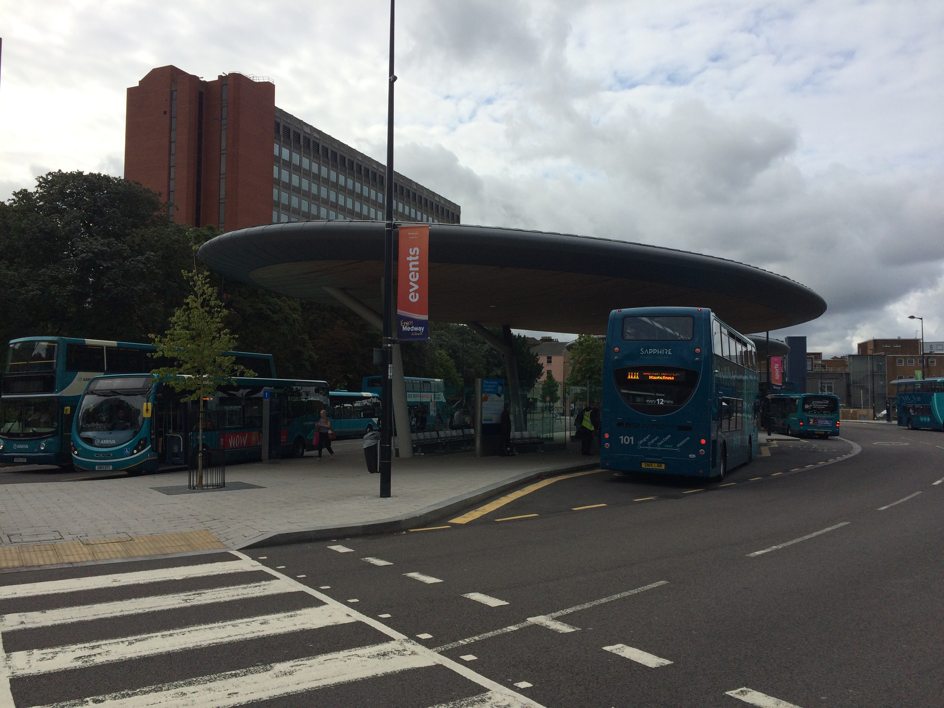
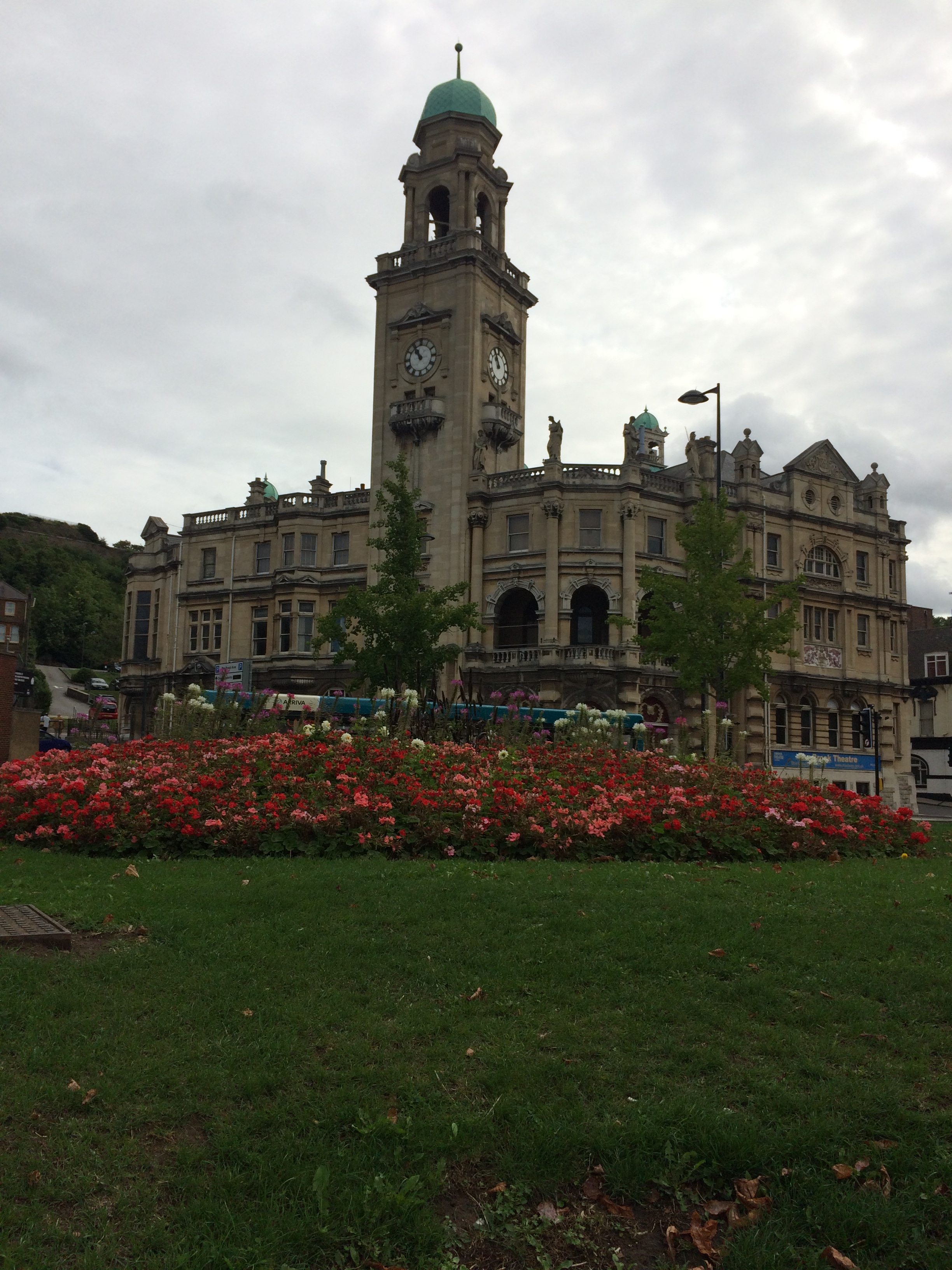
Railway Steet was split into two sections with Waterfront Way connecting to the A2. This created issues with pedestrian flow and connectivity. Image:Christopher TippingRailway Street, Chatham, looking towards the Town Centre from St John’s Church. Image:Christopher TippingRailway Street, Chatham, looking towards the Town Centre from St John’s Church. Image:Christopher TippingA variety of great buildings still extant on Railway Street. Image:Christopher TippingThe ‘Prince of Wales’ Public House on the lower part of Railway Street, Chatham. Image:Christopher TippingTwo views along Military Road, Chatham, which is dominated by the red brick office block on the right hand side – Mountbatten House and the Pentagon Shopping Centre. At the far end of the long view is the beautiful Brook Theatre, the former Town Hall. Image:Christopher TippingA wide view at the lower end of Military Road looking towards the Brook Theatre and the New Bus Station. Image:Christopher TippingA wide view at the lower end of Military Road looking towards the new Bus Station and Waterfront. Image:Christopher TippingWalking from the Bus Station towards The Pentagon Shopping Centre and Military Road, Chatham. Image:Christopher TippingThe main pedestrian crossing point towards the Bus Station & Pumping Station. Image:Christopher TippingChatham Waterfront Pumping Station and Big Screen, Chatham. Image:Christopher TippingThe Pumping Station appears to divide two distinct landscapes along the river frontage. Top – looking left of the Pumping Station. Bottom – looking right of the Pumping Station. Image:Christopher TppingThe local population on the river below the Pumping Station. Image:Christopher TippingThe local population sit on railings along the waterfront, Chatham. Image:Christopher TippingThe new Bus Station looking towards Mountbatten House. Image:Christopher TippingThe Paddock, which is green space between the Bus Station, Mountbatten House and the Pentagon Shopping Centre. Image:Christopher TippingBrook Theatre, Chatham, the former Chatham Town Hall. Image:Christopher Tipping