Tag Archives: Kent

Spritsail Barges of the Medway…and other Rochester Riverside Stories (2 of 3)

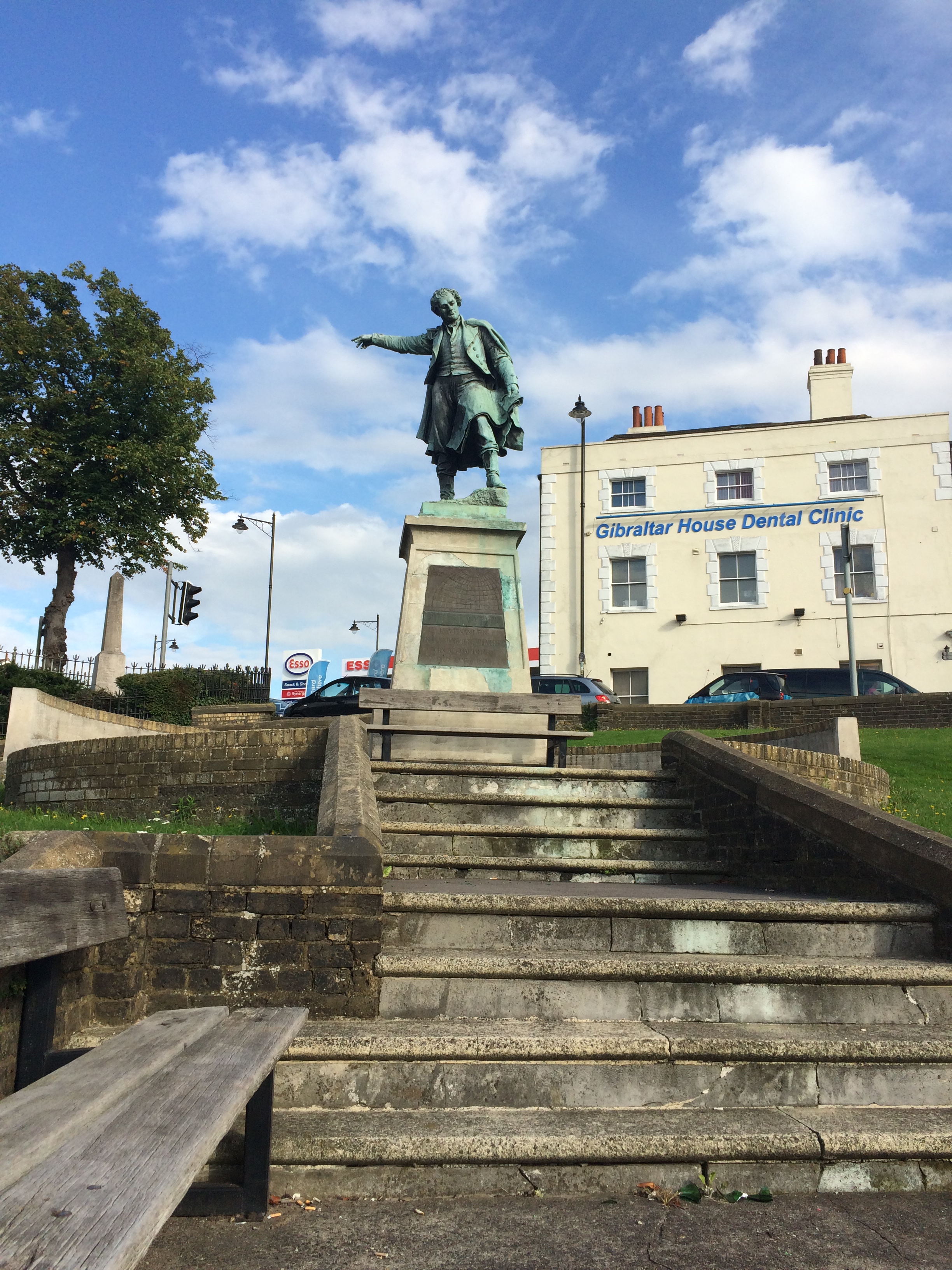
‘Mr Gill showed me a very fine model of their barge Centaur, a 50-tonner built by Messrs. Gill & Son, specially for the 1899 Medway barge Race, in the astonishing time of 6 weeks.” 


Draft designs for granite or cast iron paving slabs. Rochester Riverside. Image: Christopher Tipping


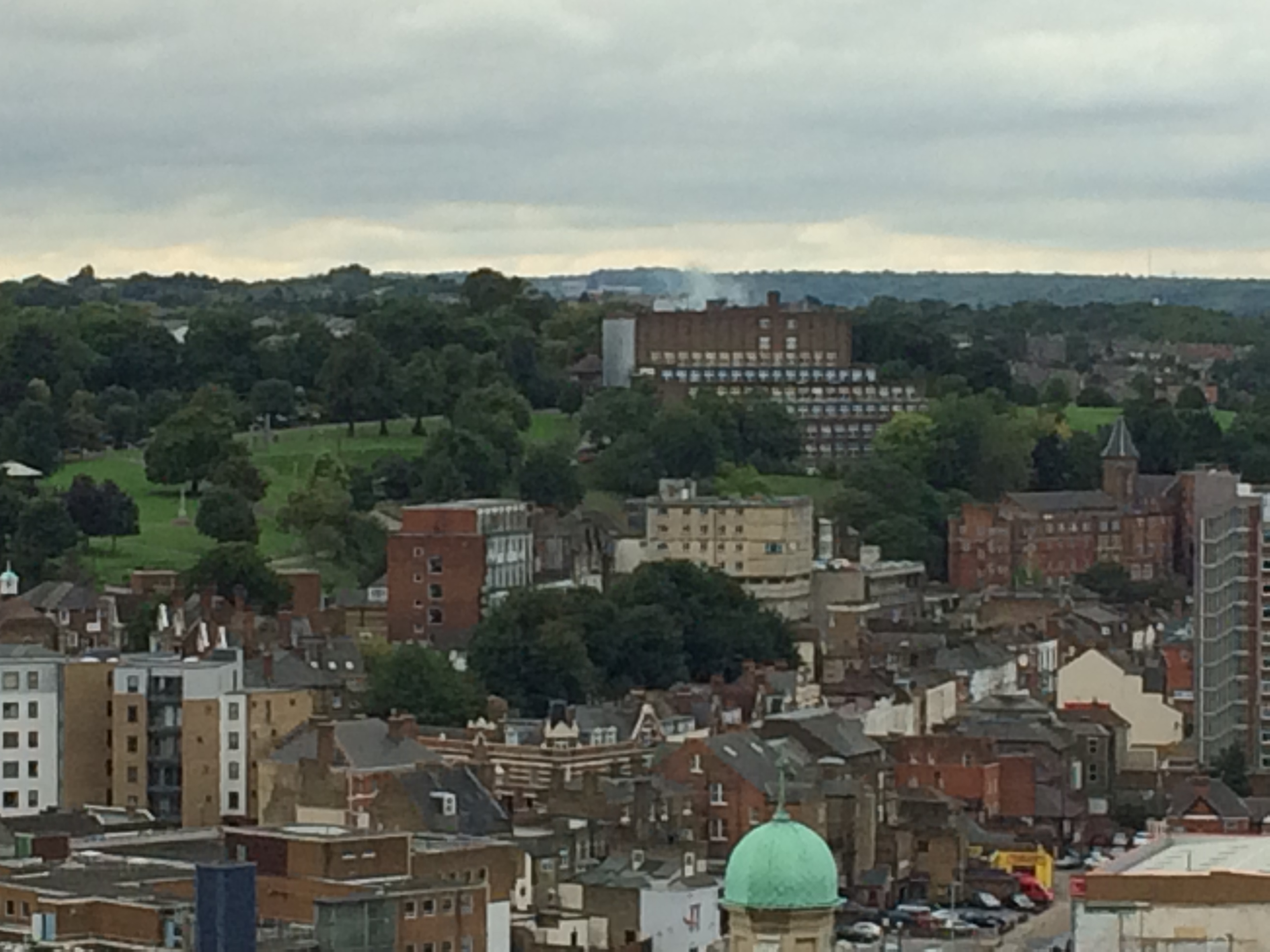
In his wonderfully evocative book ‘Spritsail Barges of Thames and Medway’, published in 1948, Edgar J March paints a highly detailed picture of Barge activity and life on the Medway. Many of these Barges started life in the boatyards of Rochester.

“Staunch and well built though a barge may be, each year sees a toll taken. Some yield at last to the cold embrace of the sea, whose caresses they have so long resisted, others steal quietly up some lonely creek to nose gently into the malodorous mud and settle down into their last berth, gradually to moulder away, forgotten by all save their one time masters, and perhaps, some sentimental fool like myself, who will gaze down on their rotting timbers and imagination see spars clothed with red-brown sails and hulls vibrant with life as they thrash there way round the Foreland.” 

Describing the excitement and thrill of the Medway Barge Races – “The course was from Hoo Marshes to the West Oaze Buoy and back to the Sun Pier at Chatham, a distance of about thirty five miles…A strong easterly wind was blowing, and in Long Reach Verona’s bowsprit snapped off short, but the crew cleared away the wreckage and setting a jib topsail as a staysail, carried on to come sixth in their class.” Edgar J March. 


Draft designs for granite or cast iron paving slabs. Rochester Riverside. Image: Christopher Tipping

Referencing a painting by T.B. Hardy, 1874, Edgar March goes on to describe the Medway as, “When this picture was painted, marine artists had little need to look for subjects. The Medway was alive with sailing craft : dainty little topsail schooners, picturesque collier brigs with apple bows and dingy canvas, barques from Scandinavia, bringing pine-scented timber from the Baltic to Rochester, and above all, barges innumerable, threading their way through the maze of traffic. One hundred a tide was no uncommon sight, and what a joy to a sail-lover that galaxy of russet, brown and ochre canvas must have been, many with various devices emblazoned on their mainsails – Lees’ stumpies had the white horse of Kent rampant on ebony coloured sails – all either hurrying down on the ebb or beating up against wind and tide. Now gone forever.”


Draft designs for granite or cast iron paving slabs. Rochester Riverside. Image: Christopher Tipping


…and “In  those far-off days, watermen, or “goozers”, to use their riverside nick-name, plied their trade in skiffs”. Edgar J March


Draft designs for granite or cast iron paving slabs. Rochester Riverside. Image: Christopher Tipping

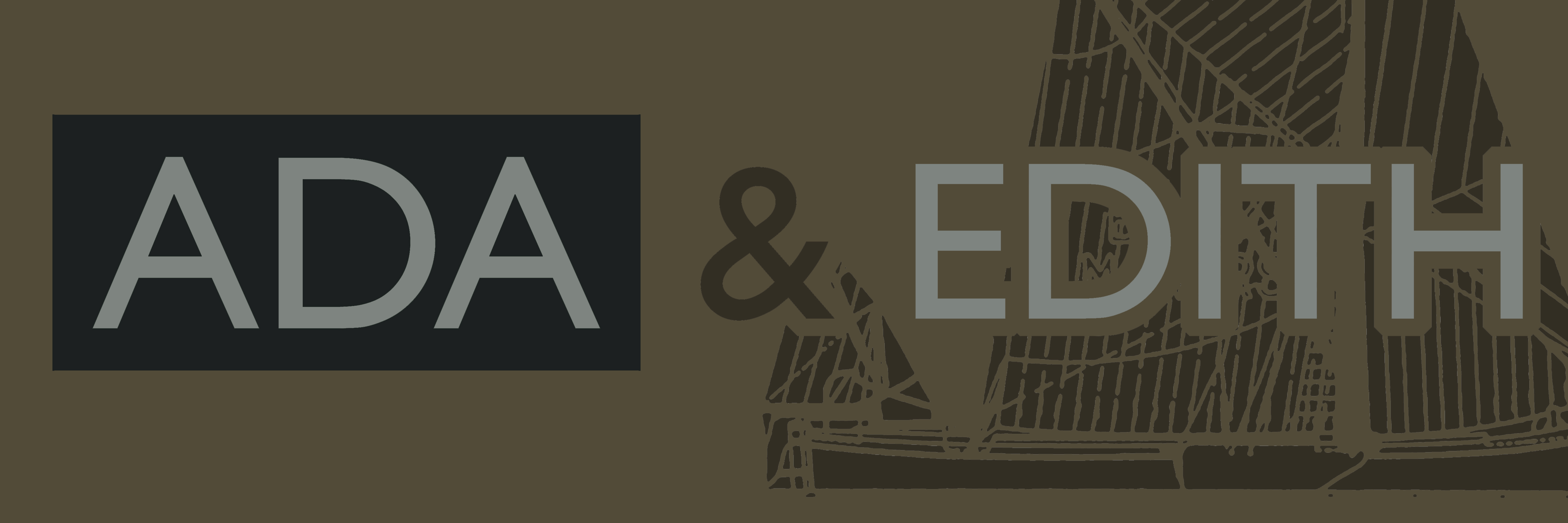
William Higham was born in 1838 in Lewes Sussex. On 27/10/1864 he married Fanny Elizabeth Blake in Strood, nr, Rochester. By 1881 they had 9 children.

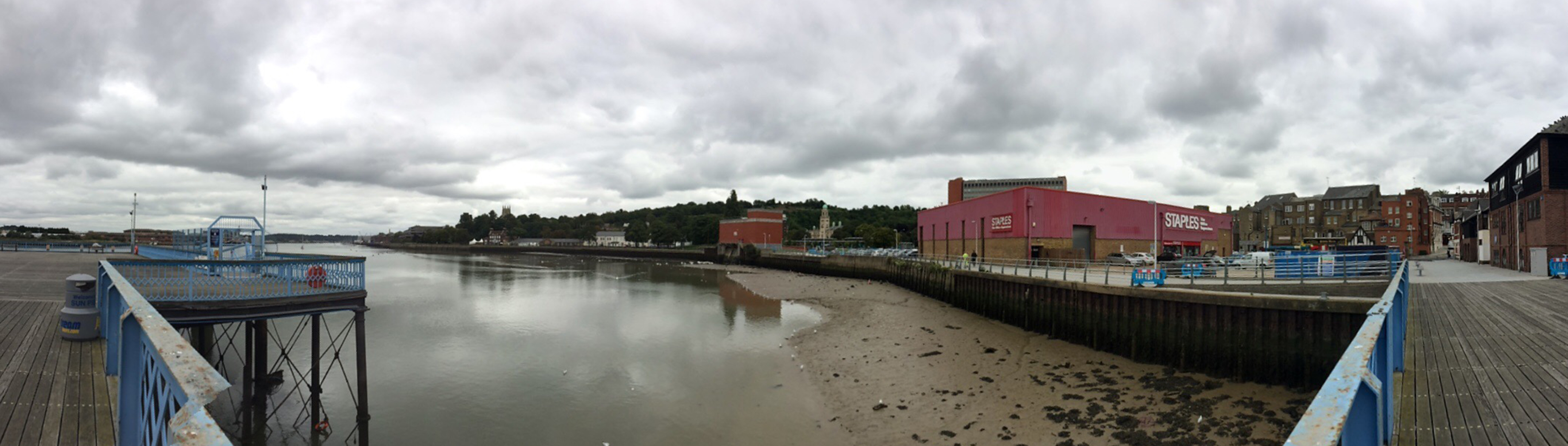
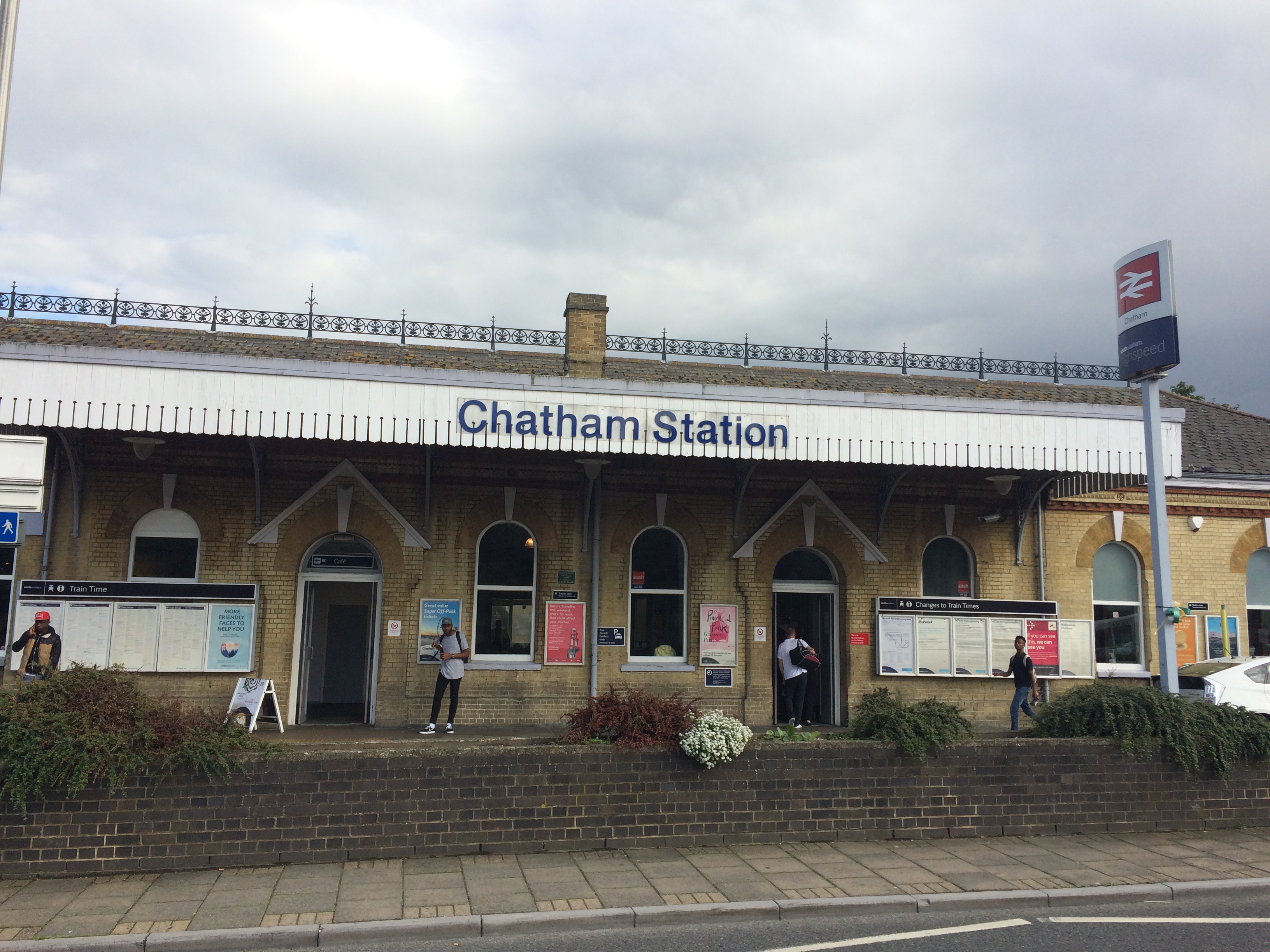
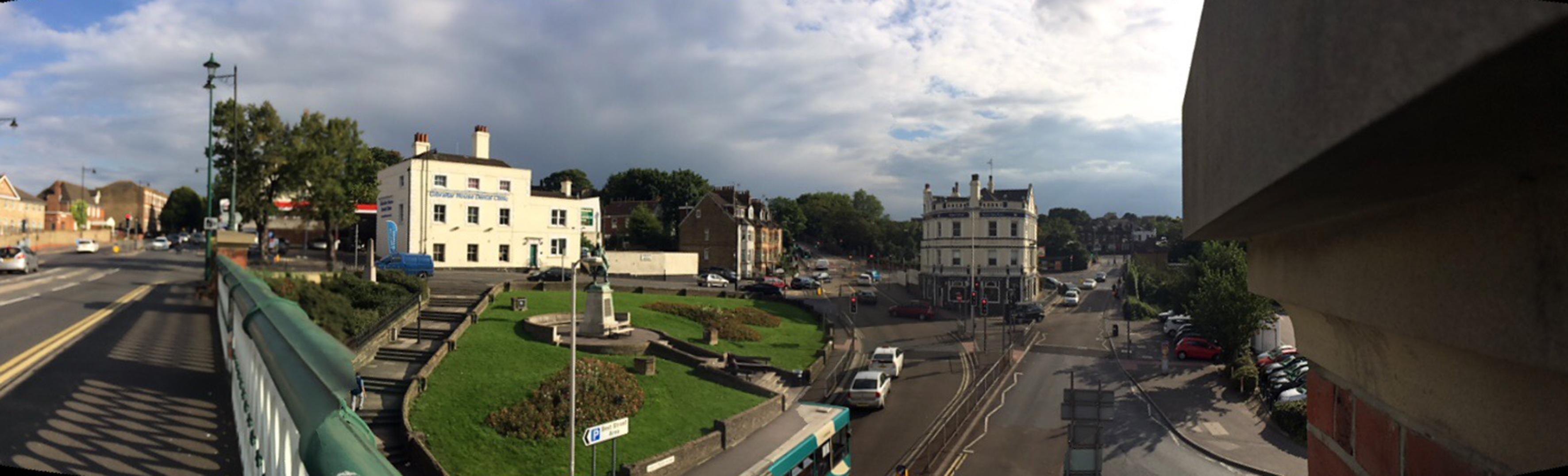
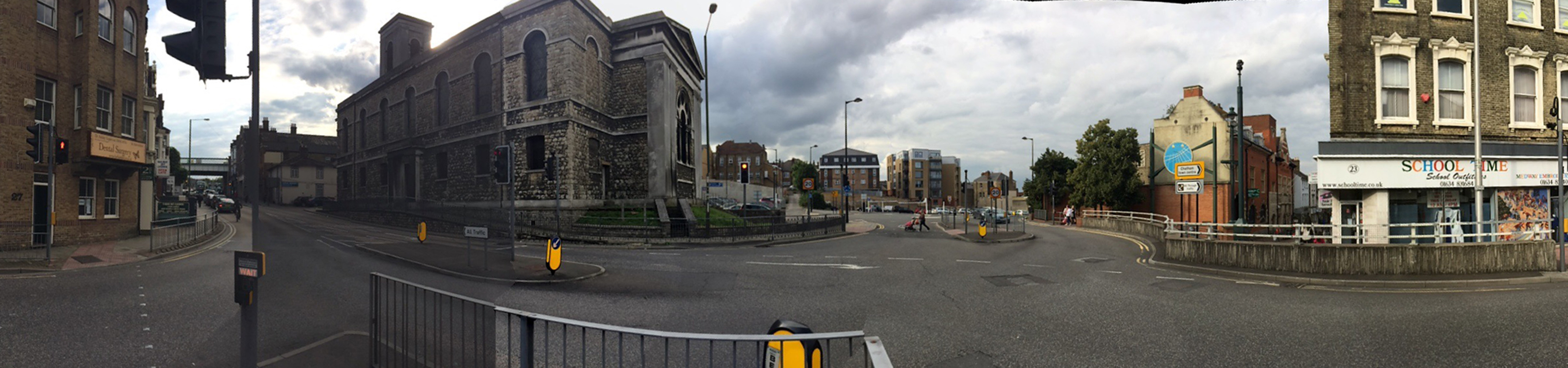
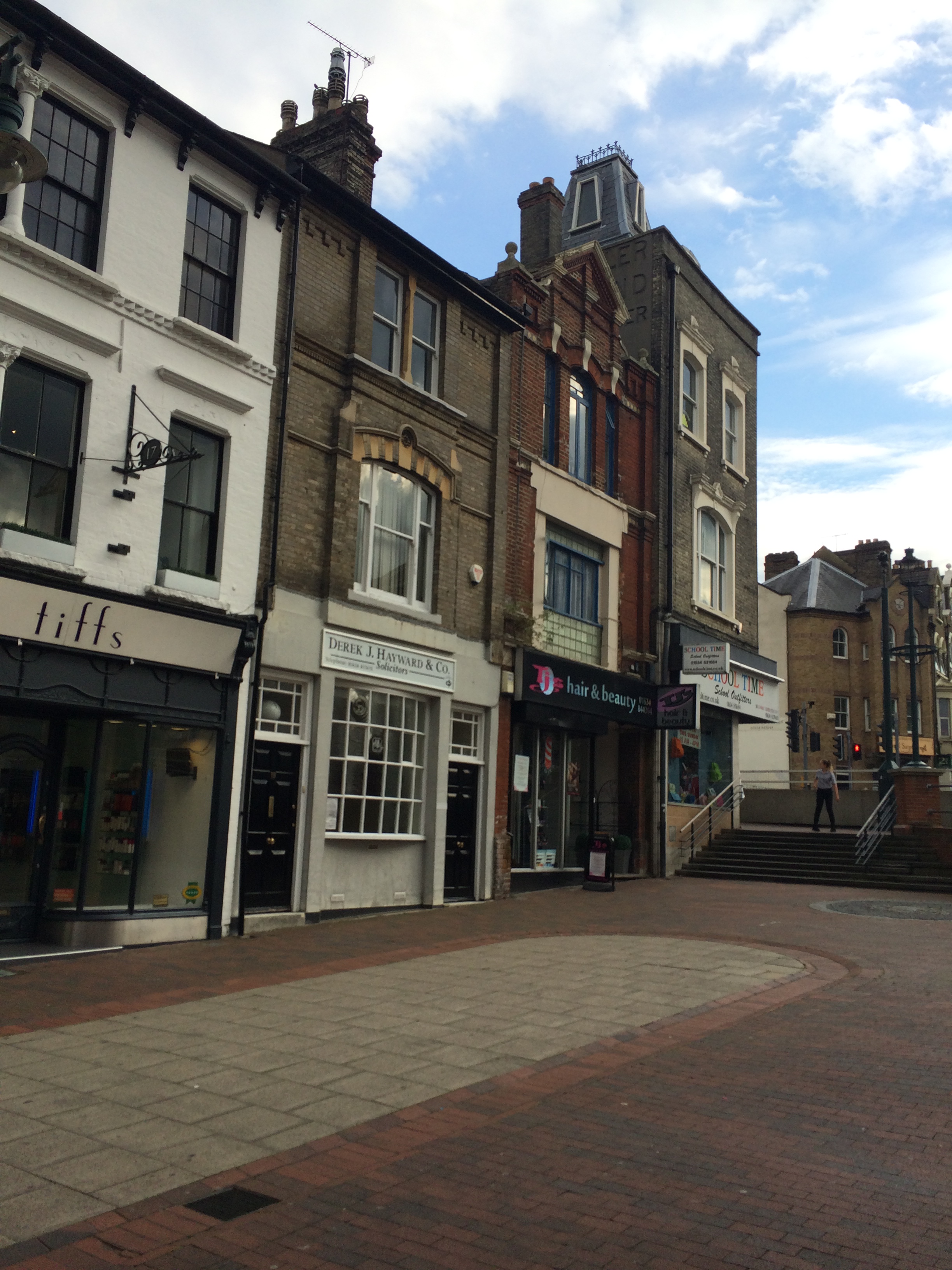
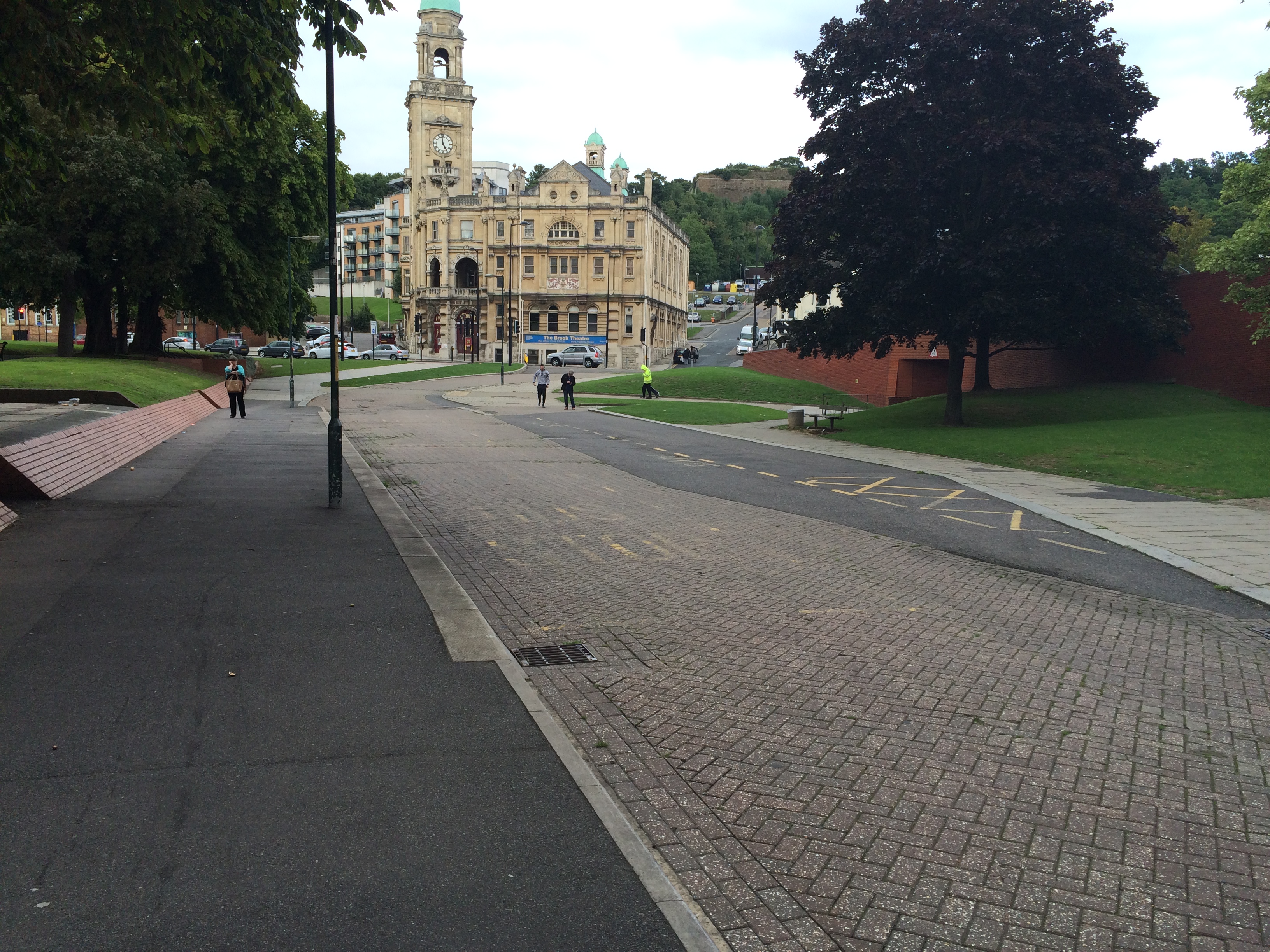
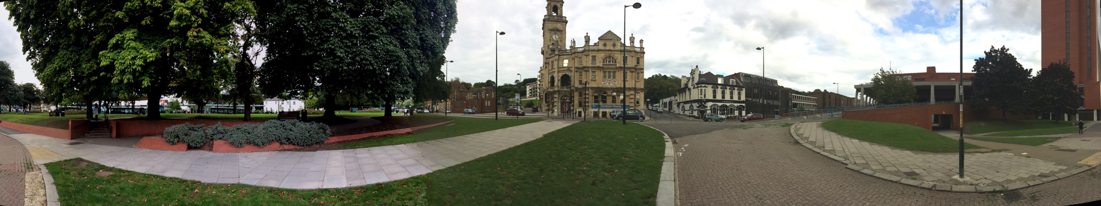
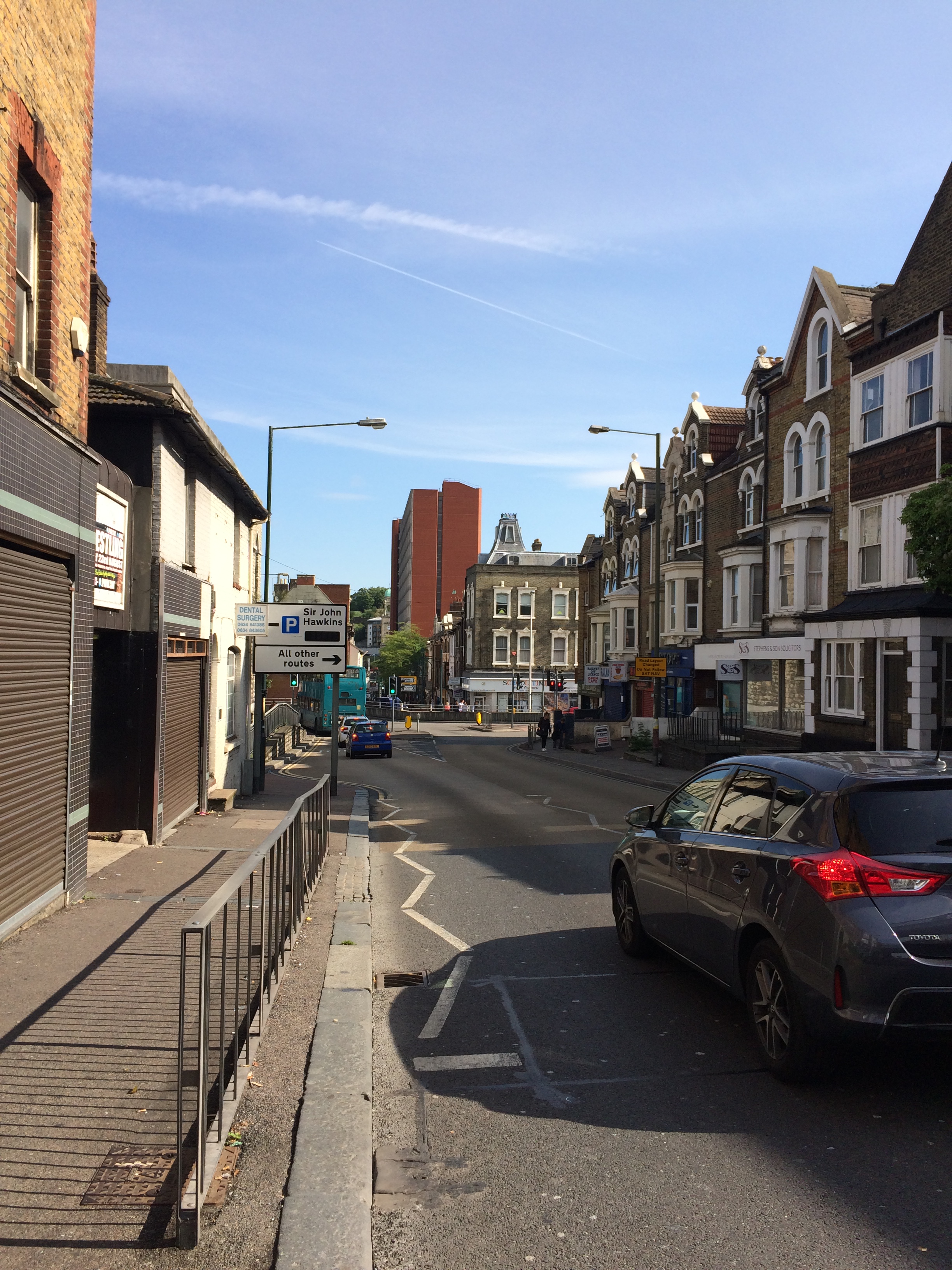
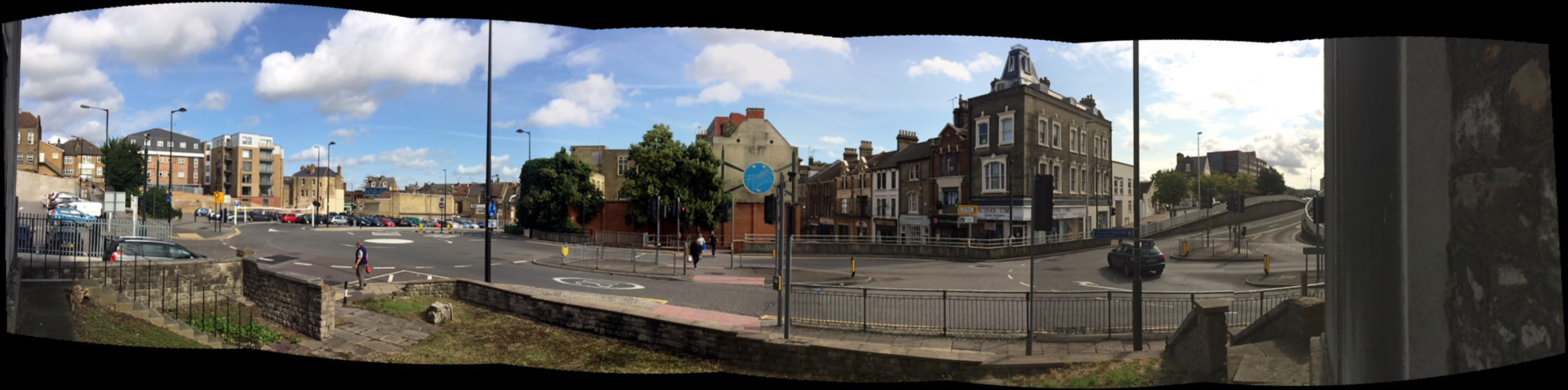
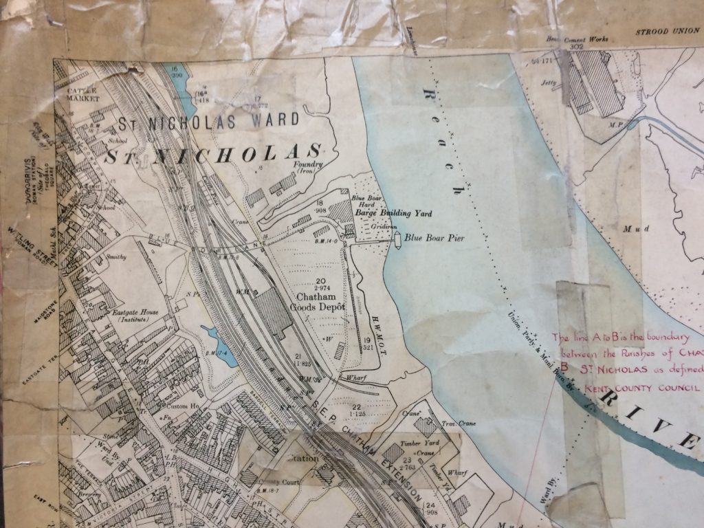
William was a Barge Builder and they lived in a private house on Victoria Street, Rochester. The location of his Yard is show on the OS map of 1898 on Blue Boar Hard, just above the Pier. ADA & EDITH is just one of many barges built here between 1876 and 1901.

Detail of OS Map 1898 showing land prior to development as Cory’s Coal & Rail Depot & Wharf. Rochester Riverside Industry. Reproduced by Kind Permission of MALSC.

 PROVIDENCE

FOX HOUND

MAID OF KENT

ANNIE & ALICE

CHARLEY BAKER

HERBERT & HAROLD

ADA & EDITH

ANSWERS

SILVER WEDDING

MABEL MAUD

VENTURA

FIVE BROTHERS

DOROTHY


Draft designs for granite or cast iron paving slabs. Rochester Riverside. Image: Christopher Tipping


‘WALRUS’ & ‘NELLIE’ were two portable conveyors owned by William Cory & Son, Coal Factors, at Cory’s Wharf, used for transporting stone aggregates from Barge to Train. These aggregates were known as Fines, Nuts & Cobbles.


Draft designs for granite or cast iron paving slabs. Rochester Riverside. Image: Christopher Tipping


“It has been my privilege to go over and see the marvellous machinery for loading and unloading coal. The five large cranes, when seen at work bowing their stately heads, look like dancers executing a minuet; …when in repose, standing like so many soldiers on sentry duty, with fixed bayonets. What a contrast to see the way a collier is unloaded by these cranes, as compared with the old coal whippers’ days! A coal boat seems scarcely to draw alongside the wharf before it is steaming away again”. Edwin Harris Guides to Old Rochester, Pub. 1930 No. 27 Part 1. (Ref: ROC. 942.23 HAR The Riverside. Harris/Edwin. MALSC).


Cory’s Coal Depot with 2 abandoned cranes from the original 5. November 1969. Black & White Photograph. Rochester Riverside Industry. Reproduced by Kind Permission of MALSC.


Detail of OS Map 1932 showing Cory’s Coal & Rail Depot & Wharf. Rochester Riverside Industry. Reproduced by Kind Permission of MALSC.


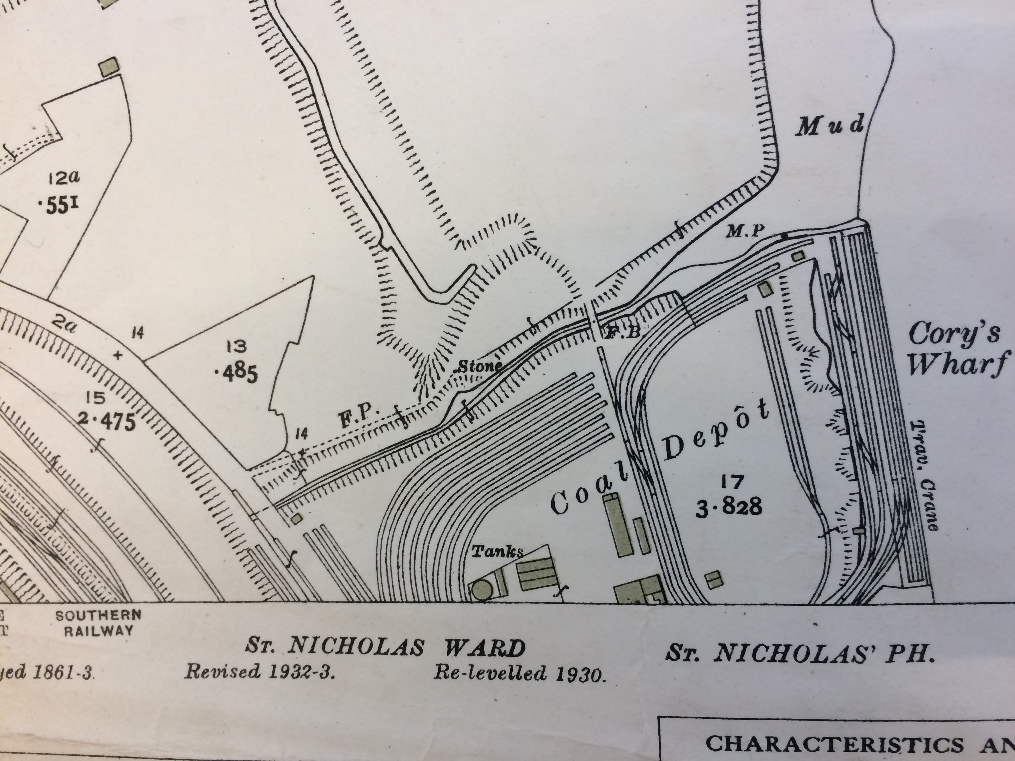
The five cranes were originally positioned along Cory’s Wharf on the far right hand side of the above OS Map of 1932


Detail of OS Map 1898 showing land prior to development as Cory’s Coal & Rail Depot & Wharf. Rochester Riverside Industry. Reproduced by Kind Permission of MALSC.

The earlier OS Map of 1898 records the same site some 30 years previously as Chatham Goods Yard. The site occupied by Cory’s Wharf is immediately below Blue Boar Pier along the HWMOT line.


Draft designs for granite or cast iron paving slabs. Rochester Riverside. Image: Christopher Tipping


Dunlin…A Salt Marsh Bird


‘The Medway Estuary is believed to be the most important area in North Kent for wintering wildfowl in numbers of international significance. The Saltmarsh serves as a roosting area for waders at high tide. Several scarce plant species include: golden samphire, perennial glasswort and one-flowered glasswort. The estuary is one of the best places in Britain for the study of glassworts. The grazing marsh has breeding and wintering birds of interest; the former include lapwing, redshank, pochard, mallard and gadwall, while in winter large flocks of may wildfowl and wader species are present.

Ref: Environmental Stresses and Resource Use in Coastal Urban and Peri Urban Regions. DPSIR Approach to SECOA’s 17 Case Studies.

These overwintering birds, along with thousands of others migrating or breeding species have been present on our site, however the numbers of Dunlin and other birds have undergone a decline, ostensibly to do with habitat loss and disturbance, which is of course of great concern.


UCA, Fort Pitt to Fort Amherst and the Great Lines

Napoleon & me at Fort Amherst, Chatham. Image:Christopher Tipping

Tuesday 8th September 2015 – University of the Creative Arts, Fort Pitt – the bigger picture

My wife Shelly Goldsmith is also my partner in tippinggoldsmith and a Lecturer in the School of Fashion – Textiles:Print at UCA Rochester. The University’s building sit on the site of Fort Pitt, which overlooks Chatham, Rochester and the Medway from a strategically high vantage point above the town.

I walked up to the site from Chatham Station, which is only 5mins walk away, passing by Dickens’ House on Ordnance Terrace on the way. I was allowed up onto the upper floors and the terrace, which offers spectacular views across Chatham and Rochester, the Medway and The Historic Dockyards beyond. This vantage point makes clear why Chatham developed as it did as a strategically important defensive site on the River.

Chatham Lines – comprising a number of impressive defensive structures, earthworks and Forts, developed since Napoleonic times to protect the Docks from a landward attack, are clearly visible in the landscape and although now long past any active role in the defence of the country, have served to shape the town and its inhabitants in both its topography, physical landscape and social history.

Chatham and the Historic Dockyard as seen from the upper floors of the University for the Creative Arts, Rochester Campus at Fort Pitt. Image:Christopher Tipping


Chatham and the Historic Dockyard as seen from the upper floors of the University for the Creative Arts, Rochester Campus at Fort Pitt. Image:Christopher Tipping

The copper green copula of the Brook Theatre, Chatham can be seen in the above image at the top right section of the image to the left of the red brick office clock Mountbatten House, the dominant landmark in the Town.

Chatham and the Historic Dockyard as seen from the upper floors of the University for the Creative Arts, Rochester Campus at Fort Pitt. Image:Christopher Tipping
Chatham Waterfront and Gun Wharf as seen from Sun Pier. Image:Christopher Tipping

Sun Pier and Sun Pier House, Chatham. 

Chatham Waterfront and Gun Wharf as seen from Sun Pier. Image:Christopher Tipping

The Waterfront Pumping Station and Brook Theatre as seen from Sun Pier, Chatham. If ever something cried out for some form of intervention – then the Pumping Station takes poll position on the list. An eyesore on the waterfront, it could become an icon and focal point.

Sun Pier, Chatham with warning sign. Image:Christopher Tipping
The empty timber deck of Sun Pier, Chatham. Image:Christopher Tipping

Although historically, the waterfront and area around Sun Pier would have been dominated by warehouses and river bases businesses. The industrial shed which houses Staples, does the site and its potential no favours here. Some softening landscape works and green screening may help.

Historic kerbs, Chatham. Image:Christopher Tipping

Walking back from Sun Pier to the Waterfront and Bus Station, these historic granite kerbs and cobbles jump out for their simplicity, texture and purpose.

I wanted to see the town from the opposite vantage point of Fort Amherst adjacent to Great Lines Park , formerly known as the Field of Fire , so walked across to the Brook Theatre and beyond to the Town Hall Gardens, the former Town Burial Ground. Prior to 1828, the site was a former Rope Works.

The Brook Theatre, Chatham. Image:Christopher Tipping
Decorative wrought ironwork gates inside the Brook Theatre, Chatham. Image:Christopher Tipping
The gates to the Town Hall Gardens, Chatham. Image:Christopher Tipping

Just a short walk further up the hill is the path and steps leading up to the Great Lines Park and Fort Amherst.

Several steep fights of steps meet the visitor to the Great Lines Heritage Park and Fort Amherst, Chatham. Image:Christopher Tipping
The Napoleonic brick faced defensive structures of Fort Amherst, Chatham. Image:Christopher Tipping
Fort Amherst Signage, Chatham. Image:Christopher Tipping
A detail of the Fort Amherst Signage found at Great Lines Park, Chatham. Image:Christopher Tipping
A view of the University for the Creative Arts at Fort Pitt, Rochester, taken from Belvedere Battery, Fort Amherst, Chatham. Image:Christopher Tipping

UCA at Fort Pitt is at top centre of this image. The copper green copula of the Brook Theatre is at the centre bottom.

The pedestrian route from Chatham Railway Station to The Paddock and Bus Station can be made out in this image taken from Belvedere Battery, Fort Amherst, Chatham. Image:Christopher Tipping
The pedestrian route from Chatham Railway Station to The Paddock and Bus Station can be made out in this annotated image taken from Belvedere Battery,  Fort Amherst, Chatham. Image:Christopher Tipping
The pedestrian route from Chatham Railway Station to The Paddock and Bus Station can be made out in this annotated image taken from Belvedere Battery, Fort Amherst, Chatham. Image:Christopher Tipping

in the afternoon I also paid a visit to Chatham Library, which is housed in the Chatham Community Hub, at Gun Wharf – near The Waterfront.

They have a brilliant book on Chatham and it’s history – “The Story of a Dockyard Town” by James Presnail, published by the Corporation of Chatham in 1952 MCMLII. Ref:942.23 CHA. I was much taken by it’s last paragraph on social responsibility.


Chatham Research Visit 2 – a clearer vision

Thursday 3rd September 2015 – Chatham Research Visit No 2 – A clearer vision…

Chatham is making more sense ! – the topography here is incredibly helpful in aiding navigation around the town. Geography, topography and the particular curve of the River Medway provided the strategic advantage which led to the exponential growth of the Docks and town from the early part of the 18th Century. The day today was clearer and brighter – unlike my first visit when it poured down all day – this really makes a considerable difference! Still walking as much as possible – by far the best way of getting to grips with a place – today I went as far as Strood, via Rochester and visited the Medway Archives and Local Studies Centre.

The following images again trace the pedestrian route from the Rail Station to the Waterfront.

Chatham Railway Station -  Image:Christopher Tipping
Chatham Railway Station –
Image:Christopher Tipping
A short walk from Chatham Railway Station and in clear view from the station entrance is Ordnance Terrace and the house where Charles Dickens lived for several years as a small boy. Image:Christopher Tipping
Chatham Railway Station and Railway Street looking from Ordnance Terrace. Image:Christopher Tipping

At the centre of the image, the Viaduct with New Road can be clearly seen, as can the tower of St John’s Church and the red brick monolith of Mountbatten House on Military Street, adjacent to the new Bus Station.

A wide panoramic shot of Chatham Railway Station and Railway Street from Ordnance Terrace. Image:Christopher Tipping
Pedestrians walking up to Chatham Rail Station along Railway Street. Image:Christopher Tipping
The roads around the Railway Station and Railway Street are heavily trafficked by cars, buses and lorries, making for a poor pedestrian experience. Image:Christopher Tipping
A view from the Viaduct over Railway Street looking towards the Railway Station and the Alexandra Hotel. The older image is circa 1905.  Image:Christopher Tipping
A view from the Viaduct over Railway Street looking towards the Railway Station and the Alexandra Hotel. The older image is circa 1905. Image:Christopher Tipping
The Alexandra Hotel at 53 Railway Street, Chatham has stood on this site for over a Century. Image:Christopher Tipping
The statue of Thomas Fletcher Waghorn was raised on Railway Street, Chatham in 1888. Image:Christopher Tipping

Thomas Fletcher Waghorn (1800–1850), whose statue stands in Chatham, Kent, was a postal pioneer who developed a new route from Great Britain to India. Waghorn’s route reduced the journey from 16,000 miles, via the Cape of Good Hope to 6,000 miles: from three months to between 35 and 45 days. Waghorn was born in Chatham, England, and baptised at St Mary’s Church on 16 July 1800″. Wikipedia

Interestingly, Thomas appears to be pointing the way to the Town Centre and Waterfront to pedestrians coming down from the Rail Station. Good man ! –

The Viaduct over Railway Street, Chatham, with detailed ironwork balustrade. Image: Christopher Tipping
A view from the Viaduct over Railway Street, Chatham, with a detailed view through the ironwork balustrade. Image: Christopher Tipping


Shadows cast by the cast iron balustrade of the Viaduct over Railway Street, Chatham. Image: Christopher Tipping
A panoramic view of Gibralter Hill and Railway Street, Chatham, looking up to wards the Railway Station. Image:Christopher Tipping
On the New Road Viaduct over Railway Street, Chatham, looking to wards the Waterfront. Image:Christopher Tipping
On the New Road Viaduct over Railway Street, Chatham, looking down Railway Street towards St John's Church on the left and the Town Centre. Image:Christopher Tipping
On the New Road Viaduct over Railway Street, Chatham, looking down Railway Street towards St John’s Church on the left and the Town Centre. Image:Christopher Tipping
A view from the New Road Viaduct over Railway Street, Chatham, looking down  towards St John's Church and the Town Centre. Image:Christopher Tipping
A view from the New Road Viaduct over Railway Street, Chatham, looking down towards St John’s Church and the Town Centre. Image:Christopher Tipping
The junction of Waterfront Way with the A2 at St John's Church, Chatham, where the highway has been punched through Railway Street, creates a hostile zone for pedestrians and effectively cuts off the lower part of Railway Street and the Town Centre, from the upper section and the Railway Station. Image:Christopher Tipping
The junction of Waterfront Way with the A2 at St John’s Church, Chatham, where the highway has been punched through Railway Street, creates a hostile zone for pedestrians and effectively cuts off the lower part of Railway Street and the Town Centre, from the upper section and the Railway Station. Image:Christopher Tipping
Where Railway Street is dissected by the A2 by St Joh's Church in Chatham, pedestrians have to navigate a complex & carbuncle-like step/ramp/concrete barrier arrangement to gain access to and from lower Railway Street and the retail centre of the town. Image:Christopher Tipping
Where Railway Street is dissected by the A2 by St Joh’s Church in Chatham, pedestrians have to navigate a complex & carbuncle-like step/ramp/concrete barrier arrangement to gain access to and from lower Railway Street and the retail centre of the town. Image:Christopher Tipping
Wrought iron gates remain intact at the courtyard entrance to the old Post Office Building on lower Railway Street, Chatham. The building is a handsome addition to the fabric of the street, but is currently empty. Image:Christopher Tipping
The retail units along the lower section of Railway Street, Chatham, appear busy and animated. The streetscape is abruptly interrupted and stifled by the A2 cutting and awkward steps, ramps and concrete wall. Image:Christopher Tipping

Architectural text and detailing on the upper stories of extant buildings along Railway Street, provide clues to the rich legacy of activity and usage in the area.

The lower section of Military Road, Chatham ought to be a highly activated, fluid, dynamic and versatile public space with the Brook Theatre as the anchor building and focus.  Unfortunately the space is a dead zone, underused and slightly unsettling. Image:Christopher Tipping
The lower section of Military Road, Chatham ought to be a highly activated, fluid, dynamic and versatile public space with the Brook Theatre as the anchor building and focus. Unfortunately the space is a dead zone, underused and slightly unsettling. Image:Christopher Tipping
A panoramic image of the lower section of Military Road, Chatham, which ought to be a highly activated, fluid, dynamic and versatile public space with the Brook Theatre as the anchor building and focus along with the adjacent Bus Station. Unfortunately the space is something of a dead zone, underused and slightly unsettling. Image:Christopher Tipping


Chatham Research Project – first contact !

Visit 1 – Tuesday August 25th 2015 –


In early August this year I was commissioned by FrancisKnight Art Consultants  and Medway Council to identify and scope creative public realm opportunities within the strategic Chatham Placemaking Project, which is being delivered by LDA Design.

“FrancisKnight have been appointed to work with LDA DESIGN and Medway Council on the Chatham Placemaking Project and in particular producing a creative public realm strategy to enhance the proposals and to add a sense of place and purpose to the spaces.

 At the heart of the Thames Gateway, only 30 miles from central London, Medway is the largest conurbation between the capital and continental Europe. A modern place with green spaces and a superb quality of life, close to breathtaking countryside, the area has a young and culturally diverse population.

 Chatham is located at the heart of Medway, with a population of 264,900 people living in the urban area in 2013. The area is world famous for its historic naval dockyard, and has also been a strategic centre for trade”.

This is a short term consultancy for me, which focuses particularly on the pedestrian route between Chatham Railway Station and The Waterfront, Chatham, via Railway Street and Military Road. This route leads on towards the Historic Dockyard Chatham – which is the subject of a World Heritage Bid –

I had up till this point never been to Chatham!  I know of Chatham via Dickens and Pepys – as well as having looked at the Historic Dockyards online ! I have passed through the Medway Towns many times on the train between Ramsgate and London, which does not really help frame a complete & honest image of the town.

This is a small sample of the visual record I made of my first visit in response to the project brief –


Chatham Railway Station.  Image:Christopher Tipping
Chatham Railway Station.
Image:Christopher Tipping
Chatham Railway Station, Kent.  Image:Christopher Tipping
Chatham Railway Station, Kent. Image:Christopher Tipping
Chatham Railway Station approaches. Image:Christopher Tipping

As you leave the Station  and turn left, this leads you, via Railway Street towards the Town Centre and The Waterfront – however this route is a difficult one to navigate – if you know the town, then various landmarks map this out for you, but for a visitor, the experience is confusing and not for the faint hearted. The first 100m of this route, the car is certainly King – much to the detriment (& risk) of the pedestrian!

Railway Street, Chatham,  Kent. The same view -   Image:Christopher Tipping
Railway Street, Chatham, Kent. The same view – Image:Christopher Tipping
Railway Street, Chatham,  Kent. Image:Christopher Tipping
Railway Street, Chatham, Kent. Image:Christopher Tipping

This view looks down Railway Street towards the Town Centre with the red brick edifice of Mountbatten House  dominating the centre view.

Railway Street, Chatham,  Kent. Looking up towards the Train Station through the Viaduct, which replaced the original Old Viaduct of 1794, which was referred to as a 'defensive'  gateway.   Image:Christopher Tipping
Railway Street, Chatham, Kent. Looking up towards the Train Station through the Viaduct, which replaced the original Old Viaduct of 1794, which was referred to as a ‘defensive’ gateway. Image:Christopher Tipping
St John the Divine Church, Railway Street. Built in 1820/21 & closed in 1998. Image:Christopher Tipping


Railway Steet was split into two sections with Waterfront Way connecting to the A2. This created issues with pedestrian flow and connectivity. Image:Christopher Tipping
Railway Street, Chatham, looking towards the Town Centre from St John's Church. Image:Christopher Tipping
Railway Street, Chatham, looking towards the Town Centre from St John’s Church. Image:Christopher Tipping
Railway Street, Chatham, looking towards the Town Centre from St John's Church. Image:Christopher Tipping
Railway Street, Chatham, looking towards the Town Centre from St John’s Church. Image:Christopher Tipping
A variety of great buildings still extant on Railway Street. Image:Christopher Tipping
The 'Prince of Wales' Public House on the lower part of Railway Street, Chatham. Image:Christopher Tipping
The ‘Prince of Wales’ Public House on the lower part of Railway Street, Chatham. Image:Christopher Tipping
Two views along Military Road, Chatham, which is dominated by the red brick office block on the right hand side - Mountbatten House and the Pentagon Shopping Centre. At the far end of the long view is the beautiful Brook Theatre, the former Town Hall. Image:Christopher Tipping
Two views along Military Road, Chatham, which is dominated by the red brick office block on the right hand side – Mountbatten House and the Pentagon Shopping Centre. At the far end of the long view is the beautiful Brook Theatre, the former Town Hall. Image:Christopher Tipping
A wide view at the lower end of Military Road looking towards the Brook Theatre and the New Bus Station. Image:Christopher Tipping
A wide view at the lower end of Military Road looking towards the new Bus Station and Waterfront. Image:Christopher Tipping
Walking from the Bus Station towards The Pentagon Shopping Centre and Military Road, Chatham. Image:Christopher Tipping
The main pedestrian crossing point towards the Bus Station & Pumping Station. Image:Christopher Tipping
Chatham Waterfront Pumping Station and Big Screen, Chatham. Image:Christopher Tipping
The Pumping Station appears to divide two distinct landscapes along the river frontage. Top - looking left of the Pumping Station. Bottom - looking right of the Pumping Station. Image:Christopher Tpping
The Pumping Station appears to divide two distinct landscapes along the river frontage. Top – looking left of the Pumping Station. Bottom – looking right of the Pumping Station. Image:Christopher Tpping
The local population on the river below the Pumping Station. Image:Christopher Tipping
The local population sit on railings along the waterfront,  Chatham. Image:Christopher Tipping
The local population sit on railings along the waterfront, Chatham. Image:Christopher Tipping
The new Bus Station looking towards Mountbatten House. Image:Christopher Tipping
The Paddock, which is green space between the Bus Station, Mountbatten House and the Pentagon Shopping Centre. Image:Christopher Tipping
Brook Theatre, Chatham, the former Chatham Town Hall. Image:Christopher Tipping