I had an appointment to meet the archivist at MALSC to review their photographic collection – particularly in regard to Railway Street and Military Street. I took a number of digital images from old photographs, but will require permission to post them on the blog. Hopefully, I can do this in due course.
Old OS Maps of the area were of particular interest as these obviously mapped out – some in great detail – large areas of the site where building had been lost during ‘development’ and / or razed to the ground by fire or neglect. Again – watch this space as i hope to post these images too.
Of particular interest were the OS 1848 Board of Health Map and the 1843 Tithe Map.
Thursday 3rd September 2015 – Chatham Research Visit No 2 – A clearer vision…
Chatham is making more sense ! – the topography here is incredibly helpful in aiding navigation around the town. Geography, topography and the particular curve of the River Medway provided the strategic advantage which led to the exponential growth of the Docks and town from the early part of the 18th Century. The day today was clearer and brighter – unlike my first visit when it poured down all day – this really makes a considerable difference! Still walking as much as possible – by far the best way of getting to grips with a place – today I went as far as Strood, via Rochester and visited the Medway Archives and Local Studies Centre.
The following images again trace the pedestrian route from the Rail Station to the Waterfront.
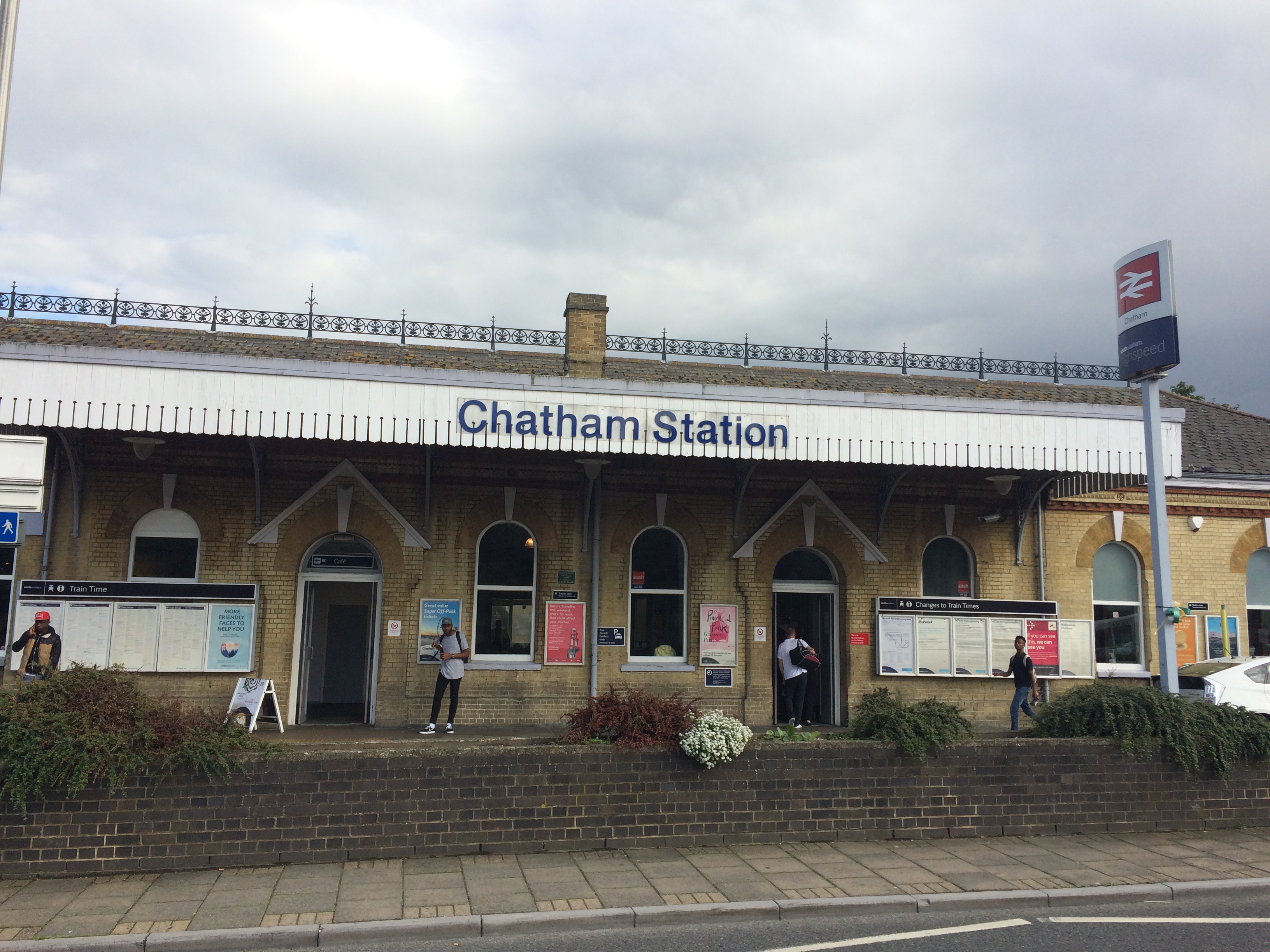
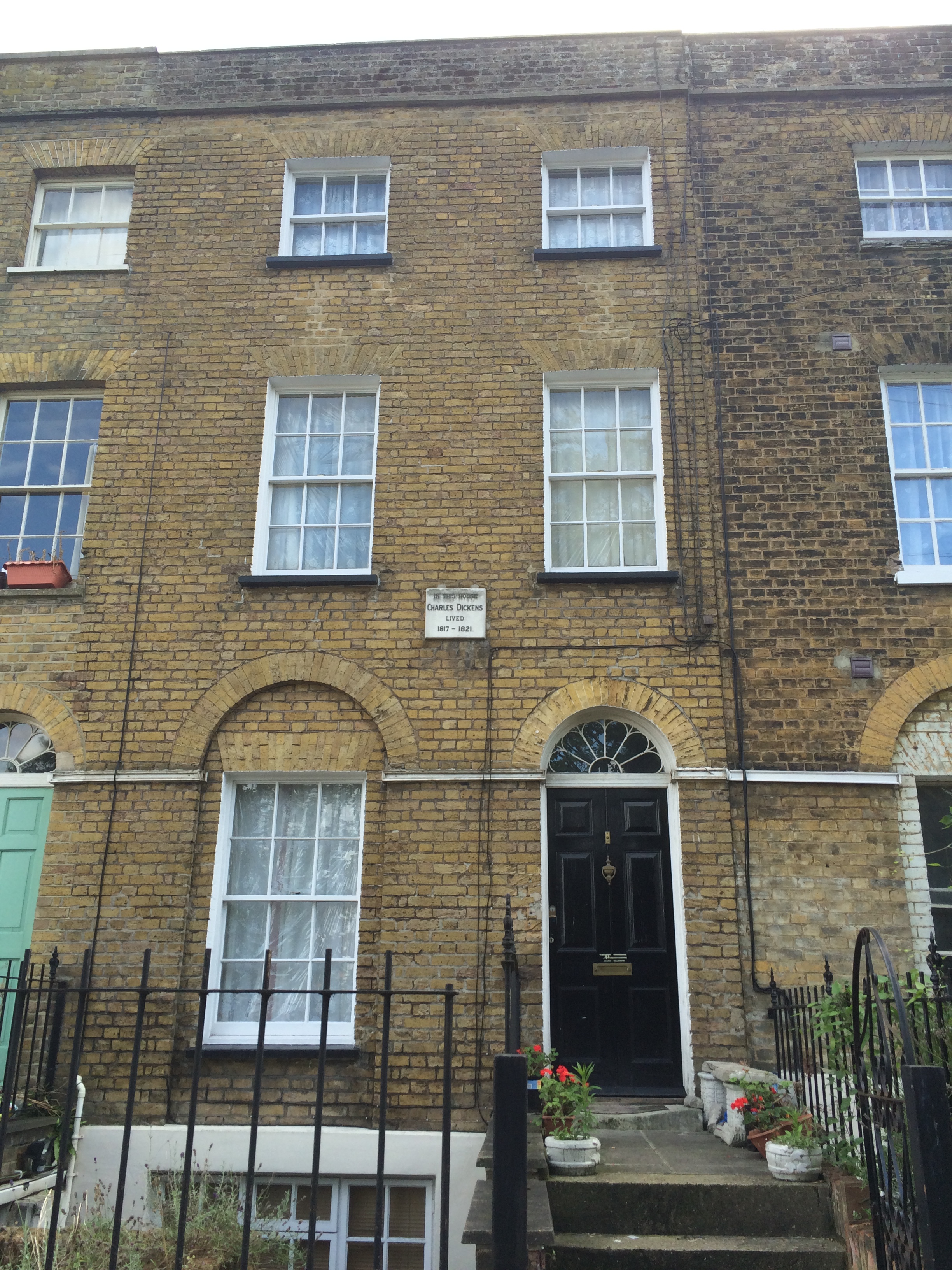
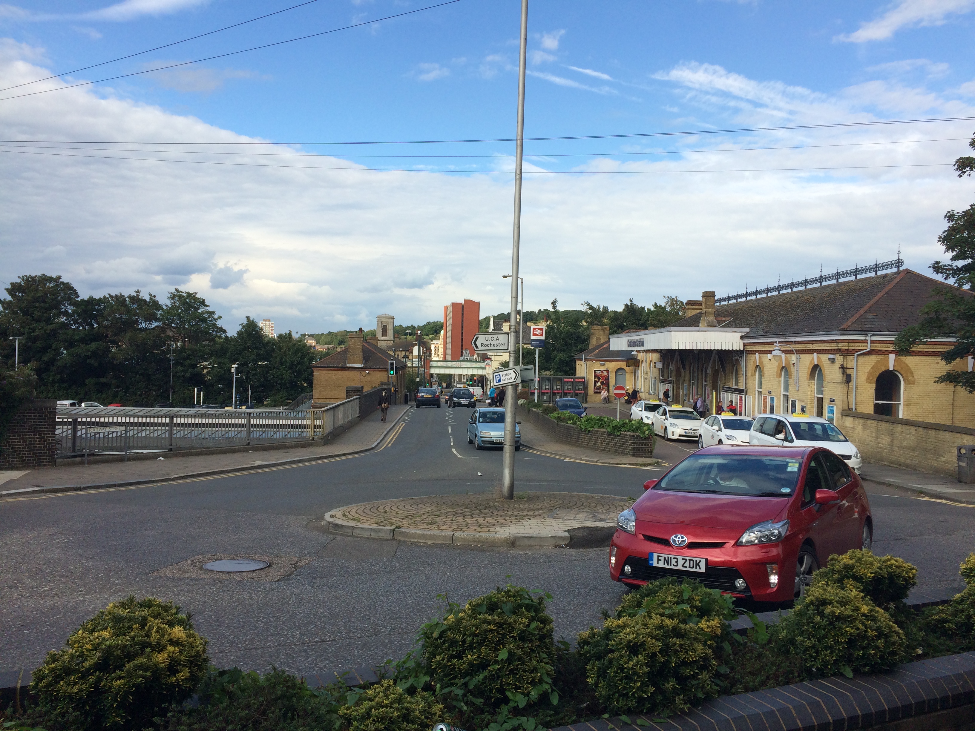
Chatham Railway Station – Image:Christopher TippingA short walk from Chatham Railway Station and in clear view from the station entrance is Ordnance Terrace and the house where Charles Dickens lived for several years as a small boy. Image:Christopher TippingChatham Railway Station and Railway Street looking from Ordnance Terrace. Image:Christopher Tipping
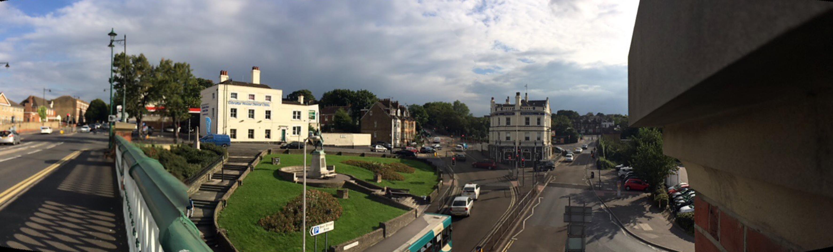
At the centre of the image, the Viaduct with New Road can be clearly seen, as can the tower of St John’s Church and the red brick monolith of Mountbatten House on Military Street, adjacent to the new Bus Station.
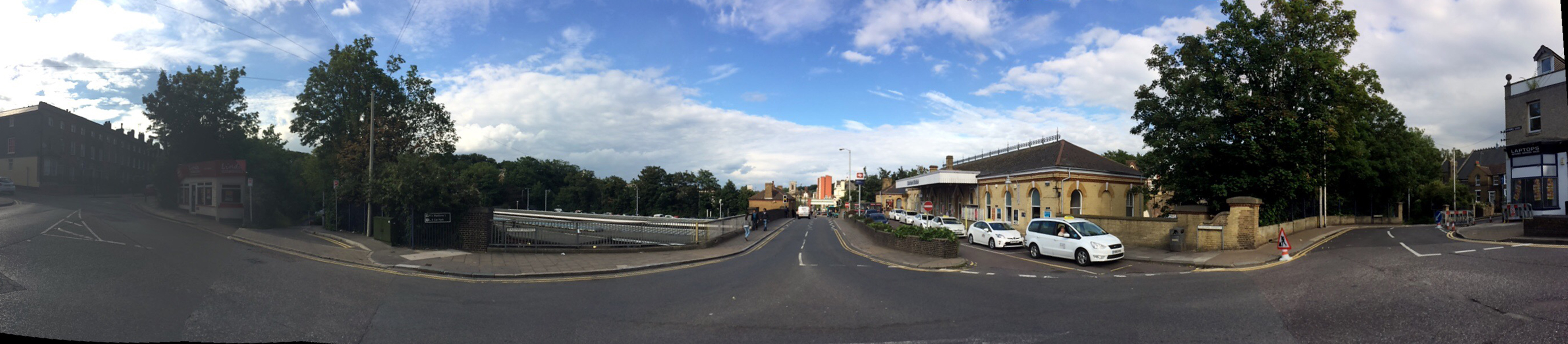
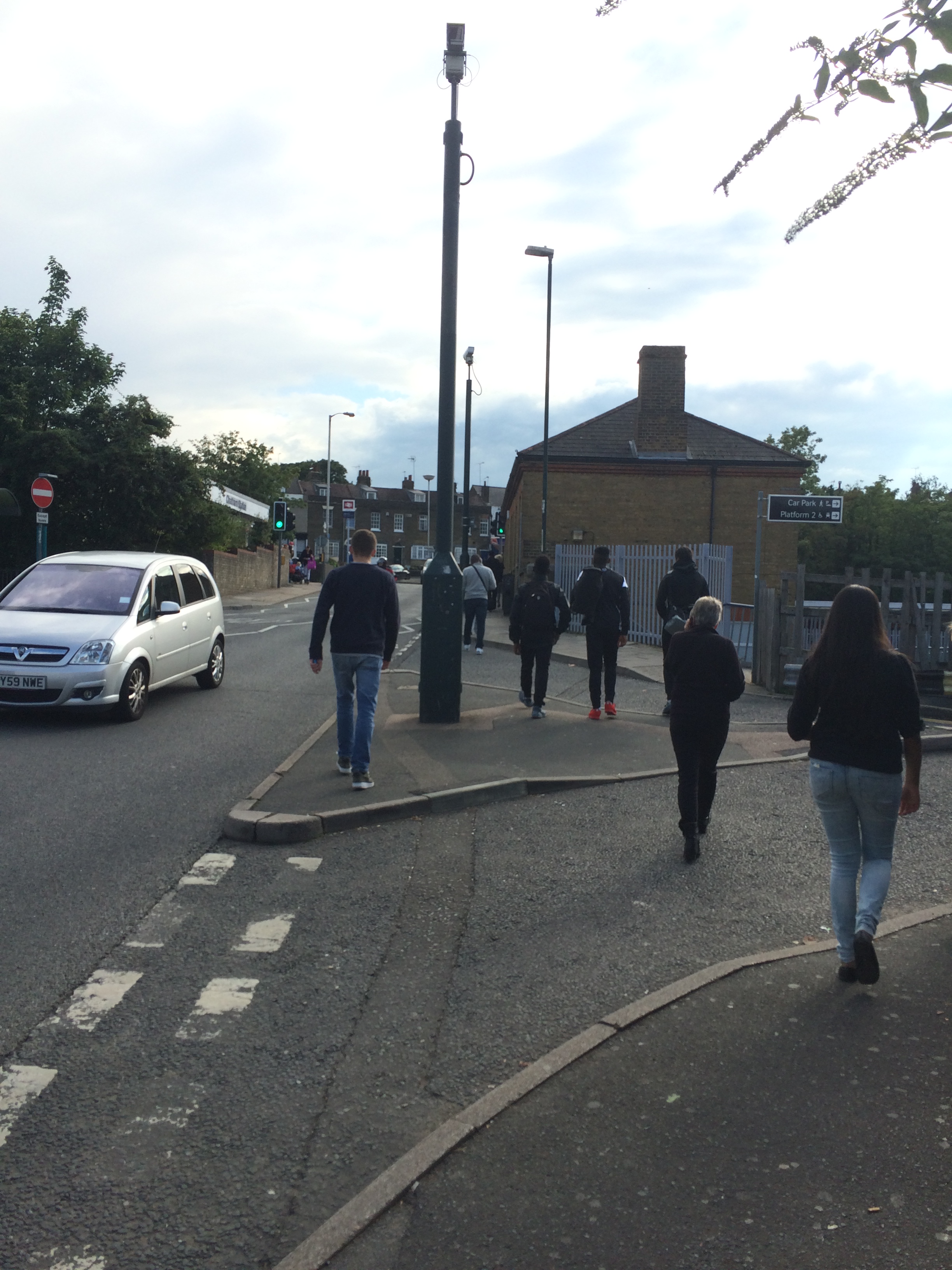
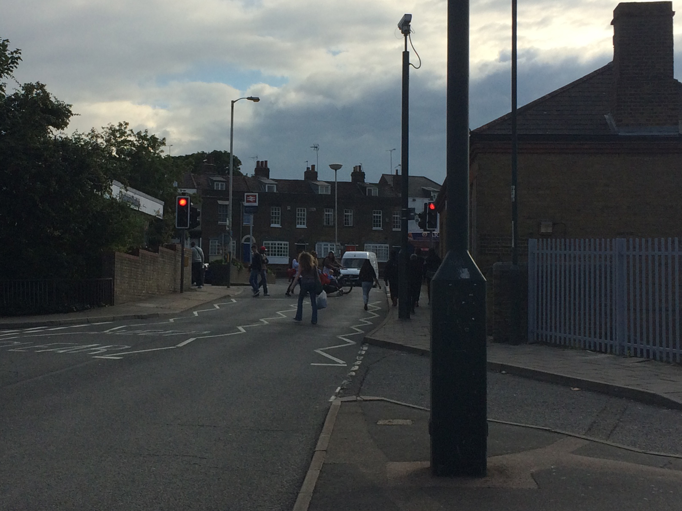
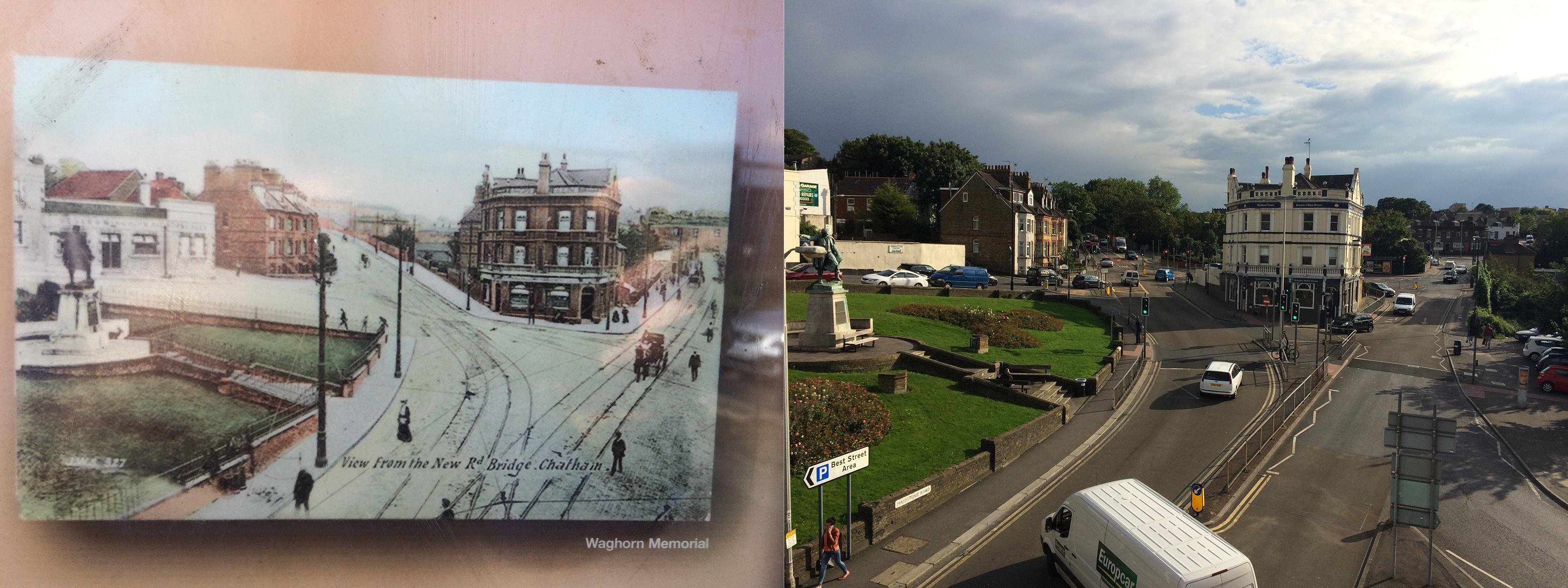
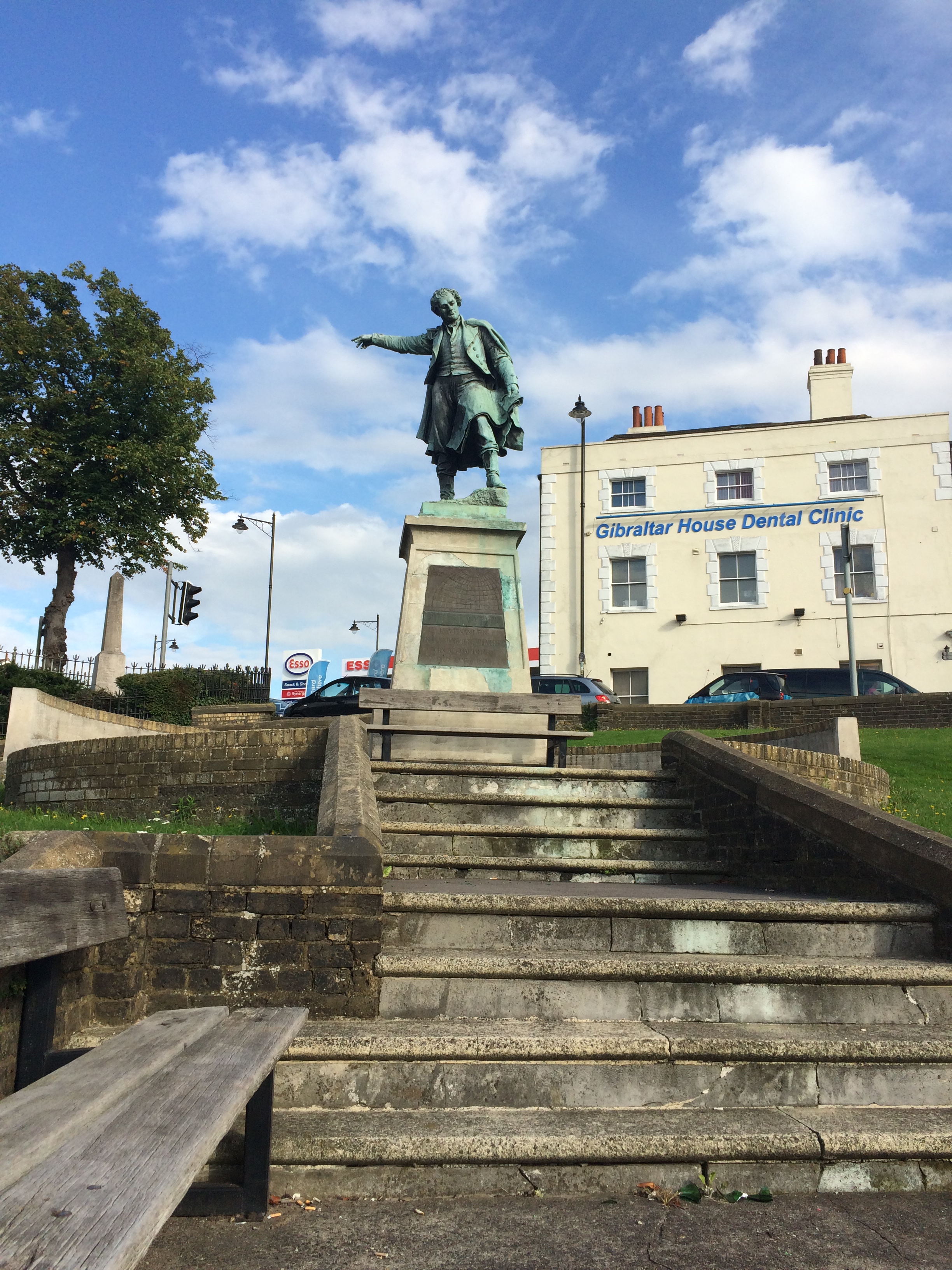
A wide panoramic shot of Chatham Railway Station and Railway Street from Ordnance Terrace. Image:Christopher TippingPedestrians walking up to Chatham Rail Station along Railway Street. Image:Christopher TippingPedestrians walking up to Chatham Rail Station along Railway Street. Image:Christopher TippingThe roads around the Railway Station and Railway Street are heavily trafficked by cars, buses and lorries, making for a poor pedestrian experience. Image:Christopher TippingA view from the Viaduct over Railway Street looking towards the Railway Station and the Alexandra Hotel. The older image is circa 1905. Image:Christopher TippingThe Alexandra Hotel at 53 Railway Street, Chatham has stood on this site for over a Century. Image:Christopher TippingThe statue of Thomas Fletcher Waghorn was raised on Railway Street, Chatham in 1888. Image:Christopher Tipping
“Thomas Fletcher Waghorn (1800–1850), whose statue stands in Chatham, Kent, was a postal pioneer who developed a new route from Great Britain to India. Waghorn’s route reduced the journey from 16,000 miles, via the Cape of Good Hope to 6,000 miles: from three months to between 35 and 45 days.Waghorn was born in Chatham, England, and baptised at St Mary’s Church on 16 July 1800″. Wikipedia
Interestingly, Thomas appears to be pointing the way to the Town Centre and Waterfront to pedestrians coming down from the Rail Station. Good man ! –
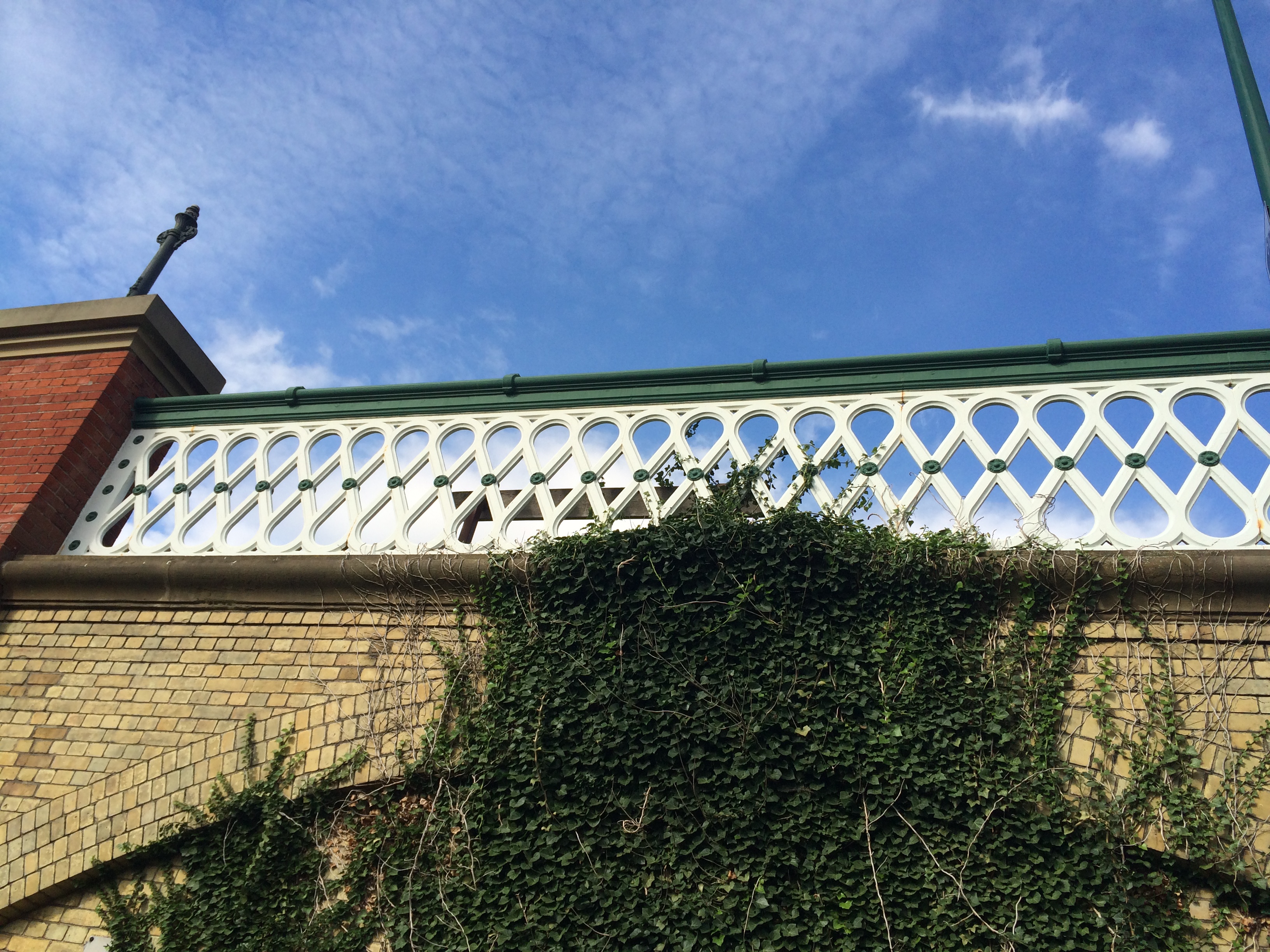
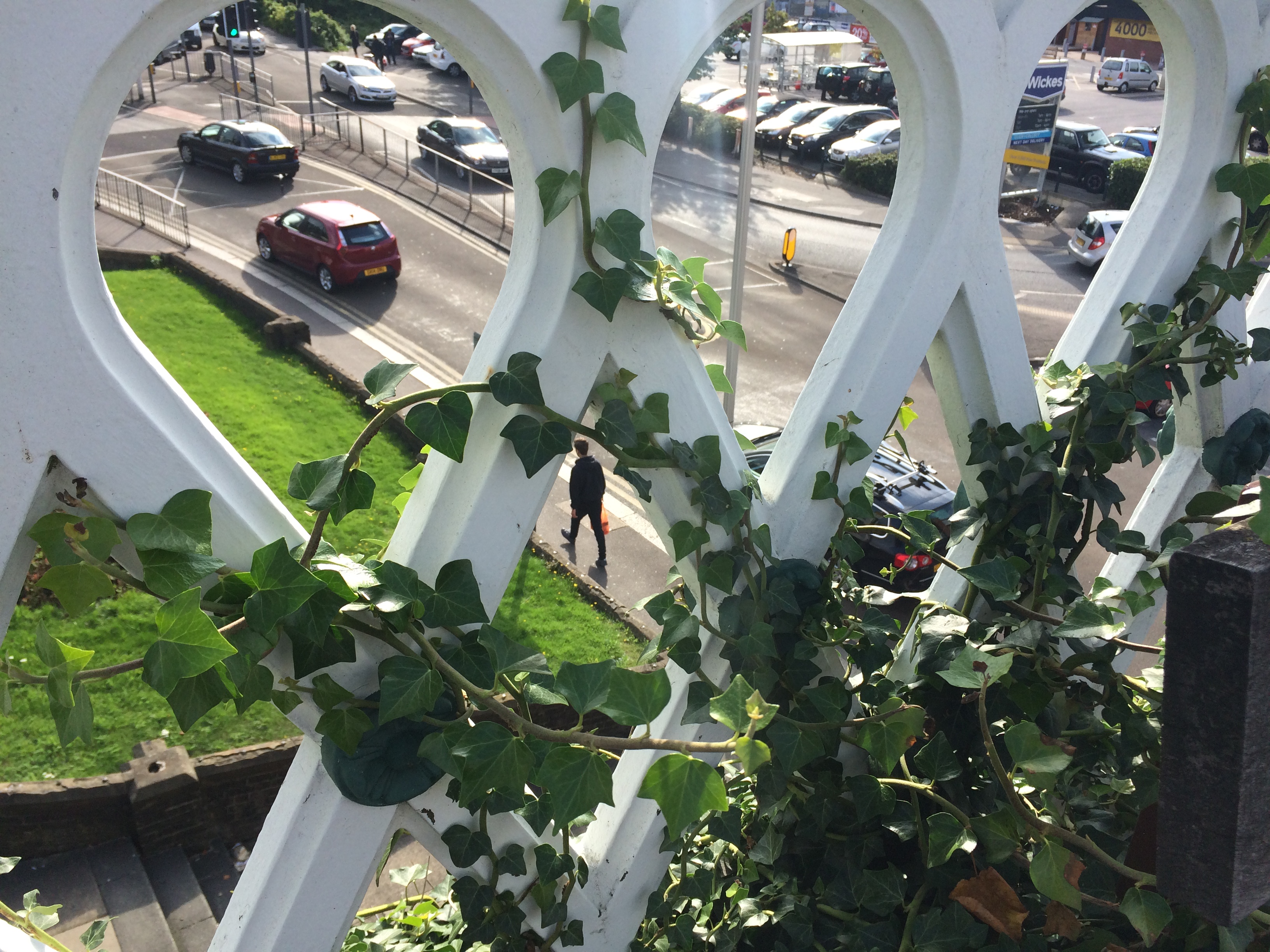
The Viaduct over Railway Street, Chatham, with detailed ironwork balustrade. Image: Christopher TippingA view from the Viaduct over Railway Street, Chatham, with a detailed view through the ironwork balustrade. Image: Christopher Tipping
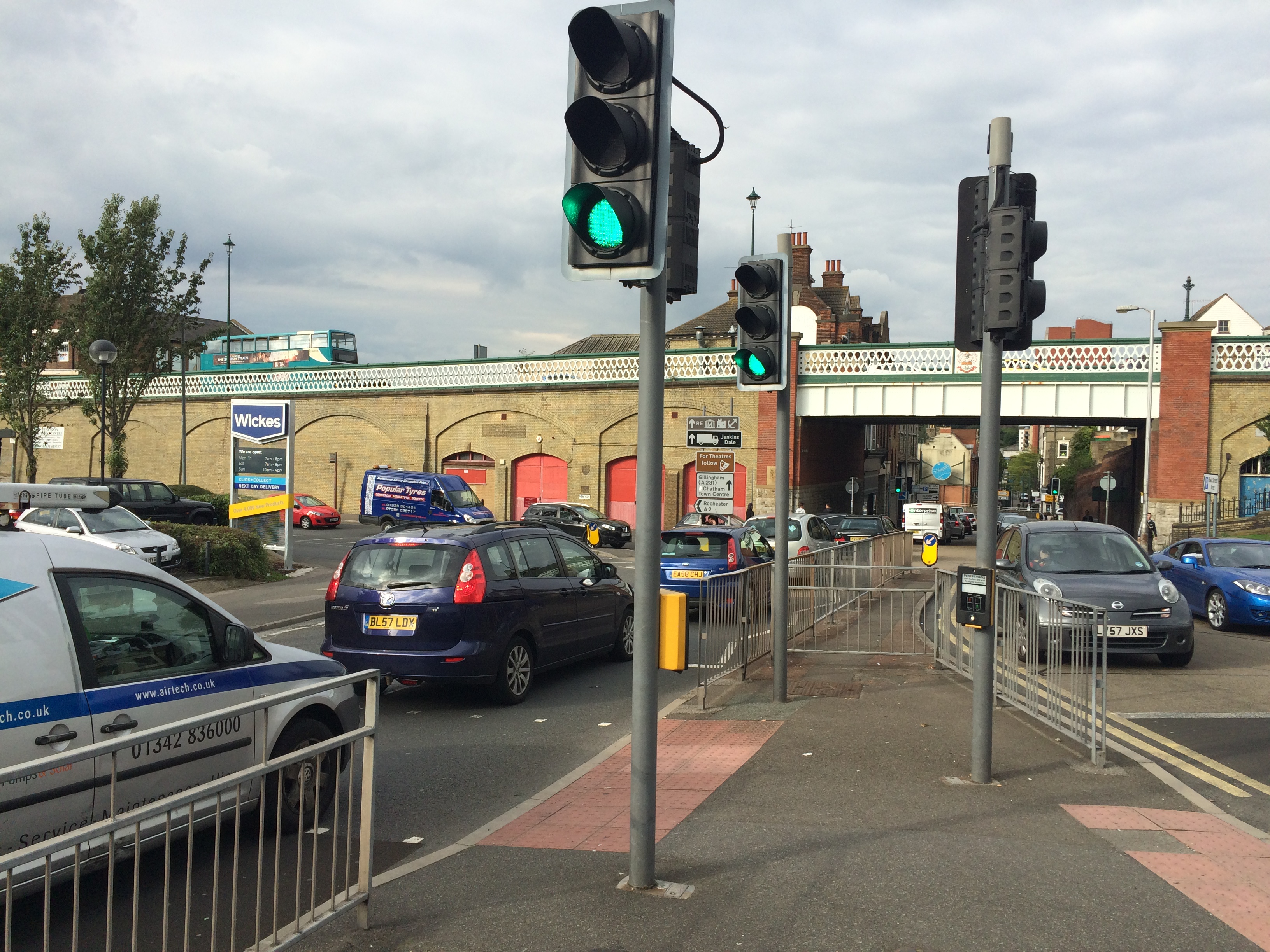
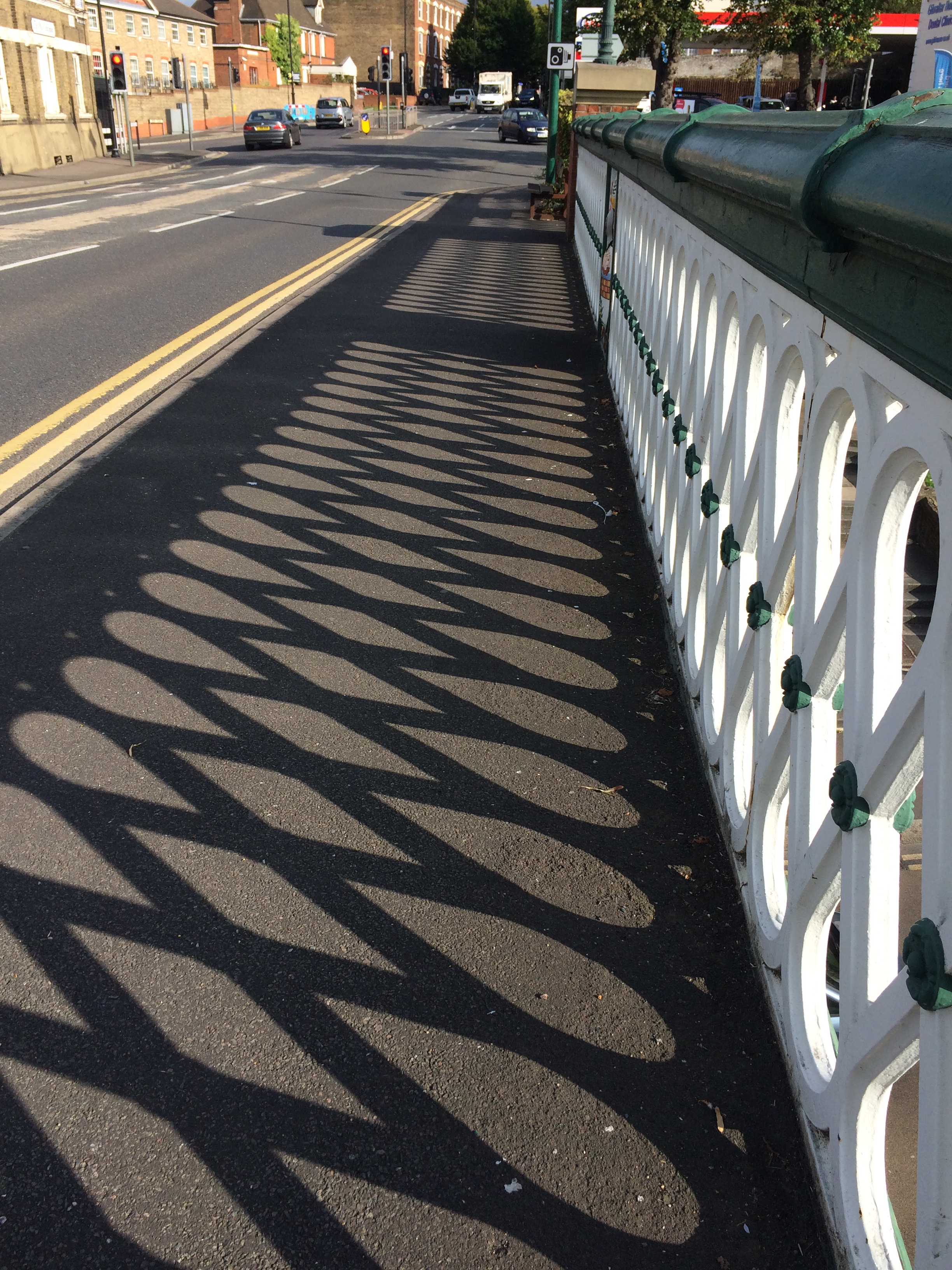
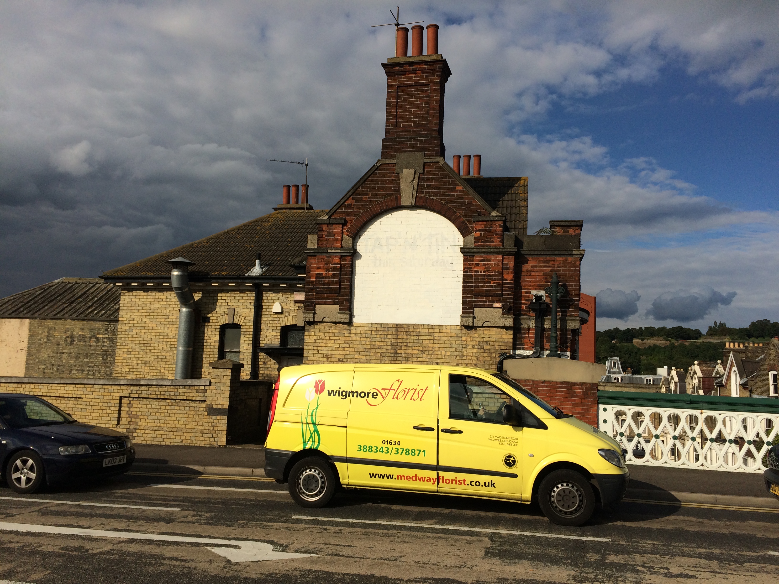
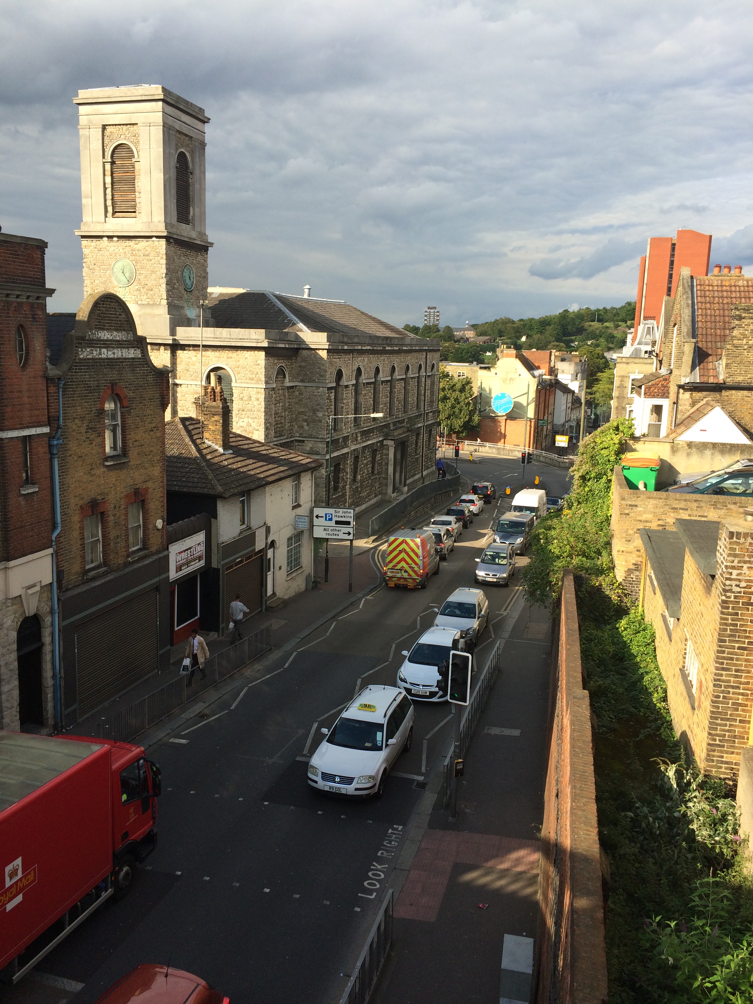
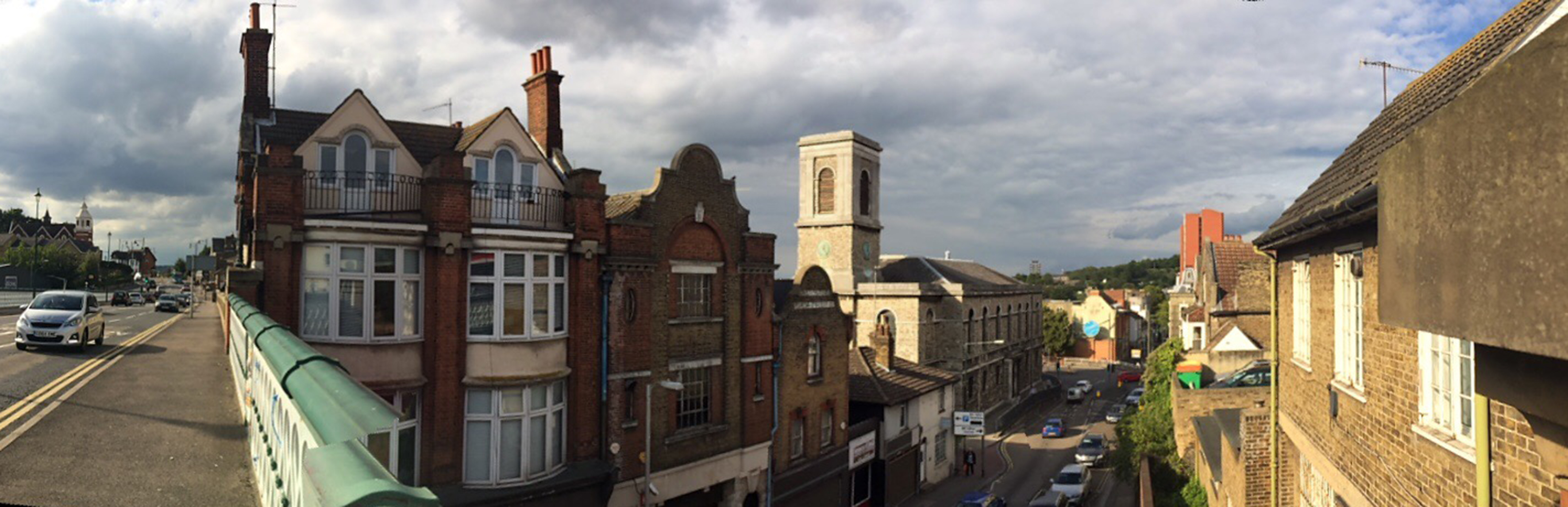
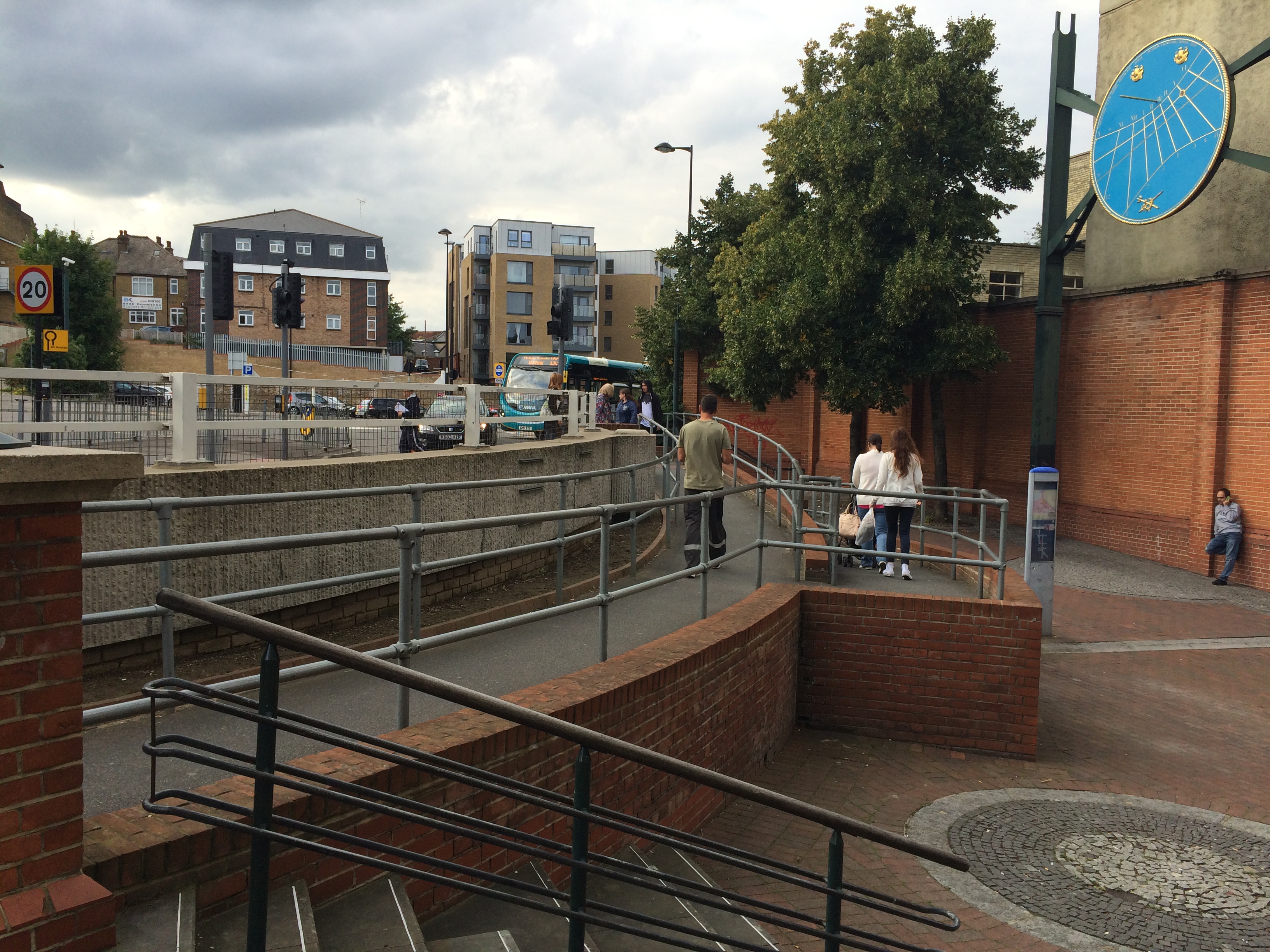
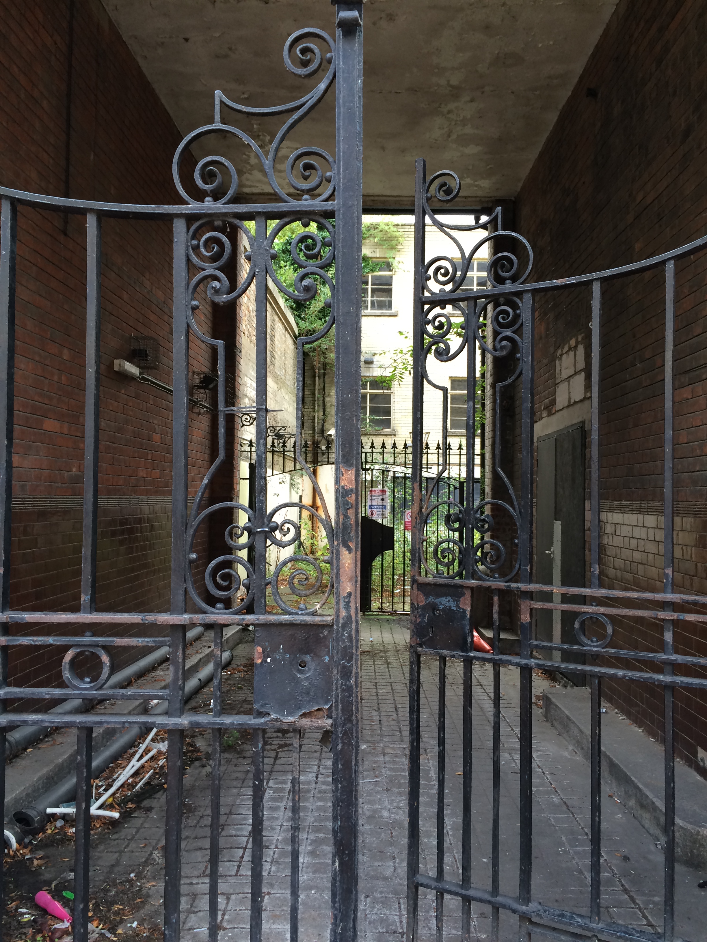
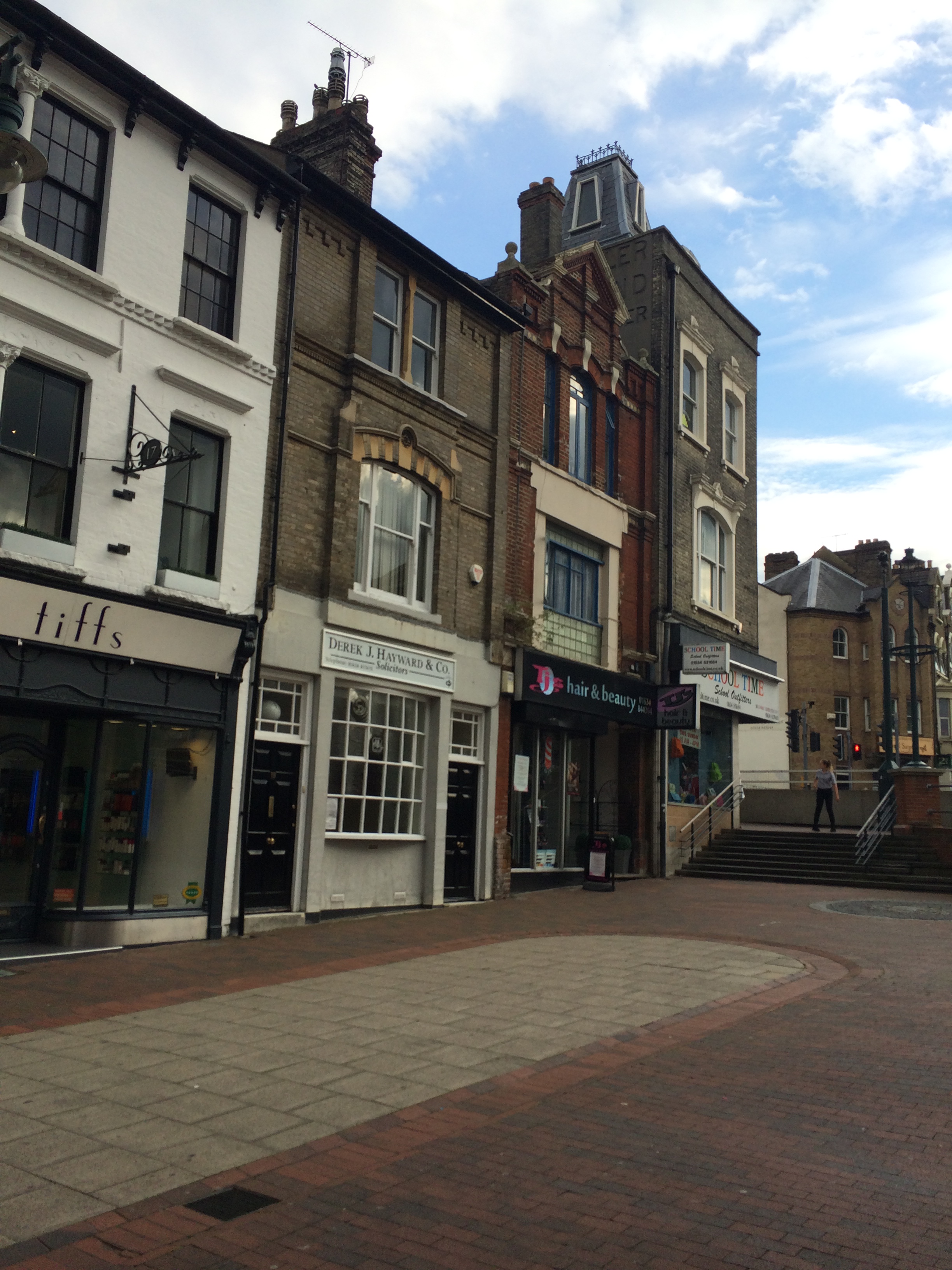
Shadows cast by the cast iron balustrade of the Viaduct over Railway Street, Chatham. Image: Christopher TippingA panoramic view of Gibralter Hill and Railway Street, Chatham, looking up to wards the Railway Station. Image:Christopher TippingOn the New Road Viaduct over Railway Street, Chatham, looking to wards the Waterfront. Image:Christopher TippingOn the New Road Viaduct over Railway Street, Chatham, looking down Railway Street towards St John’s Church on the left and the Town Centre. Image:Christopher TippingA view from the New Road Viaduct over Railway Street, Chatham, looking down towards St John’s Church and the Town Centre. Image:Christopher TippingThe junction of Waterfront Way with the A2 at St John’s Church, Chatham, where the highway has been punched through Railway Street, creates a hostile zone for pedestrians and effectively cuts off the lower part of Railway Street and the Town Centre, from the upper section and the Railway Station. Image:Christopher TippingWhere Railway Street is dissected by the A2 by St Joh’s Church in Chatham, pedestrians have to navigate a complex & carbuncle-like step/ramp/concrete barrier arrangement to gain access to and from lower Railway Street and the retail centre of the town. Image:Christopher TippingWrought iron gates remain intact at the courtyard entrance to the old Post Office Building on lower Railway Street, Chatham. The building is a handsome addition to the fabric of the street, but is currently empty. Image:Christopher TippingThe retail units along the lower section of Railway Street, Chatham, appear busy and animated. The streetscape is abruptly interrupted and stifled by the A2 cutting and awkward steps, ramps and concrete wall. Image:Christopher Tipping
Architectural text and detailing on the upper stories of extant buildings along Railway Street, provide clues to the rich legacy of activity and usage in the area.
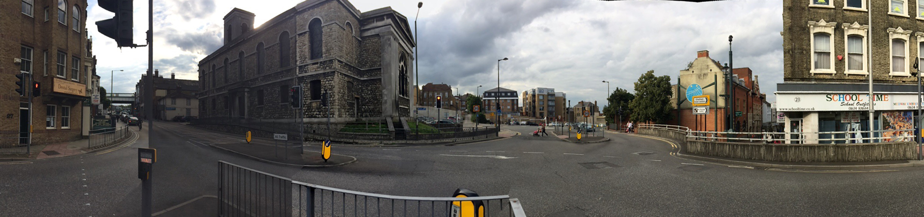
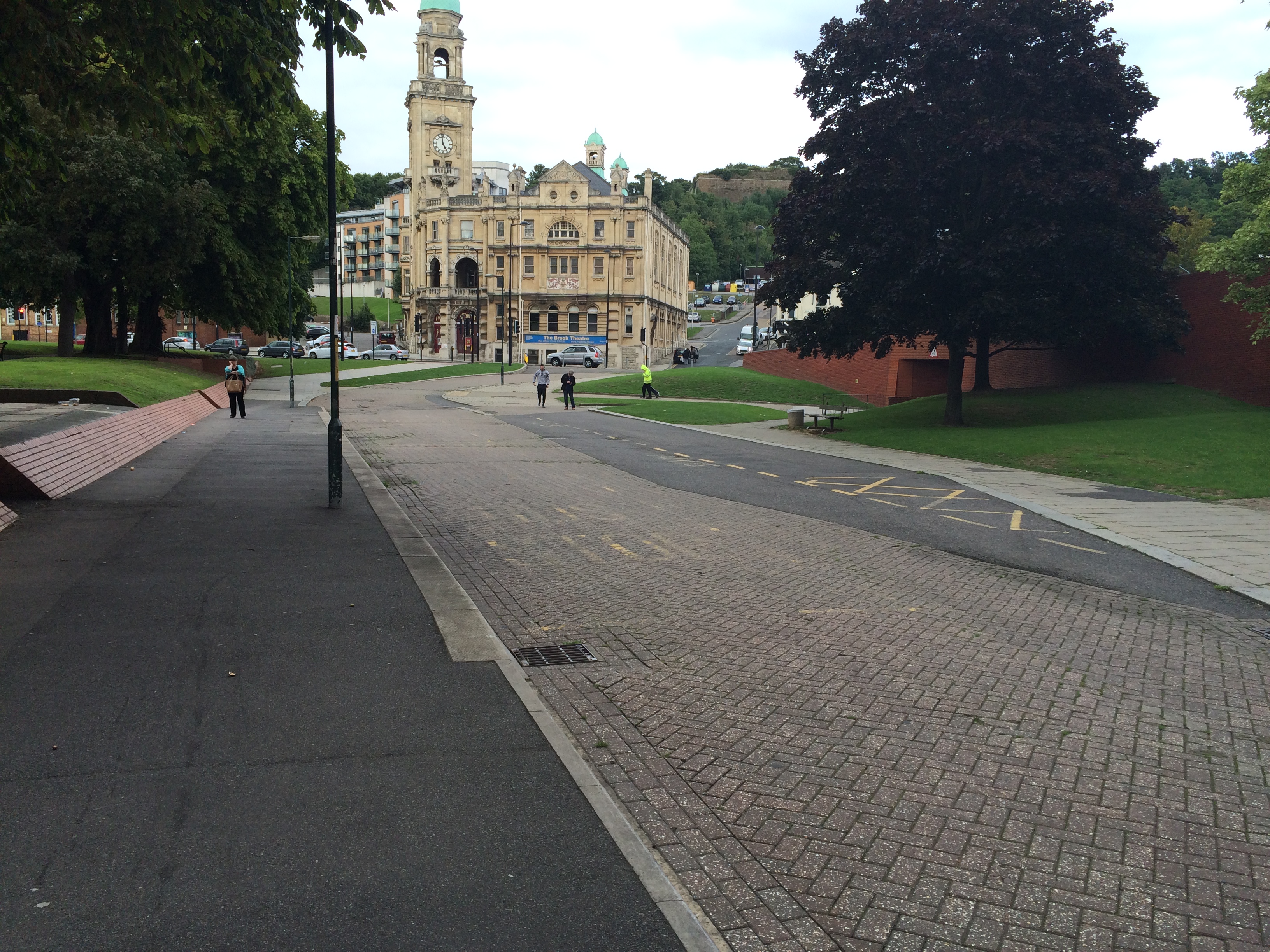
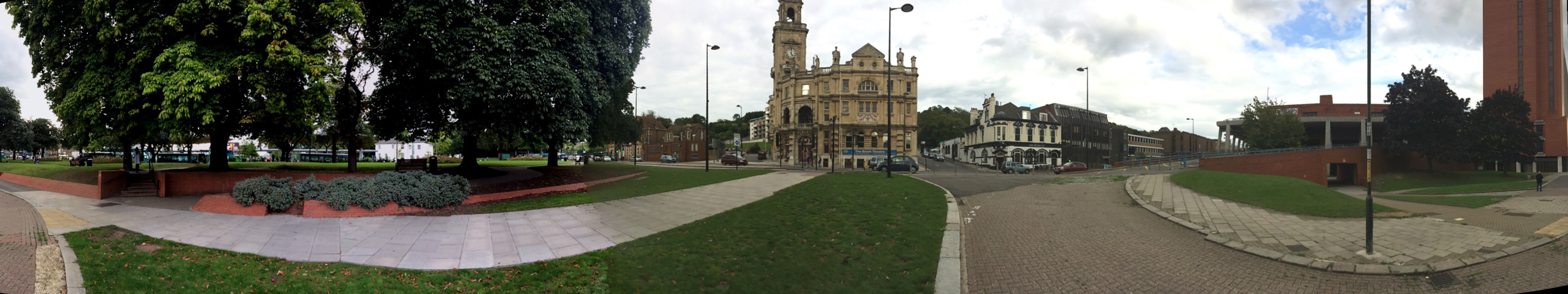
The lower section of Military Road, Chatham ought to be a highly activated, fluid, dynamic and versatile public space with the Brook Theatre as the anchor building and focus. Unfortunately the space is a dead zone, underused and slightly unsettling. Image:Christopher TippingA panoramic image of the lower section of Military Road, Chatham, which ought to be a highly activated, fluid, dynamic and versatile public space with the Brook Theatre as the anchor building and focus along with the adjacent Bus Station. Unfortunately the space is something of a dead zone, underused and slightly unsettling. Image:Christopher Tipping